
1893 Map of York
USGS Topo · Published 1893About this map
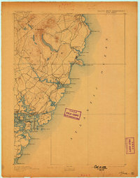
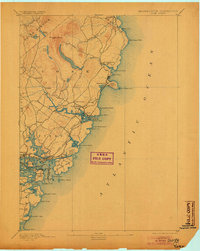
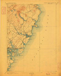
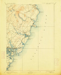
Mt Agamenticus rises as the primary landmark on this coastal Maine landscape, providing a topographical anchor for the surrounding seafaring communities of York and Kittery. In the late 19th century, the region's economy and social structure were defined by its relationship with the water, from the industrial presence of the Navy Yard on Seavy's Island to the growing seasonal appeal of York Beach. The York Beach and Railroad illustrates the early infrastructure connecting these shoreline settlements, while numerous navigation aids like The Nubble Light and Whale's Back Light guarded the entrance to Portsmouth Harbor.
Find a feature on this map
59 named features on this map. Tap any name to fly to it.
Don’t see what you’re looking for? This feature index may not catch every label — zoom into the map to look around manually.
Map Details
Editions of this 1893 York Map
5 editions found
Other maps of this area

1888 · Newburyport
USGS Topo · 1:62,500

1890 · Newburyport
USGS Topo · 1:62,500

1891 · Biddeford
USGS Topo · 1:62,500

1891 · Berwick
USGS Topo · 1:62,500

1891 · Kennebunk
USGS Topo · 1:62,500

1893 · Kennebunk
USGS Topo · 1:62,500

1893 · Dover
USGS Topo · 1:62,500

1893 · Berwick
USGS Topo · 1:62,500

1893 · Biddeford
USGS Topo · 1:62,500

1894 · Newburyport
USGS Topo · 1:62,500