Old Maps of Ward 5, Nashua for Academic Research
Study the evolution of Ward 5 with 57 high-resolution historic maps. Whether you're teaching, researching, or modeling changes in land use, these maps provide essential visual documentation of urban, environmental, and geographic change.
- Analyze long-term change: Track patterns in development, transportation, and natural features.
- Ideal for environmental or urban studies: Support academic projects with primary historical map data.
- Use in the classroom or lab: Educators and researchers rely on these maps to bring historical context to life.
These maps are a powerful tool for teaching, research, and visualizing how Ward 5 has changed over the decades.
Ward 5, Nashua maps
(57)- 1886 Map of Lowell
 1886 Lowell1886 Print · USGSThe industrial heart of the Merrimack Valley is captured here in the late nineteenth century, showing the expansion of textile hubs and rail networks. Genealogists and historians can trace family-named hills and early transit stops like Bedford Springs Station, Forge Village, and the Hudson Poor Farm.
 - 1893 Map of Lowell
 1893 Lowell1893 Print · USGSThe Merrimack Valley’s industrial and rail landscape comes alive in the late nineteenth century, centering on the growing city of Lowell. Genealogists and historians can trace old property lines across Pelham, locate the Flat Rock Quarry, or follow the routes of the Stony Brook Railroad through Graniteville.9 unique versions available
 - 1893 Map of Groton, 1905 Print
 1893 Groton1905 Print · USGSNorthern Massachusetts and the New Hampshire borderlands are shown here in the late nineteenth century as a hub of river industry and rail commerce. Researchers can trace historic sites like Shaker Village, the Groton School, and manufacturing hubs at Paper Mill Village.8 unique versions available
 - 1905 Map of Manchester
 1905 Manchester1905 Print · USGSSouthern New Hampshire at the turn of the century reveals a bustling region of river-powered industry and growing rail towns. Genealogists and historians can trace the early footprints of Manchester and Nashua or locate landmarks like Thorntons Ferry and the Londonderry Lithia Spring.4 unique versions available
 - 1906 Map of Milford
 1906 Milford1906 Print · USGSHillsborough County at the turn of the century is a landscape of thriving river towns and expanding rail lines. You can trace early 1900s family homesteads near Joe English Hill, visit the waters of Milford Springs, or locate the old Laurel PO.8 unique versions available
 - 1918 Map of Lowell
 1918 Lowell1918 Print · USGSGreater Lowell and the Merrimack Valley are shown at their industrial peak during the First World War. Genealogists can trace family connections to mill-town life in Middlesex Village or locate rural landmarks like Flat Rock Quarry and the Old Middlesex Canal.
 - 1921 Map of Lowell
 1921 Lowell1921 Print · USGSThe industrial corridor of the Merrimack Valley is captured here during the early twentieth century, showing the dense urban grid of Lowell alongside rural Middlesex County. Researchers can trace the extensive reach of the Boston and Maine Railroad and locate local landmarks like the Poor Farm or Flat Rock Quarry.
 - 1931 Map of Lowell
 1931 Lowell1931 Print · USGSSouthern New Hampshire and northern Massachusetts met along the river and rail lines in the early thirties. Local researchers can trace family lands near St Marie Convent, the site of Musquash Sch, and the heights of Jeremy Hill.
 - 1931 Map of Groton
 1931 Groton1931 Print · USGSThe Massachusetts and New Hampshire borderlands in the early thirties reveal a landscape of river-powered rail and rural industry. Genealogists can trace family landmarks and transport hubs like Hollis Sta, Potanopa Pond, and the Runnels Bridge.
 - 1935 Map of Groton
 1935 Groton1935 Print · USGSCrossing the New Hampshire border in the 1930s, this area was a bustling hub of rail transport and riverside industry. Researchers can trace the legacy of communal life at Shaker Village, locate the campus of Groton School, or follow the lines of the Boston and Maine RR through towns like Pepperell and Shirley.
 - 1935 Map of Lowell
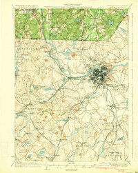 1935 Lowell1935 Print · USGSGreater Lowell and the Merrimack Valley are captured in the mid-1930s, showing a region defined by its industrial riverfront and extensive rail networks. Researchers can trace historic neighborhoods like Wamesit, local landmarks like St Marie Convent, and early industry at Flat Rock Quarry.3 unique versions available
 - 1936 Map of Groton
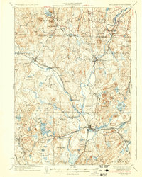 1936 Groton1936 Print · USGSNorthern Middlesex County and southern New Hampshire appear here in the mid-1930s, showing a landscape shaped by river power and a dense rail network. Researchers can trace historic sites like the Shaker Village and Groton School, or locate old depots at Townsend Harbor and Ayer.3 unique versions available
 - 1940 Map of Tyngsoboro
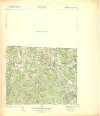 1940 Tyngsoboro1940 Print · USGSMiddlesex County emerges in the era before the post-war suburban boom, centered on the Merrimack River and the Boston and Maine RR. Genealogists can trace family locations at Whidden Corner and Fletcher Cem, or find recreational landmarks like Camp Massapoag.
 - 1941 Map of Manchester
 1941 Manchester1941 Print · USGSSouthern New Hampshire is captured here just before the mid-century boom, showing the river-and-rail corridor between Manchester and Nashua. Researchers can trace old ferry sites like Thorntons Ferry and find vanished rural landmarks like Londonderry Lithia Spring or the Musquash School.3 unique versions available
 - 1941 Map of Tyngsboro
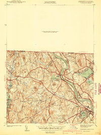 1941 Tyngsboro1941 Print · USGSMiddlesex County communities along the Merrimack River are caught at a point of transition just before the mid-century. Genealogists and local historians can trace family-named crossroads like Frederick Corner and locate the historic Fletcher Quarry or the Central Cem.2 unique versions available
 - 1942 Map of Tyngsboro
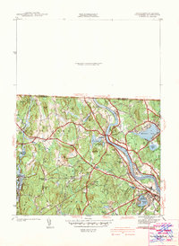 1942 Tyngsboro1942 Print · USGSThe Merrimack River valley and the Massachusetts-New Hampshire border come alive in this pre-war survey of a landscape defined by granite quarries and river islands. Genealogists can trace family landmarks at Frederick Corner, locate historic burials at Central Cem, or find the old Notre Dame Academy.
 - 1943 Map of Lowell
 1943 Lowell1943 Print · USGSCentral New England industrial hubs and rural borderlands are mapped here during the early 1940s. Genealogists can trace family names across Mt Misery, Barrett Hill, and small settlements like Collinsville or North Pelham.
 - 1943 Map of Fitchburg
 1943 Fitchburg1943 Print · USGSSouthern New Hampshire and northern Massachusetts are captured during the war years, showing a landscape of river-powered mill towns and mountain trails. You can trace family roots in Peterboro, locate the historic Groton School, or study the rail lines of the Boston & Maine RR.
 - 1944 Map of Pepperell
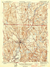 1944 Pepperell1944 Print · USGSThe Nashua River valley at the New Hampshire border shows a landscape of busy rail junctions and rural crossroads during the 1940s. Genealogists can trace family names through several burial sites like Blood Cem and locate vanished stop-points like Hollis Depot and Hovey Corner.2 unique versions available
 - 1946 Map of Tyngsboro
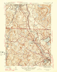 1946 Tyngsboro1946 Print · USGSThe Merrimack River valley in the mid-1940s reveals a landscape of transit and tradition along the Massachusetts-New Hampshire border. Genealogists and historians can trace local family lineages through named landmarks like Frederick Corner or locate old burial sites including Thompson Cem and Sherburne Cem.2 unique versions available
 - 1948 Map of Boston
 1948 Boston1948 Print · USGSEastern Massachusetts and southern New Hampshire appear at an industrial peak in the late 1940s, just as suburban growth began to accelerate. Genealogists and historians can trace rail lines like the Boston and Albany RR or locate coastal landmarks like Graves Lighthouse and Fort Devens.2 unique versions available
 - 1950 Map of Pepperell, 1952 Print
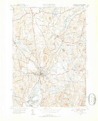 1950 Pepperell1952 Print · USGSThe borderlands of Massachusetts and New Hampshire are captured here at mid-century, centered on the river junctions and rail lines of the Nashua valley. Genealogists and local historians can trace the Boston and Maine tracks to the Hollis Depot or locate family plots at St Joseph Cem and Woodlawn Cem.4 unique versions available
 - 1950 Map of Tyngsboro, 1952 Print
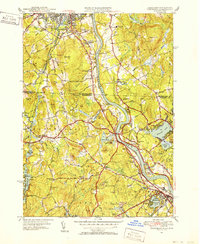 1950 Tyngsboro1952 Print · USGSThe Merrimack River valley at the mid-century mark reveals a landscape of growing towns and academic centers along the New Hampshire border. Researchers can trace old family sites like Frederick Corner, locate the Flat Rock Quarry, or find the Old Dunstable Cem.3 unique versions available
 - 1953 Map of Manchester, 1958 Print
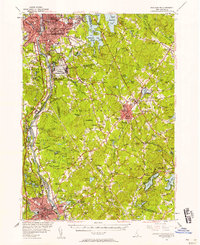 1953 Manchester1958 Print · USGSSouthern New Hampshire thrives in the early fifties as industrial cities and military installations like Grenier Air Force Base anchor the Merrimack Valley. Trace ancestral roots at St Josephs Cem or locate old river crossings like Thorntons Ferry.4 unique versions available
 - 1953 Map of Milford, 1958 Print
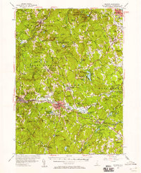 1953 Milford1958 Print · USGSHillsborough County in the early fifties shows a landscape of growing towns and established institutions. Trace family roots and local history near Milford or explore the mid-century layout of St Anselms College and the Baboosic Lake shoreline.3 unique versions available
Showing maps 1-25 of 57
Top cities near Ward 5
- Manchester historical maps
- Lowell historical maps
- Nashua historical maps
- Leominster historical maps
- Billerica historical maps
- Derry historical maps
See more
Frequently asked questions
- What are the different types of historical maps available for Ward 5?
- What is the oldest map of Ward 5?
- Where can I purchase historical maps of Ward 5 for my home or office?
- Where can I download high-res historical maps of Ward 5?
- Are there historical topographic maps available for Ward 5?
- Is there historical aerial imagery available for Ward 5?
- Where are historical maps of Ward 5 sourced from?