Old Maps of Temple, New Hampshire for Hiking & Exploration
Hike through history with 37 historic maps of Temple. Explore old trails, ghost towns, and forgotten backroads — perfect for outdoor adventurers and local explorers.
- Rediscover forgotten places: Map out old mining camps, roads, and footpaths that no longer exist on modern maps.
- Layer with modern tools: Combine with LiDAR or satellite views to plan hikes through historical terrain.
- Made for exploration: Popular among hikers, overlanders, and local history lovers.
Use these maps to find adventure and explore the hidden past of Temple.
Temple, NH maps
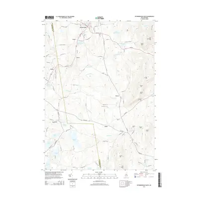
(37)- 1900 Map of Peterboro
 1900 Peterboro1900 Print · USGSHillsborough County villages and mountain ranges come into sharp focus during the late Victorian era as rail lines expanded through the valley. Researchers can trace the Boston and Maine RR corridors and locate family landmarks from Peterboro to New Ipswich and Lithia Spring.9 unique versions available
 - 1943 Map of Fitchburg
 1943 Fitchburg1943 Print · USGSSouthern New Hampshire and northern Massachusetts are captured during the war years, showing a landscape of river-powered mill towns and mountain trails. You can trace family roots in Peterboro, locate the historic Groton School, or study the rail lines of the Boston & Maine RR.
 - 1948 Map of Boston
 1948 Boston1948 Print · USGSEastern Massachusetts and southern New Hampshire appear at an industrial peak in the late 1940s, just as suburban growth began to accelerate. Genealogists and historians can trace rail lines like the Boston and Albany RR or locate coastal landmarks like Graves Lighthouse and Fort Devens.2 unique versions available
 - 1953 Map of Peterborough, 1956 Print
 1953 Peterborough1956 Print · USGSHillsborough County in the mid-fifties is captured here as a region of mill towns and mountain trails during a period of steady growth. Researchers can locate family landmarks like the Edward MacDowell Grave, trace the Boston and Maine Railroad, or find old school sites like Appleton Academy.3 unique versions available
 - 1956 Map of Boston, 1967 Print
 1956 Boston1967 Print · USGSThe Massachusetts coastline and industrial interior are seen here during the mid-century peak of suburban and highway expansion. Researchers can trace historic harbor defenses like Fort Revere, local landmarks such as Faneuil Hall, and the vast Parker River National Wildlife Refuge.6 unique versions available
 - 1958 Map of Boston
 1958 Boston1958 Print · USGSEastern Massachusetts and southern New Hampshire are shown at the height of the industrial era, before the full expansion of the interstate system. Trace coastal defenses at Fort Warren, historic rail lines like the Boston and Maine, and the development of the Mass. 128 corridor.2 unique versions available
 - 1961 Map of Boston
 1961 Boston1961 Print · USGSThe Massachusetts coastline and its industrial interior are detailed here in the mid-twentieth century, from the Monadnock highlands to Cape Cod. Researchers can trace the rail routes of the Boston and Maine or locate landmarks like Fort Devens and the Wachusett Reservoir.2 unique versions available
 - 1984 Map of Lowell
 1984 Lowell1984 Print · USGSThe Merrimack Valley industrial corridor is captured here in the mid-eighties, showing the interconnected growth of Lowell, Nashua, and Lawrence. Genealogists and historians can trace the paths of the Boston and Maine railroad or locate institutional landmarks like Merrimack College and the Fort Devens Military Reservation.
 - 1987 Map of Peterborough South
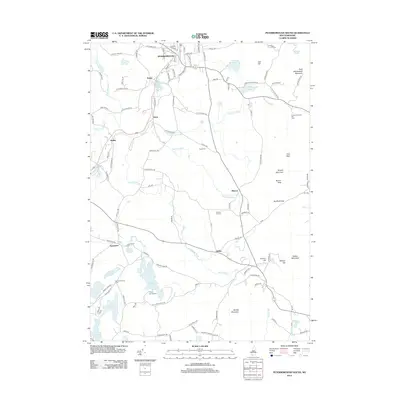
 1987 Peterborough South1987 Print · USGSSouthern New Hampshire’s highlands and forests come alive in the late 1980s, centered on the ridgelines of the TEMPLE MOUNTAIN RANGE. Hikers and local historians can trace the Wapack Trail past peaks and ponds or locate old settlements like Noone and Drury.
 - 1987 Map of Greenville
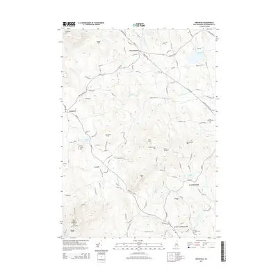
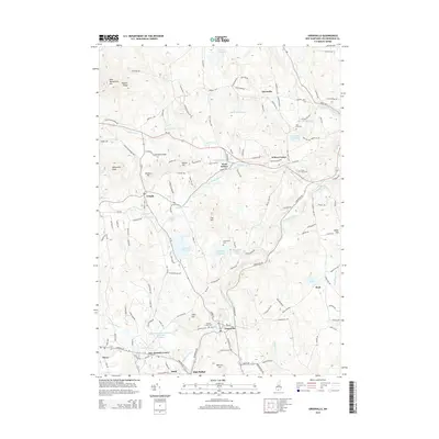
 1987 Greenville1987 Print · USGSSouthern New Hampshire's hill country is captured here during the late twentieth century, centered on the mill town of Greenville. Researchers can trace the Souhegan River past High Bridge or locate local landmarks like Wilton Center and Pratt Pond.
 - 1987 Map of Peterborough North
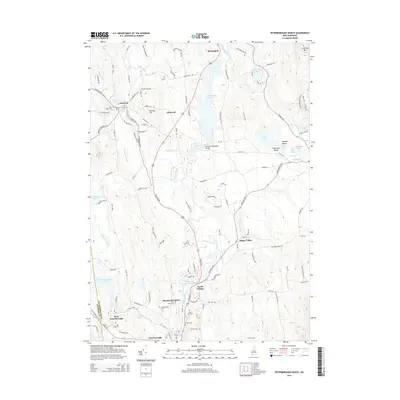
 1987 Peterborough North1987 Print · USGSHillsborough County's mill towns and artist retreats are documented in this late-century survey of the Contoocook Valley. Genealogists and researchers can trace the roads through North Village, find the MacDowell Colony, and locate landmarks like St Joseph Minor Seminary.
 - 1987 Map of Greenfield
 1987 Greenfield1987 Print · USGSHillsborough County in the late 1980s reveals a rugged landscape of granite peaks and quiet village centers. Genealogists and hikers can trace old roads between Francestown, South Lyndeborough, and high landmarks like Crotched Mountain or the waters of Haunted Lake.
 - 1988 Map of Lowell
 1988 Lowell1988 Print · USGSThe industrial corridor of the Merrimack Valley is captured in the late eighties as it transitioned into a modern technological and residential hub. Genealogists and researchers can trace the urban layouts of Lowell and Nashua alongside landmarks like Massabesic Lake and Miller State Park.2 unique versions available
 - 1995 Map of Greenfield, 1999 Print
 1995 Greenfield1999 Print · USGSHillsborough County's highland landscape is captured in the mid-nineties, showing the rugged connection between hilltop summits and valley settlements. Genealogists and local historians can trace family-named landmarks from Gould Hill to Francestown and locate historic water bodies like Haunted Lake.
 - 1997 Map of Greenville, 1998 Print
 1997 Greenville1998 Print · USGSThe southern hills of New Hampshire appear in detail during the late nineties, centered on the mill town of Greenville and the winding Souhegan River. Researchers can trace old family landmarks and local infrastructure from the Old Wilton Reservoir to the historic High Bridge.
 - 1997 Map of Peterborough North, 1998 Print
 1997 Peterborough North1998 Print · USGSHillsborough County in the late nineties is a landscape of artist colonies and river-powered hamlets centered on the Contoccook River. Researchers can locate family landmarks such as the St Joseph Minor Seminary Cem or explore the grounds of the historic MacDowell Colony.
 - 1997 Map of Peterborough South, 1998 Print
 1997 Peterborough South1998 Print · USGSHillsborough County's highland forests and river valleys are captured here in the late 1990s, highlighting a landscape defined by conservation and topography. Researchers can trace the Wapack Trail over Barrett Mountain or locate historical settlements like Noone and Squantum.
 - 2012 Map of Greenfield, 2012 Print
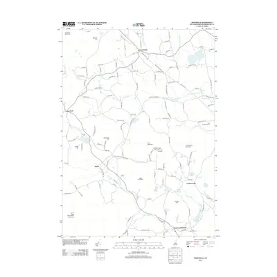 2012 Greenfield2012 Print · USGSCovers Temple, including New Boston, Greenfield, and other nearby areas
 - 2012 Map of Greenville, 2012 Print
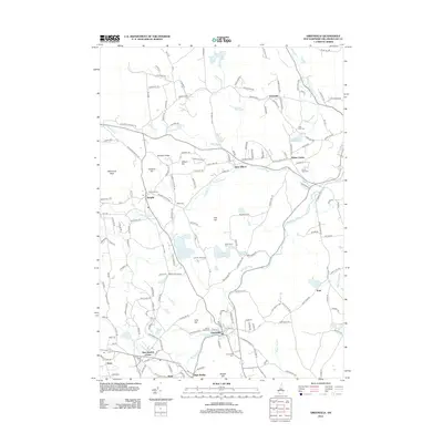 2012 Greenville2012 Print · USGSCovers Temple, including New Ipswich, Wilton, and other nearby areas
 - 2012 Map of Peterborough North, 2012 Print
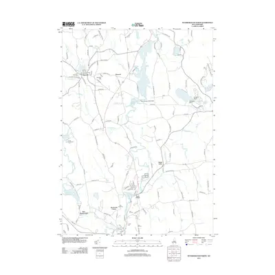 2012 Peterborough North2012 Print · USGSCovers Temple, including Peterborough, Hancock, and other nearby areas
 - 2012 Map of Peterborough South, 2012 Print
 2012 Peterborough South2012 Print · USGSCovers Temple, including Rindge, Peterborough, and other nearby areas
 - 2015 Map of Greenfield, 2015 Print
 2015 Greenfield2015 Print · USGSCovers Temple, including New Boston, Greenfield, and other nearby areas
 - 2015 Map of Peterborough North, 2015 Print
 2015 Peterborough North2015 Print · USGSCovers Temple, including Peterborough, Hancock, and other nearby areas
 - 2015 Map of Greenville, 2015 Print
 2015 Greenville2015 Print · USGSCovers Temple, including New Ipswich, Wilton, and other nearby areas
 - 2015 Map of Peterborough South, 2015 Print
 2015 Peterborough South2015 Print · USGSCovers Temple, including Rindge, Peterborough, and other nearby areas
Showing maps 1-25 of 37
Top cities near Temple
- Fitchburg historical maps
- Gardner historical maps
- Goffstown historical maps
- Milford historical maps
- Pepperell historical maps
- Groton historical maps
See more
Frequently asked questions
- What are the different types of historical maps available for Temple?
- What is the oldest map of Temple?
- Where can I purchase historical maps of Temple for my home or office?
- Where can I download high-res historical maps of Temple?
- Are there historical topographic maps available for Temple?
- Is there historical aerial imagery available for Temple?
- Where are historical maps of Temple sourced from?