Old Maps of Danville, New Hampshire for Academic Research
Study the evolution of Danville with 24 high-resolution historic maps. Whether you're teaching, researching, or modeling changes in land use, these maps provide essential visual documentation of urban, environmental, and geographic change.
- Analyze long-term change: Track patterns in development, transportation, and natural features.
- Ideal for environmental or urban studies: Support academic projects with primary historical map data.
- Use in the classroom or lab: Educators and researchers rely on these maps to bring historical context to life.
These maps are a powerful tool for teaching, research, and visualizing how Danville has changed over the decades.
Danville, NH maps
(24)- 1888 Map of Haverhill
 1888 Haverhill1888 Print · USGSThe Merrimack Valley at the end of the nineteenth century reveals a landscape shaped by heavy rail and river industry. Genealogists can trace family footprints through historic hubs like Salem Depot, Ayers Village, and the bustling streets of Haverhill.
 - 1890 Map of Haverhill
 1890 Haverhill1890 Print · USGSSoutheastern New Hampshire and northern Massachusetts meet here in the 1890s along the industrial corridor of the Merrimac River. Local historians can trace the early rail network through Newton Junction, Salem Depot, and the dense street grids of Haverhill.
 - 1893 Map of Haverhill
 1893 Haverhill1893 Print · USGSThe Merrimack Valley at the end of the nineteenth century was a bustling network of rail-side villages and river industry. Genealogists can trace family lines through transit hubs like Newton Junction, rural hamlets like Ayer Village, and local landmarks like Spicket Hill.7 unique versions available
 - 1935 Map of Haverhill
 1935 Haverhill1935 Print · USGSThe borderlands of New Hampshire and Massachusetts appear here in the mid-1930s, showing a landscape defined by the Merrimack River and a dense rail network. Genealogists can trace family landmarks like Philbrick Hill or locate old schoolhouses including South Road Sch and the Depot Sch.5 unique versions available
 - 1943 Map of Lowell
 1943 Lowell1943 Print · USGSCentral New England industrial hubs and rural borderlands are mapped here during the early 1940s. Genealogists can trace family names across Mt Misery, Barrett Hill, and small settlements like Collinsville or North Pelham.
 - 1948 Map of Boston
 1948 Boston1948 Print · USGSEastern Massachusetts and southern New Hampshire appear at an industrial peak in the late 1940s, just as suburban growth began to accelerate. Genealogists and historians can trace rail lines like the Boston and Albany RR or locate coastal landmarks like Graves Lighthouse and Fort Devens.2 unique versions available
 - 1956 Map of Haverhill, 1959 Print
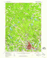 1956 Haverhill1959 Print · USGSMid-century New England comes to life across the New Hampshire and Massachusetts border during this period of significant growth. Genealogists and historians can trace the Whittier Birthplace, numerous local schools like Tilton Sch, and the busy corridors of the Boston and Maine Railroad.3 unique versions available
 - 1956 Map of Boston, 1967 Print
 1956 Boston1967 Print · USGSThe Massachusetts coastline and industrial interior are seen here during the mid-century peak of suburban and highway expansion. Researchers can trace historic harbor defenses like Fort Revere, local landmarks such as Faneuil Hall, and the vast Parker River National Wildlife Refuge.6 unique versions available
 - 1958 Map of Boston
 1958 Boston1958 Print · USGSEastern Massachusetts and southern New Hampshire are shown at the height of the industrial era, before the full expansion of the interstate system. Trace coastal defenses at Fort Warren, historic rail lines like the Boston and Maine, and the development of the Mass. 128 corridor.2 unique versions available
 - 1961 Map of Boston
 1961 Boston1961 Print · USGSThe Massachusetts coastline and its industrial interior are detailed here in the mid-twentieth century, from the Monadnock highlands to Cape Cod. Researchers can trace the rail routes of the Boston and Maine or locate landmarks like Fort Devens and the Wachusett Reservoir.2 unique versions available
 - 1981 Map of Kingston
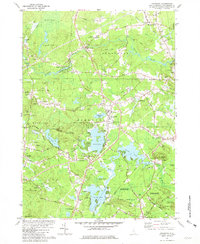 1981 Kingston1981 Print · USGSSouthern New Hampshire's pond country is captured here in the early eighties, showing the historic village centers of Kingston and Brentwood. Genealogists can trace family sites at Ye Old Cem or Brentwood Cem and locate landmarks like the Ye Old Meeting House.2 unique versions available
 - 1981 Map of Sandown
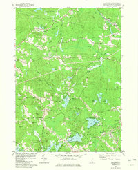 1981 Sandown1981 Print · USGSSoutheastern New Hampshire’s wooded hills and pond-side communities are captured here in the early 1980s. Genealogists and local historians can trace family roots through several landmarks, including Lakeview Cem, Wells Cem, and the community surrounding Angle Pond.3 unique versions available
 - 1984 Map of Lowell
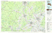 1984 Lowell1984 Print · USGSThe Merrimack Valley industrial corridor is captured here in the mid-eighties, showing the interconnected growth of Lowell, Nashua, and Lawrence. Genealogists and historians can trace the paths of the Boston and Maine railroad or locate institutional landmarks like Merrimack College and the Fort Devens Military Reservation.
 - 1988 Map of Lowell
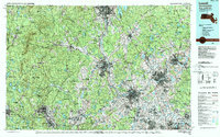 1988 Lowell1988 Print · USGSThe industrial corridor of the Merrimack Valley is captured in the late eighties as it transitioned into a modern technological and residential hub. Genealogists and researchers can trace the urban layouts of Lowell and Nashua alongside landmarks like Massabesic Lake and Miller State Park.2 unique versions available
 - 2012 Map of Kingston, 2012 Print
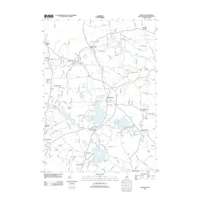 2012 Kingston2012 Print · USGSThe Kingston area of Rockingham County shows a landscape of river-fed townships and historical burying grounds during the early twenty-first century. Genealogists can locate family landmarks like Wadleigh Cem and Mill Hill Cem, while tracing the bypasses and corners of East Kingston and South Danville.
 - 2012 Map of Sandown, 2012 Print
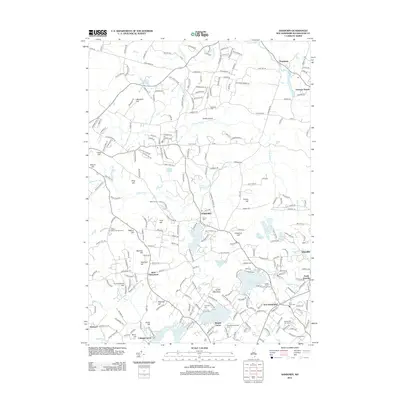 2012 Sandown2012 Print · USGSThe Rockingham County landscape near Sandown is shown here in the early twenty-first century, featuring a dense network of glacial ponds and historic town centers. Researchers can trace family roots at Center Cem or Sanborn Cem and locate old aviation sites like Heaton Airport.
 - 2015 Map of Kingston, 2015 Print
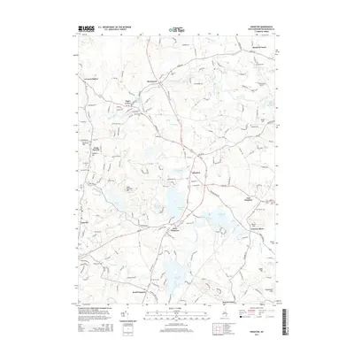 2015 Kingston2015 Print · USGSRockingham County at the mid-2010s reveals a landscape of historic village clusters and extensive waterways. Researchers can trace deep family roots at Ye Old Cem and Soldiers Cem or locate old community hubs at Brentwood and Pages Corner.
 - 2015 Map of Sandown, 2015 Print
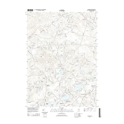 2015 Sandown2015 Print · USGSRockingham County at the mid-2010s reveals a community of lakeside settlements and historic townships. Trace local family roots and geography across Sandown, Danville, and Hampstead, noting local landmarks like Heaton Airport and the Center Cem.
 - 2018 Map of Kingston, 2018 Print
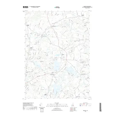 2018 Kingston2018 Print · USGSThe interconnected ponds and river valleys of Rockingham County are documented here in the late twenty-teens. Researchers can locate numerous family and municipal burial sites like Wadleigh Cem and Highland Cem or trace settlements at Fremont Station and Danville.
 - 2018 Map of Sandown, 2018 Print
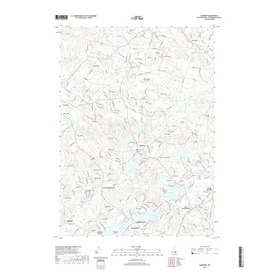 2018 Sandown2018 Print · USGSRockingham County at the turn of the twenty-first century reveals a landscape where historic village centers meet quiet lakeside retreats. Researchers can trace family roots through numerous burial sites like Sanborn Cem or explore landmarks such as the New Poverty Flats Airport and Big Island Pond.
 - 2021 Map of Sandown, 2021 Print
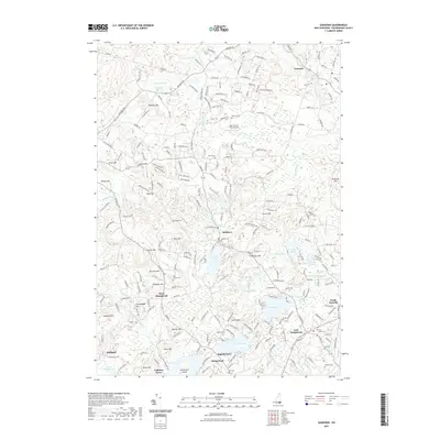 2021 Sandown2021 Print · USGSRockingham County is shown in detail during the early twenty-first century, centered on the villages of Sandown and Hampstead. Researchers can trace local burial sites like Pine Knoll Cem and Wells Cem or locate landmarks like the New Poverty Flats Airport.
 - 2021 Map of Kingston, 2021 Print
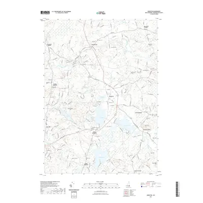 2021 Kingston2021 Print · USGSThe Rockingham County landscape near Kingston is captured here in the early 2020s, showing a region defined by its historic village centers and abundant glacial ponds. Genealogists can locate many local burial sites, including Hillside Cemetery, Soldiers Cemetery, and Ye Old Cemetery.
 - 2024 Map of Sandown, 2024 Print
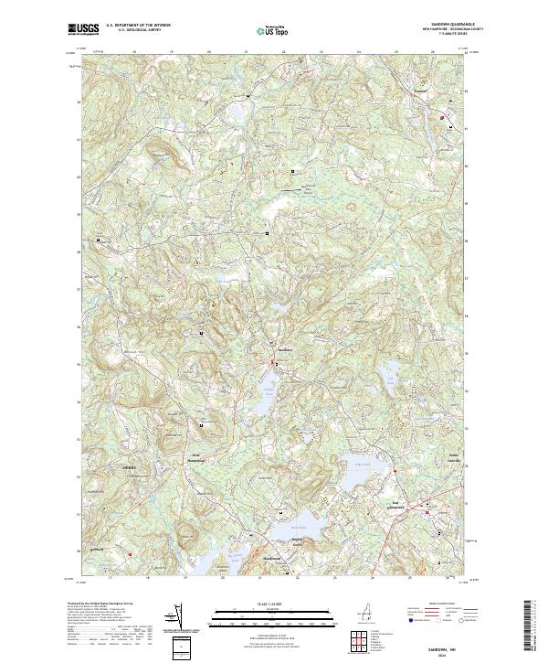 2024 Sandown2024 Print · USGSRockingham County at the start of the 2020s shows a landscape where historic village centers meet the sprawling waters of Big Island Pond and Angle Pond. Researchers can trace old family burial grounds like Sanborn Cem or follow the route of the Rockingham Rec Rail Trl.
 - 2024 Map of Kingston, 2024 Print
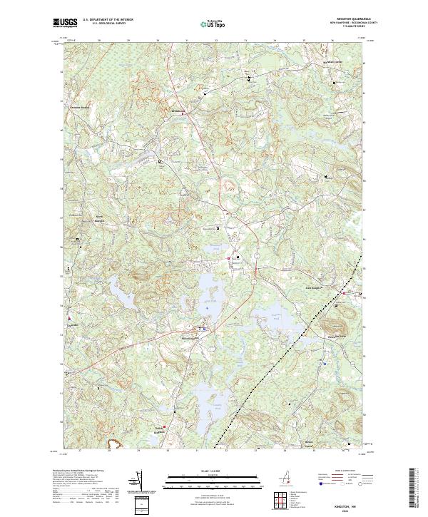 2024 Kingston2024 Print · USGSRockingham County at the start of the 2020s shows a landscape where historic town centers and rural corners remain well-defined. Genealogists can trace family lines across numerous burial sites like Plains Cem and Mill Hill Cem, or locate landmarks like Fremont Station.
End of results
Showing maps 1-24 of 24
Top cities near Danville
- Lawrence historical maps
- Haverhill historical maps
- Methuen historical maps
- Derry historical maps
- Dover historical maps
- Salem historical maps
See more
Top neighborhoods of Danville
Frequently asked questions
- What are the different types of historical maps available for Danville?
- What is the oldest map of Danville?
- Where can I purchase historical maps of Danville for my home or office?
- Where can I download high-res historical maps of Danville?
- Are there historical topographic maps available for Danville?
- Is there historical aerial imagery available for Danville?
- Where are historical maps of Danville sourced from?