Old Maps of Greenland, New Hampshire for Genealogy
Trace your family roots with 23 historic maps of Greenland. These high-res maps reveal old neighborhoods, homesites, landmarks, and streets — helping you uncover where your ancestors lived and how the area evolved over time.
- Explore historic neighborhoods: Identify where your relatives may have lived in the 1800s or 1900s.
- Compare maps over time: Trace the changes in streets, buildings, and landmarks for multi-generational research.
- Perfect for genealogy & ancestry research: Used by family historians and researchers to map out lineage and migration.
These maps are an incredible resource for exploring your personal connection to Greenland's past.
Greenland, NH maps
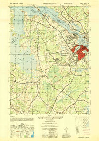
(23)- 1893 Map of Dover
 1893 Dover1893 Print · USGSThe Maine and New Hampshire borderlands come alive in this late nineteenth-century survey of the Seacoast and Piscataqua River regions. Genealogists and historians can trace defunct rail stops like Barrington Station and South Newmarket Junction or locate the industrial Great Works mill.5 unique versions available
 - 1916 Map of Dover
 1916 Dover1916 Print · USGSCoastal New Hampshire and the Maine borderlands are captured here during the height of the rail era. Genealogists can locate dozens of district schools like Madbury School and trace the paths of the Boston and Maine Railroad through Portsmouth and Dover.2 unique versions available
 - 1918 Map of Dover
 1918 Dover1918 Print · USGSCoastal New Hampshire and the Maine borderlands are captured here during the First World War era, showing a landscape defined by tidal rivers and rail networks. Genealogists can trace family landmarks and early civic life through the State College in Durham, the Kittery Depot, and local schoolhouses like Marshwood.6 unique versions available
 - 1941 Map of Dover
 1941 Dover1941 Print · USGSCoastal New Hampshire and the Maine borderlands are captured here just before the mobilization of the early 1940s. Genealogists can trace family lands near Garrison Hill, old district schools like Witchtrot Sch, and the rail depots at Greenland Village Sta.
 - 1949 Map of Portland
 1949 Portland1949 Print · USGSCoastal Maine and the New Hampshire interior are shown in detail during the late forties, from the bustling harbors to the lakeside villages. Researchers can trace historical rail networks like the Boston & Maine RR and locate coastal defenses such as Fort Preble.3 unique versions available
 - 1952 Map of Portsmouth
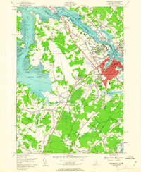
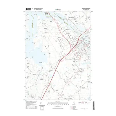
 1952 Portsmouth1952 Print · USGSCoastal New Hampshire and Maine are shown in detail during the early fifties, centering on the harbor and the bustling city of Portsmouth. Trace the development of the Piscataqua River waterfront, find ancestral sites like Winnicut Mills, and locate old rail hubs at Greenland Station or Newington Station.
 - 1956 Map of Newmarket, 1958 Print
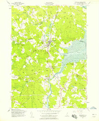 1956 Newmarket1958 Print · USGSCoastal New Hampshire's river-fed mill towns and rail junctions are caught in detail during the mid-1950s. Genealogists and historians can trace family plots at Riverside Cem or locate the vital rail hub at Rockingham Junction and the small settlement of Littlefield.5 unique versions available
 - 1956 Map of Dover, 1960 Print
 1956 Dover1960 Print · USGSCoastal New Hampshire and the Maine borderlands are captured here during a period of massive transition as modern infrastructure meets historic mill towns. Researchers can trace the development of Pease Air Force Base or locate family roots at Winnicut Mills and Packers Falls Cem.4 unique versions available
 - 1956 Map of Portland, 1963 Print
 1956 Portland1963 Print · USGSSouthern Maine and eastern New Hampshire are captured here in the mid-fifties, during a time of major highway expansion and military growth. You can trace the path of the Maine Turnpike and locate landmarks like the Portsmouth Naval Shipyard and Sebago Lake.4 unique versions available
 - 1956 Map of Portsmouth, 1963 Print
 1956 Portsmouth1963 Print · USGSCoastal New Hampshire and Maine are shown here during the mid-fifties, just as the massive Pease Air Force Base was established. Researchers can trace family sites from Winnicut Mills to Atlantic Heights and find local landmarks like Breakfast Hill.4 unique versions available
 - 1959 Map of Portland
 1959 Portland1959 Print · USGSThe Maine and New Hampshire coastlines meet in this mid-century portrait of maritime commerce and inland rail networks. Researchers can trace the legacy of coastal defense at Fort Williams and follow the historic path of the Maine Central RR through the White Mountain National Forest.2 unique versions available
 - 1963 Map of Portland
 1963 Portland1963 Print · USGSCoastal Maine and New Hampshire thrived as maritime and industrial hubs during the mid-sixties, linked by a dense network of rail and river. Researchers can trace historic transit corridors like the Maine Central RR and locate key sites such as the Portsmouth Naval Shipyard or Pease Air Force Base.3 unique versions available
 - 1985 Map of Kittery, 1986 Print
 1985 Kittery1986 Print · USGSThe Maine and New Hampshire borderlands are shown here in the mid-eighties, centered on the strategic Piscataqua River harbor. Genealogists and historians can trace the development of coastal towns like York or locate the sprawling Portsmouth Naval Shipyard and Pease Air Force Base.2 unique versions available
 - 2012 Map of Portsmouth, 2012 Print
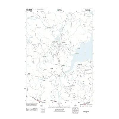
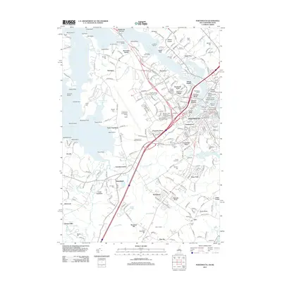 2012 Portsmouth2012 Print · USGSCovers Greenland, including Dover, Portsmouth, and other nearby areas
 - 2012 Map of Newmarket, 2012 Print
 2012 Newmarket2012 Print · USGSCovers Greenland, including Durham, Exeter, and other nearby areas
 - 2015 Map of Newmarket, 2015 Print
 2015 Newmarket2015 Print · USGSCovers Greenland, including Durham, Exeter, and other nearby areas
 - 2015 Map of Portsmouth, 2015 Print
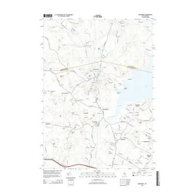
 2015 Portsmouth2015 Print · USGSCovers Greenland, including Dover, Portsmouth, and other nearby areas
 - 2018 Map of Newmarket, 2018 Print
 2018 Newmarket2018 Print · USGSCovers Greenland, including Durham, Exeter, and other nearby areas
 - 2018 Map of Portsmouth, 2018 Print
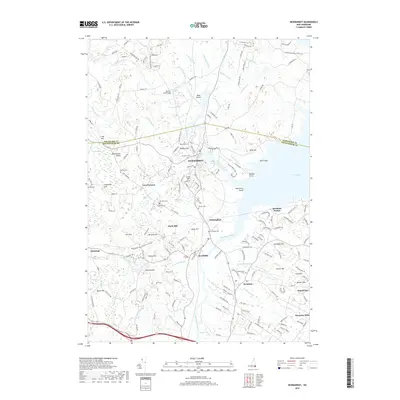
 2018 Portsmouth2018 Print · USGSCovers Greenland, including Dover, Portsmouth, and other nearby areas
 - 2021 Map of Newmarket, 2021 Print
 2021 Newmarket2021 Print · USGSCovers Greenland, including Durham, Exeter, and other nearby areas
 - 2021 Map of Portsmouth, 2021 Print
 2021 Portsmouth2021 Print · USGSCovers Greenland, including Dover, Portsmouth, and other nearby areas
 - 2024 Map of Newmarket, 2024 Print
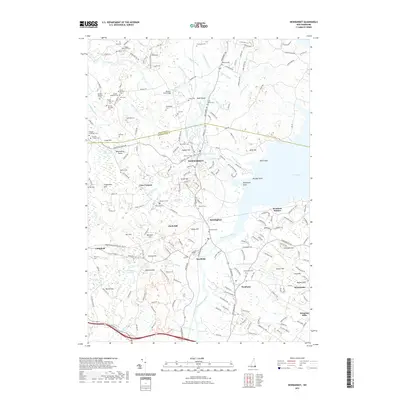
 2024 Newmarket2024 Print · USGSCoastal New Hampshire and the Squamscott River valley are shown here in recent years, documenting a landscape of tidal creeks and ancient family lands. Genealogists can locate dozens of small burial sites like the Cheswell Cem or trace the Rockingham Rec. Rail Trl through Newfields.
 - 2024 Map of Portsmouth, 2024 Print
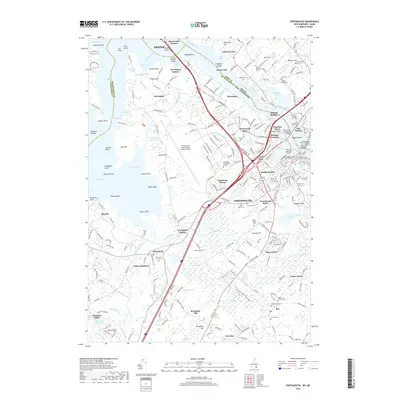
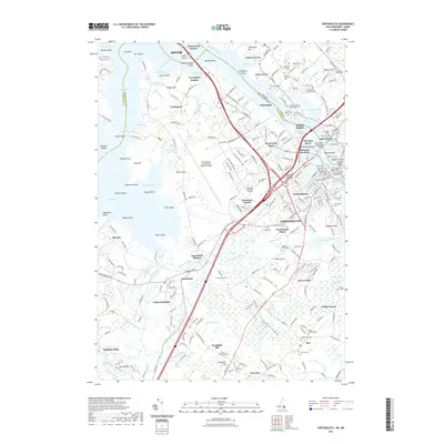
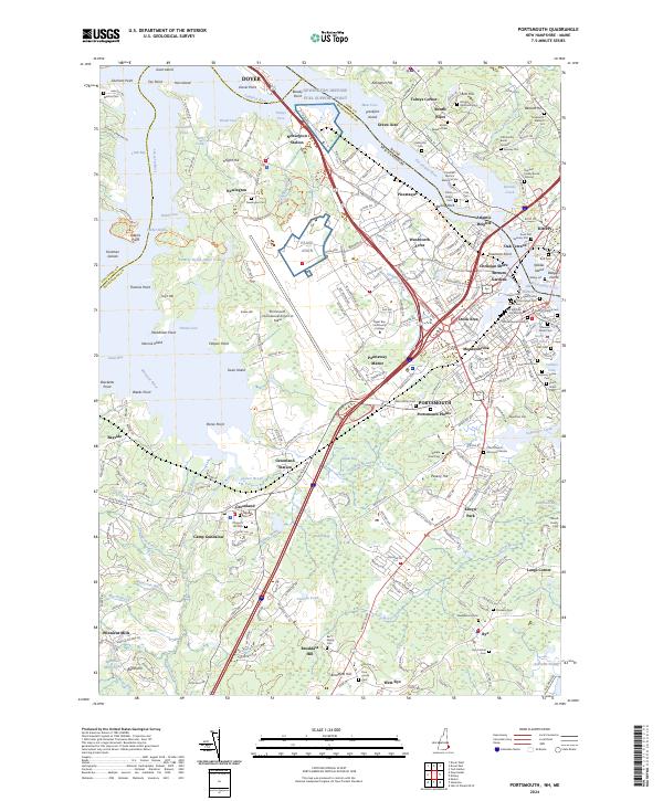 2024 Portsmouth2024 Print · USGSPortsmouth and the Seacoast region are shown at their modern height, balancing deep maritime history with significant military and industrial hubs. Genealogists can locate family burial sites like the Spinney Plot and Rice Cem or trace the early paths of Winnicut Mills.
End of results
Showing maps 1-23 of 23
Top cities near Greenland
- Haverhill historical maps
- Dover historical maps
- Rochester historical maps
- Portsmouth historical maps
- Newburyport historical maps
- Amesbury historical maps
See more
Top neighborhoods of Greenland
Frequently asked questions
- What are the different types of historical maps available for Greenland?
- What is the oldest map of Greenland?
- Where can I purchase historical maps of Greenland for my home or office?
- Where can I download high-res historical maps of Greenland?
- Are there historical topographic maps available for Greenland?
- Is there historical aerial imagery available for Greenland?
- Where are historical maps of Greenland sourced from?