Old Maps of Salem, New Hampshire for Academic Research
Study the evolution of Salem with 64 high-resolution historic maps. Whether you're teaching, researching, or modeling changes in land use, these maps provide essential visual documentation of urban, environmental, and geographic change.
- Analyze long-term change: Track patterns in development, transportation, and natural features.
- Ideal for environmental or urban studies: Support academic projects with primary historical map data.
- Use in the classroom or lab: Educators and researchers rely on these maps to bring historical context to life.
These maps are a powerful tool for teaching, research, and visualizing how Salem has changed over the decades.
Salem, NH maps
(64)- 1886 Map of Lawrence
 1886 Lawrence1886 Print · USGSThe Merrimack Valley at the close of the nineteenth century was a bustling hub of industry and transit. Researchers can trace ancestral roots through vanished hamlets like Frye Village, locate the original Andover Theological Seminary, and follow the old Salem and Lawrence Railroad line.
 - 1886 Map of Lowell
 1886 Lowell1886 Print · USGSThe industrial heart of the Merrimack Valley is captured here in the late nineteenth century, showing the expansion of textile hubs and rail networks. Genealogists and historians can trace family-named hills and early transit stops like Bedford Springs Station, Forge Village, and the Hudson Poor Farm.
 - 1888 Map of Haverhill
 1888 Haverhill1888 Print · USGSThe Merrimack Valley at the end of the nineteenth century reveals a landscape shaped by heavy rail and river industry. Genealogists can trace family footprints through historic hubs like Salem Depot, Ayers Village, and the bustling streets of Haverhill.
 - 1888 Map of Lawrence
 1888 Lawrence1888 Print · USGSThe Merrimack Valley industrial corridor is captured here in the late nineteenth century as a thriving rail and textile hub. Researchers can trace the footprints of the Andover Theological Seminary, locate the State Almshouse, and follow the iron tracks through Ballardvale.
 - 1890 Map of Haverhill
 1890 Haverhill1890 Print · USGSSoutheastern New Hampshire and northern Massachusetts meet here in the 1890s along the industrial corridor of the Merrimac River. Local historians can trace the early rail network through Newton Junction, Salem Depot, and the dense street grids of Haverhill.
 - 1893 Map of Lowell
 1893 Lowell1893 Print · USGSThe Merrimack Valley’s industrial and rail landscape comes alive in the late nineteenth century, centering on the growing city of Lowell. Genealogists and historians can trace old property lines across Pelham, locate the Flat Rock Quarry, or follow the routes of the Stony Brook Railroad through Graniteville.9 unique versions available
 - 1893 Map of Lawrence
 1893 Lawrence1893 Print · USGSThe Merrimac River valley and its surrounding textile and rail hubs are captured here at their industrial peak during the 1880s. Genealogists can trace family footprints through the State Almshouse, the Andover Theological Seminary, and vanished stops like Burtts Crossing Station.10 unique versions available
 - 1893 Map of Haverhill
 1893 Haverhill1893 Print · USGSThe Merrimack Valley at the end of the nineteenth century was a bustling network of rail-side villages and river industry. Genealogists can trace family lines through transit hubs like Newton Junction, rural hamlets like Ayer Village, and local landmarks like Spicket Hill.7 unique versions available
 - 1905 Map of Manchester
 1905 Manchester1905 Print · USGSSouthern New Hampshire at the turn of the century reveals a bustling region of river-powered industry and growing rail towns. Genealogists and historians can trace the early footprints of Manchester and Nashua or locate landmarks like Thorntons Ferry and the Londonderry Lithia Spring.4 unique versions available
 - 1918 Map of Lowell
 1918 Lowell1918 Print · USGSGreater Lowell and the Merrimack Valley are shown at their industrial peak during the First World War. Genealogists can trace family connections to mill-town life in Middlesex Village or locate rural landmarks like Flat Rock Quarry and the Old Middlesex Canal.
 - 1918 Map of Lawrence
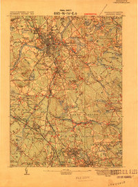 1918 Lawrence1918 Print · USGSGreater Lawrence and the Merrimac Valley are captured here during the late First World War era, showing a landscape defined by industrial rail and historic village centers. Researchers can trace the sprawling Boston and Maine Railroad network to specific sites like the State Almshouse or the Andover Theological Seminary.2 unique versions available
 - 1921 Map of Lowell
 1921 Lowell1921 Print · USGSThe industrial corridor of the Merrimack Valley is captured here during the early twentieth century, showing the dense urban grid of Lowell alongside rural Middlesex County. Researchers can trace the extensive reach of the Boston and Maine Railroad and locate local landmarks like the Poor Farm or Flat Rock Quarry.
 - 1931 Map of Lowell
 1931 Lowell1931 Print · USGSSouthern New Hampshire and northern Massachusetts met along the river and rail lines in the early thirties. Local researchers can trace family lands near St Marie Convent, the site of Musquash Sch, and the heights of Jeremy Hill.
 - 1935 Map of Lowell
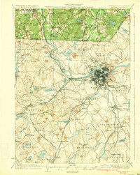 1935 Lowell1935 Print · USGSGreater Lowell and the Merrimack Valley are captured in the mid-1930s, showing a region defined by its industrial riverfront and extensive rail networks. Researchers can trace historic neighborhoods like Wamesit, local landmarks like St Marie Convent, and early industry at Flat Rock Quarry.3 unique versions available
 - 1935 Map of Haverhill
 1935 Haverhill1935 Print · USGSThe borderlands of New Hampshire and Massachusetts appear here in the mid-1930s, showing a landscape defined by the Merrimack River and a dense rail network. Genealogists can trace family landmarks like Philbrick Hill or locate old schoolhouses including South Road Sch and the Depot Sch.5 unique versions available
 - 1941 Map of Manchester
 1941 Manchester1941 Print · USGSSouthern New Hampshire is captured here just before the mid-century boom, showing the river-and-rail corridor between Manchester and Nashua. Researchers can trace old ferry sites like Thorntons Ferry and find vanished rural landmarks like Londonderry Lithia Spring or the Musquash School.3 unique versions available
 - 1941 Map of Lowell
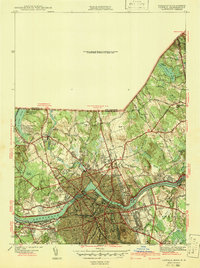 1941 Lowell1941 Print · USGSThe industrial hub of Lowell and the surrounding Middlesex County landscape are captured here just before the Second World War. Researchers can trace historic family burial sites like Oak Grove Cem or locate early civic landmarks including the Lowell Textile Institute and Nickel Mine.2 unique versions available
 - 1943 Map of Lowell
 1943 Lowell1943 Print · USGSCentral New England industrial hubs and rural borderlands are mapped here during the early 1940s. Genealogists can trace family names across Mt Misery, Barrett Hill, and small settlements like Collinsville or North Pelham.
 - 1943 Map of Ayers Village
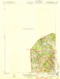 1943 Ayers Village1943 Print · USGSThe Massachusetts-New Hampshire borderlands are captured here during the Second World War as the suburbs of Haverhill expanded. Genealogists and local historians can trace family-named sites like Grosvenor Corner, Tozier Corner, and the West Parish Ch.2 unique versions available
 - 1944 Map of Lawrence
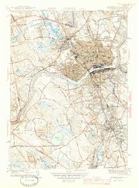 1944 Lawrence1944 Print · USGSMid-century Lawrence and Andover center this survey of the Merrimack Valley during a period of industrial and academic growth. Genealogists can trace family sites from the Bellevue Cemetery to Phillips Academy and the vanished Town Infirmary.4 unique versions available
 - 1946 Map of Lowell
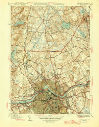 1946 Lowell1946 Print · USGSPost-war Lowell and its New Hampshire borderlands are captured here during a period of transition for the Merrimack Valley's industrial and rural sectors. Researchers can trace the layout of the Lowell Textile Institute or locate family plots at Gibson Cem and Gumpas Cem.2 unique versions available
 - 1948 Map of Boston
 1948 Boston1948 Print · USGSEastern Massachusetts and southern New Hampshire appear at an industrial peak in the late 1940s, just as suburban growth began to accelerate. Genealogists and historians can trace rail lines like the Boston and Albany RR or locate coastal landmarks like Graves Lighthouse and Fort Devens.2 unique versions available
 - 1950 Map of Lowell, 1953 Print
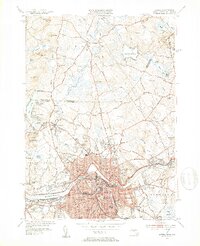 1950 Lowell1953 Print · USGSMid-century Lowell is a bustling center of industry and education at the bend of the Merrimack River. Researchers can trace the era's infrastructure from the Pawtucket Dam to institutions like Keith Academy and the Lowell Textile Institute.4 unique versions available
 - 1952 Map of Ayers Village, 1953 Print
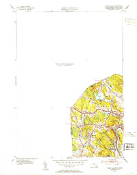 1952 Ayers Village1953 Print · USGSThe borderlands of Rockingham County and Essex County come into focus in the early fifties as the region's post-war identity took shape. Genealogists and researchers can trace family-named corners and community landmarks like Ayers Village, Tozier Corner, and the Howe Sch.
 - 1953 Map of Windham, 1956 Print
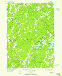 1953 Windham1956 Print · USGSSoutheastern New Hampshire was still largely rural in the mid-1950s as small communities centered around the rails and lakes. Genealogists and local historians can trace family locations near Cobbetts Pond or find landmarks like Windham Depot and the Searles Sch.5 unique versions available
Showing maps 1-25 of 64
Top cities near Salem
- Manchester historical maps
- Lowell historical maps
- Nashua historical maps
- Lawrence historical maps
- Haverhill historical maps
- Peabody historical maps
See more
Top neighborhoods of Salem
- Pine Grove Park historical maps
- Salem Depot historical maps
- Arlington Park historical maps
- Foster Corners historical maps
- Millville historical maps
- North Salem historical maps
See more
Frequently asked questions
- What are the different types of historical maps available for Salem?
- What is the oldest map of Salem?
- Where can I purchase historical maps of Salem for my home or office?
- Where can I download high-res historical maps of Salem?
- Are there historical topographic maps available for Salem?
- Is there historical aerial imagery available for Salem?
- Where are historical maps of Salem sourced from?