Old Maps of Sawyers, Dover
Explore 17 old maps of Sawyers, spanning from 1893 to today. These high-resolution historic maps reveal how streets, neighborhoods, landmarks, and natural features evolved over time — perfect for genealogy, metal detecting, research, and local history exploration.
What you can do with these maps:
- See how Sawyers changed over time: Compare historical maps to modern-day views to trace roads, homesites, rail lines & more.
- View detailed metadata: Each map includes creators, publishers, year, scale, and archive source.
- Overlay maps with satellite & LiDAR: Visualize the past alongside modern tools to explore terrain & human change.
- Trusted historical sources: Maps sourced from the USGS, Library of Congress, and other archives.
- Access maps your way: View online, download high-res files, or order prints for personal or research use.
Start exploring old maps of Sawyers to uncover forgotten places, hidden landmarks, and the deep history beneath your feet.
Sawyers, Dover maps
(17)- 1893 Map of Dover
 1893 Dover1893 Print · USGSThe Maine and New Hampshire borderlands come alive in this late nineteenth-century survey of the Seacoast and Piscataqua River regions. Genealogists and historians can trace defunct rail stops like Barrington Station and South Newmarket Junction or locate the industrial Great Works mill.5 unique versions available
 - 1916 Map of Dover
 1916 Dover1916 Print · USGSCoastal New Hampshire and the Maine borderlands are captured here during the height of the rail era. Genealogists can locate dozens of district schools like Madbury School and trace the paths of the Boston and Maine Railroad through Portsmouth and Dover.2 unique versions available
 - 1918 Map of Dover
 1918 Dover1918 Print · USGSCoastal New Hampshire and the Maine borderlands are captured here during the First World War era, showing a landscape defined by tidal rivers and rail networks. Genealogists can trace family landmarks and early civic life through the State College in Durham, the Kittery Depot, and local schoolhouses like Marshwood.6 unique versions available
 - 1941 Map of Dover
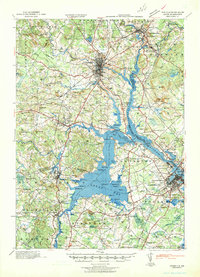 1941 Dover1941 Print · USGSCoastal New Hampshire and the Maine borderlands are captured here just before the mobilization of the early 1940s. Genealogists can trace family lands near Garrison Hill, old district schools like Witchtrot Sch, and the rail depots at Greenland Village Sta.
 - 1949 Map of Portland
 1949 Portland1949 Print · USGSCoastal Maine and the New Hampshire interior are shown in detail during the late forties, from the bustling harbors to the lakeside villages. Researchers can trace historical rail networks like the Boston & Maine RR and locate coastal defenses such as Fort Preble.3 unique versions available
 - 1952 Map of Dover West
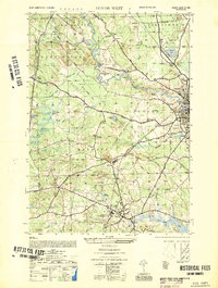 1952 Dover West1952 Print · USGSCoastal New Hampshire's interior during the early 1950s shows a landscape of small townships and rail-connected farms before major highway expansion. Researchers can trace the mid-century footprint of the University of New Hampshire, local landmarks like the Madbury Church, and the route of the Maine Central RR.
 - 1956 Map of Dover West, 1958 Print
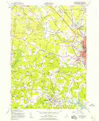 1956 Dover West1958 Print · USGSThe townships of Durham, Madbury, and Barrington are captured in the mid-1950s as the Spaulding Turnpike was still under construction. Genealogists can trace family plots like Layne Cem and Torr Cem, or locate the historic Green Hill Chapel and the early layout of the University of New Hampshire.9 unique versions available
 - 1956 Map of Dover, 1960 Print
 1956 Dover1960 Print · USGSCoastal New Hampshire and the Maine borderlands are captured here during a period of massive transition as modern infrastructure meets historic mill towns. Researchers can trace the development of Pease Air Force Base or locate family roots at Winnicut Mills and Packers Falls Cem.4 unique versions available
 - 1956 Map of Portland, 1963 Print
 1956 Portland1963 Print · USGSSouthern Maine and eastern New Hampshire are captured here in the mid-fifties, during a time of major highway expansion and military growth. You can trace the path of the Maine Turnpike and locate landmarks like the Portsmouth Naval Shipyard and Sebago Lake.4 unique versions available
 - 1959 Map of Portland
 1959 Portland1959 Print · USGSThe Maine and New Hampshire coastlines meet in this mid-century portrait of maritime commerce and inland rail networks. Researchers can trace the legacy of coastal defense at Fort Williams and follow the historic path of the Maine Central RR through the White Mountain National Forest.2 unique versions available
 - 1963 Map of Portland
 1963 Portland1963 Print · USGSCoastal Maine and New Hampshire thrived as maritime and industrial hubs during the mid-sixties, linked by a dense network of rail and river. Researchers can trace historic transit corridors like the Maine Central RR and locate key sites such as the Portsmouth Naval Shipyard or Pease Air Force Base.3 unique versions available
 - 1985 Map of Kittery, 1986 Print
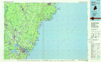 1985 Kittery1986 Print · USGSThe Maine and New Hampshire borderlands are shown here in the mid-eighties, centered on the strategic Piscataqua River harbor. Genealogists and historians can trace the development of coastal towns like York or locate the sprawling Portsmouth Naval Shipyard and Pease Air Force Base.2 unique versions available
 - 2012 Map of Dover West, 2012 Print
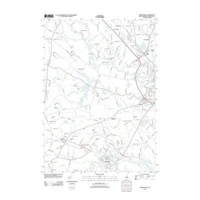 2012 Dover West2012 Print · USGSThe Strafford County landscape in 2012 shows the established university grounds at Durham alongside older rural settlements. Genealogists can trace numerous family burial sites like Hussy Cem and Demeritt Cem or locate former landmarks like McIntosh College.
 - 2015 Map of Dover West, 2015 Print
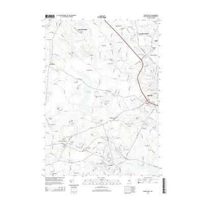 2015 Dover West2015 Print · USGSThe Strafford County corridor thrives along the Cocheco River and Bellamy River in this modern survey. Researchers can locate family roots at Saint Charles Cem or explore the extensive grounds of the Univ of New Hampshire-Main Campus.
 - 2018 Map of Dover West, 2018 Print
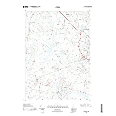 2018 Dover West2018 Print · USGSThe Strafford County corridor between Dover and Rochester is shown in detail during the late 2010s. Researchers can trace academic and civic history at the UNH Campus or locate ancestral sites like Old Parish Cem and Demerritt Cem.
 - 2021 Map of Dover West, 2021 Print
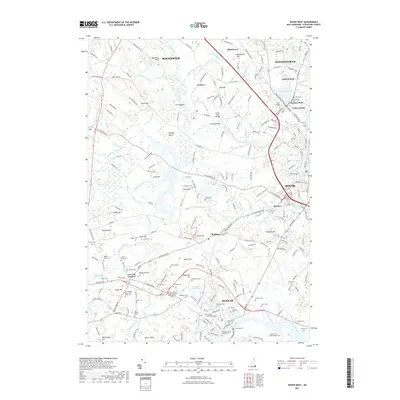 2021 Dover West2021 Print · USGSDover and Durham are shown in great detail during the early 2020s, highlighting the expansion of the University of New Hampshire campus. Researchers can locate numerous family burial sites such as the Chesley Cem and Hoitt Cem, alongside the historic B & M RR line.
 - 2024 Map of Dover West, 2024 Print
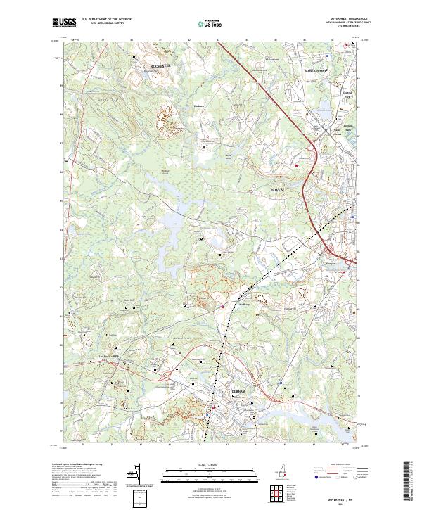 2024 Dover West2024 Print · USGSCoastal New Hampshire's academic and historic heart is centered here in the early twenty-first century. Researchers can trace decades of local history through sites like the Oyster River Burial Ground, Old Parish Cem, and the sprawling University of New Hampshire campus.
End of results
Showing maps 1-17 of 17
Frequently asked questions
- What are the different types of historical maps available for Sawyers?
- What is the oldest map of Sawyers?
- Where can I purchase historical maps of Sawyers for my home or office?
- Where can I download high-res historical maps of Sawyers?
- Are there historical topographic maps available for Sawyers?
- Is there historical aerial imagery available for Sawyers?
- Where are historical maps of Sawyers sourced from?