2020s Maps of New Portsmouth, Middleton
Explore 2 historic maps of New Portsmouth from the 2020s. These maps offer a rare glimpse into what life looked like during the 2020s — showing old roads, neighborhoods, homes, and landmarks that have changed or disappeared over time.
Whether you're researching your family's past, planning a metal detecting trip, or studying how New Portsmouth's landscape evolved across the 2020s, these high-resolution maps are a powerful tool for exploring the history of this region.
- Focus on a specific era: All maps on this page are from the 2020s, giving you a focused view of this time period.
- See what’s changed: Compare century-old streets, trails, and buildings to today's modern landscape using overlays and satellite layers.
- Research with precision: Use these maps for genealogy, historical research, land use analysis, or educational projects.
- View, download, or print: Maps are fully viewable online in high resolution, and can be downloaded or printed for your own records.
Start exploring New Portsmouth's history through authentic maps from the 2020s. This is your window into the past.
New Portsmouth, Middleton maps
(2)- 2021 Map of Sanbornville, 2021 Print
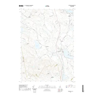 2021 Sanbornville2021 Print · USGSCovers New Portsmouth, including Wakefield, Milton, and other nearby areas
 - 2024 Map of Sanbornville, 2024 Print
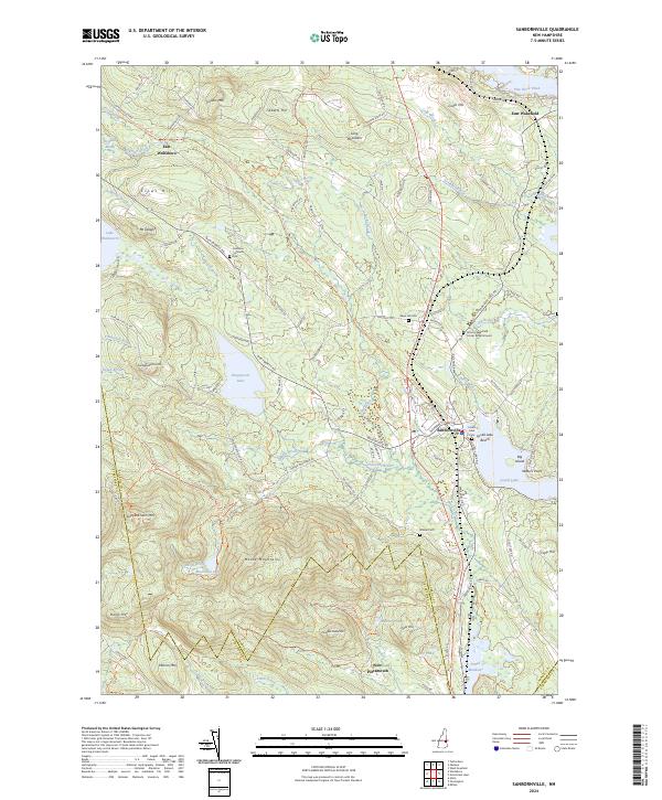 2024 Sanbornville2024 Print · USGSCarroll County's lakes and highlands are documented in this recent survey, showcasing the enduring settlement patterns around Sanbornville. Researchers can trace old family cemetery sites like Gage Hill Cem and the former rail path of the Inactive RR Trl.
End of results
Showing maps 1-2 of 2
Top cities near New Portsmouth
- Rochester historical maps
- Sanford historical maps
- Somersworth historical maps
- Barrington historical maps
- Berwick historical maps
- Farmington historical maps
See more
Frequently asked questions
- What are the different types of historical maps available for New Portsmouth?
- What is the oldest map of New Portsmouth?
- Where can I purchase historical maps of New Portsmouth for my home or office?
- Where can I download high-res historical maps of New Portsmouth?
- Are there historical topographic maps available for New Portsmouth?
- Is there historical aerial imagery available for New Portsmouth?
- Where are historical maps of New Portsmouth sourced from?