2000s (21st Century) Maps of Hammonton, New Jersey
Explore 15 historic maps of Hammonton from the 2000s (21st Century). These maps offer a rare glimpse into what life looked like during the 2000s — showing old roads, neighborhoods, homes, and landmarks that have changed or disappeared over time.
Whether you're researching your family's past, planning a metal detecting trip, or studying how Hammonton's landscape evolved across the 2000s, these high-resolution maps are a powerful tool for exploring the history of this region.
- Focus on a specific era: All maps on this page are from the 2000s, giving you a focused view of this time period.
- See what’s changed: Compare century-old streets, trails, and buildings to today's modern landscape using overlays and satellite layers.
- Research with precision: Use these maps for genealogy, historical research, land use analysis, or educational projects.
- View, download, or print: Maps are fully viewable online in high resolution, and can be downloaded or printed for your own records.
Start exploring Hammonton's history through authentic maps from the 2000s. This is your window into the past.
Hammonton, NJ maps
(15)- 2011 Map of Hammonton, 2011 Print
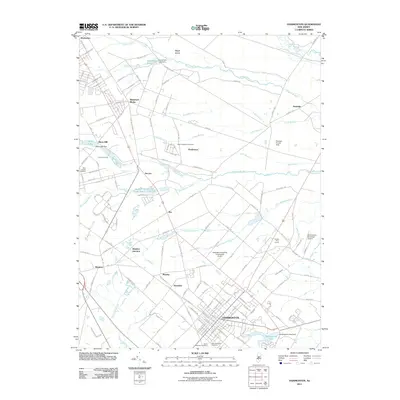 2011 Hammonton2011 Print · USGSAtlantic and Camden counties come into focus during this early 21st-century survey, centered on the bustling township of Hammonton. Researchers can trace old rail connections at Winslow Junction or locate family plots in Saint Anthonys Cemetery and Blue Anchor Cemetery.
 - 2011 Map of Atsion, 2011 Print
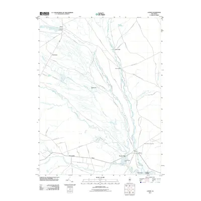 2011 Atsion2011 Print · USGSThe Pinelands at the start of the twenty-first century reveal a landscape deeply tied to its river systems and historic crossings. Local historians can trace the foundations of old industry and settlement at Pleasant Mills, Atsion, and Quaker Bridge.
 - 2011 Map of Newtonville, 2011 Print
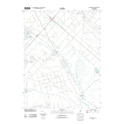 2011 Newtonville2011 Print · USGSNewtonville and the surrounding New Jersey pine forests appear in detail during the early twenty-first century. Researchers can trace the legacy of early industry and local travel through features like Pancoast Mill Pond, the Folsom Airport, and Newtonville Cemetery.
 - 2014 Map of Hammonton, 2014 Print
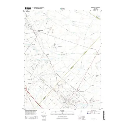 2014 Hammonton2014 Print · USGSHammonton and the surrounding townships are captured in detail during the early twenty-first century as suburban growth meets the Pinelands. Researchers can trace family roots at Oak Grove Cem or Blue Anchor Cem and locate historic hubs like Winslow Junction.
 - 2014 Map of Atsion, 2014 Print
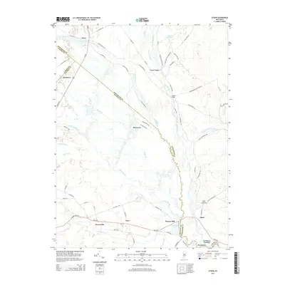 2014 Atsion2014 Print · USGSSouthern New Jersey's pine forests and river systems are shown here as they appeared in 2014. Researchers can trace the legacy of early industry and transport through sites like Lower Forge, Quaker Bridge, and the Batsto Forestry Lookout Tower.
 - 2014 Map of Newtonville, 2014 Print
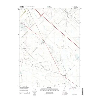 2014 Newtonville2014 Print · USGSAtlantic and Camden Counties meet along the Great Egg Harbor River in this 2014 survey of the New Jersey Pine Barrens. Genealogists and local historians can trace the settlement at Newtonville, locate the Newtonville Cem, and find old mill sites near Pancoast Mill Pond.
 - 2016 Map of Newtonville, 2016 Print
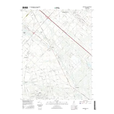 2016 Newtonville2016 Print · USGSThe Atlantic County pinelands come into focus in the mid-2010s, showing a landscape defined by cedar swamps and residential crossroads. Researchers can trace historical footprints at the Newtonville Cem, the site of Pancoast Mill Pond, and the curiously named Gigantic City.
 - 2016 Map of Hammonton, 2016 Print
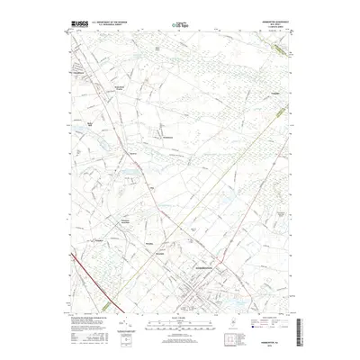 2016 Hammonton2016 Print · USGSThe South Jersey Pine Barrens meet established townships in this mid-2010s survey of Camden and Atlantic Counties. Researchers can locate family heritage sites at Holy Sepulcher Cem and trace the rail history surrounding Winslow Junction and Waterford Works.
 - 2016 Map of Atsion, 2016 Print
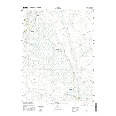 2016 Atsion2016 Print · USGSThe Pine Barrens' heart comes alive in this study of the early twenty-first century, centered on the historic Mullica River corridor. Researchers can trace the layout of Batsto, the roads leading to Atsion, and remote sites like Quaker Bridge and Lower Forge.
 - 2019 Map of Atsion, 2019 Print
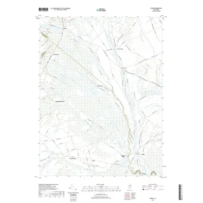 2019 Atsion2019 Print · USGSThe Pine Barrens of the New Jersey interior are captured here in the late 2010s, showing a landscape defined by its river systems and historic iron and glass-making sites. Researchers can trace the pathways connecting Batsto, Atsion, and Quaker Bridge through the extensive Great Swamp.
 - 2019 Map of Hammonton, 2019 Print
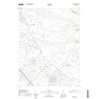 2019 Hammonton2019 Print · USGSHammonton and the surrounding Pine Barrens outskirts are captured here during a period of modern growth and preserved heritage. Genealogists and local historians can trace family locations near Winslow Junction, Bates Mill, or several burial grounds like Holy Sepulchre Cem.
 - 2019 Map of Newtonville, 2019 Print
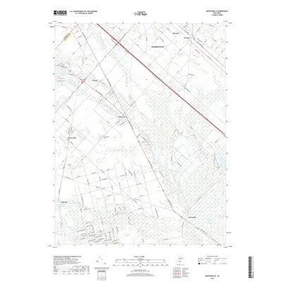 2019 Newtonville2019 Print · USGSNewtonville and the surrounding New Jersey pine barrens are shown here in modern detail near the turn of the decade. Genealogists and local historians can trace the borders of Camden County and explore sites like the Newtonville Cem, Pancoast Mill Pond, and Penny Pot.
 - 2023 Map of Hammonton, 2023 Print
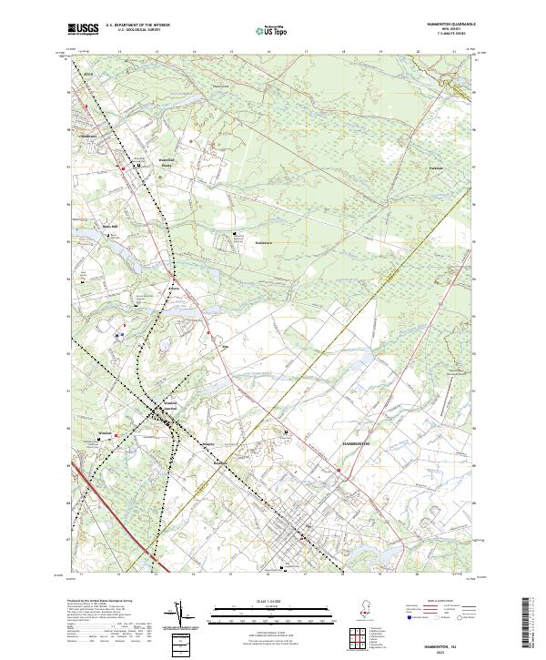 2023 Hammonton2023 Print · USGSHammonton and the surrounding Pinelands are captured here in the early twenty-first century, showing the intersection of local industry and quiet woodlands. Researchers can locate numerous historic burial grounds like Blue Anchor Cem and family landmarks near Winslow Junction or Waterford Works.
 - 2023 Map of Newtonville, 2023 Print
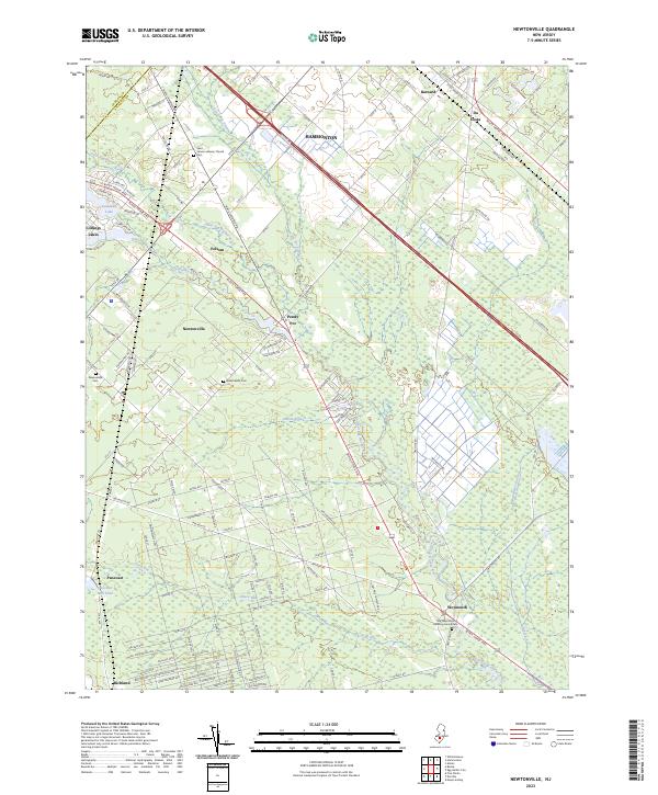 2023 Newtonville2023 Print · USGSAtlantic County at the start of the 2020s shows a landscape where historic Pine Barrens settlements meet modern transit corridors. Researchers can trace the heritage of local communities through the Old Weymouth Meeting House Cem, the waters of Pancoast Mill Pond, and the residential layout of Newtonville.
 - 2023 Map of Atsion, 2023 Print
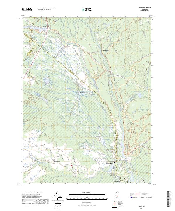 2023 Atsion2023 Print · USGSThe Pine Barrens of Burlington and Atlantic counties are shown here as they appeared recently, centered on the historic river confluences. Researchers can locate burial sites and small settlements including the Joseph Mulliner Gravesite, The Batsto Pleasant Mills Cem, and Atsion.
End of results
Showing maps 1-15 of 15
Top cities near Hammonton
- Philadelphia historical maps
- Cherry Hill Township historical maps
- Vineland historical maps
- Sicklerville historical maps
- Egg Harbor Township historical maps
- Winslow Township historical maps
See more
Top neighborhoods of Hammonton
- Rosedale historical maps
- Da Costa historical maps
- Barnard historical maps
- Dutchtown historical maps
- Royce Run historical maps
Frequently asked questions
- What are the different types of historical maps available for Hammonton?
- What is the oldest map of Hammonton?
- Where can I purchase historical maps of Hammonton for my home or office?
- Where can I download high-res historical maps of Hammonton?
- Are there historical topographic maps available for Hammonton?
- Is there historical aerial imagery available for Hammonton?
- Where are historical maps of Hammonton sourced from?