Old Maps of Avalon Manor, Middle Township for Genealogy
Trace your family roots with 19 historic maps of Avalon Manor. These high-res maps reveal old neighborhoods, homesites, landmarks, and streets — helping you uncover where your ancestors lived and how the area evolved over time.
- Explore historic neighborhoods: Identify where your relatives may have lived in the 1800s or 1900s.
- Compare maps over time: Trace the changes in streets, buildings, and landmarks for multi-generational research.
- Perfect for genealogy & ancestry research: Used by family historians and researchers to map out lineage and migration.
These maps are an incredible resource for exploring your personal connection to Avalon Manor's past.
Avalon Manor, Middle Township maps
(19)- 1884 Map of Sea Isle
 1884 Sea Isle1884 Print · USGSThe Jersey Shore emerges as a Victorian-era destination in this late nineteenth-century survey of the Cape May coast. Trace the early rail lines of the West Jersey Railroad and locate maritime landmarks like L.S. Station Sea Isle City and Corson's Inlet.
 - 1888 Map of Sea Isle
 1888 Sea Isle1888 Print · USGSCoastal Cape May County emerges in the 1880s as railroads began to bridge the marshes. Trace the early development of Sea Isle City and the locations of maritime safety outposts like L. S. Station Townsend's Inlet and L. S. Station Tatham's.
 - 1894 Map of Sea Isle
 1894 Sea Isle1894 Print · USGSThe Cape May coast at the end of the nineteenth century reveals a landscape of complex tidal thorofares and early seaside resorts. Trace the path of the West Jersey Railroad and find early maritime landmarks like L.S. Station Corson Inlet.6 unique versions available
 - 1919 Map of Sea Isle, 1921 Print
 1919 Sea Isle1921 Print · USGSCoastal Cape May at the end of the Great War reveals a landscape of tidal thoroughfares and early rail-connected resorts. Researchers can trace the tracks of the Penna. R.R. through Ocean View or locate old shore landmarks like L.S.S. Corson Inlet.
 - 1941 Map of Sea Isle City
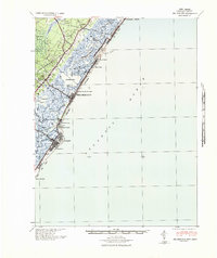 1941 Sea Isle City1941 Print · USGSCoastal Cape May County is captured here in the early days of the Second World War, showing the delicate balance of tidal marshes and growing seaside resorts. Genealogists and historians can trace rail lines to Sea Isle City or locate landmarks like the Ludlam Beach Light and the community of Strathmere.
 - 1946 Map of Wilmington, 1948 Print
 1946 Wilmington1948 Print · USGSThe Delaware Valley and Jersey Shore emerge in this mid-century portrait of a region defined by river commerce and seaside growth. Genealogists and historians can trace the rail networks of the Pennsylvania Railroad, locate early airfields like Dover Airpark, and find river defenses at Fort Delaware.2 unique versions available
 - 1953 Map of Avalon, 1957 Print
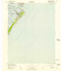 1953 Avalon1957 Print · USGSThe Jersey Shore communities of Avalon and Stone Harbor appear in the early fifties, just as the postwar coastal boom was taking hold. Researchers can trace the development of Seven Mile Beach, identifying local landmarks like the Avalon Yacht Club, the original Boardwalk, and the harbors along the Intracoastal Waterway.4 unique versions available
 - 1955 Map of Wilmington
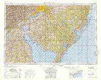 1955 Wilmington1955 Print · USGSThe Delaware Valley and Jersey Shore are seen here during the mid-fifties era of rapid suburban expansion and highway development. You can trace the path of the New Jersey Turnpike, locate the Fort Dix Military Reservation, or explore the rail networks of the Pennsylvania Railroad.
 - 1957 Map of Wilmington
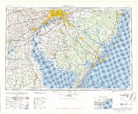 1957 Wilmington1957 Print · USGSThe mid-Atlantic coastal plain comes alive in the mid-fifties as the New Jersey Turnpike and Garden State Parkway redefine travel. Researchers can trace the rail-to-road transition and find landmarks like Ship John Shoal Light and the Fort Dix Military Reservation.2 unique versions available
 - 1959 Map of Wilmington
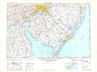 1959 Wilmington1959 Print · USGSThe Delaware Valley and Jersey Shore are seen here in the late fifties, during a period of massive suburban and highway expansion. Researchers can trace mid-century infrastructure like the N J Turnpike or locate coastal landmarks from Barnegat Bay to the Maurice River.3 unique versions available
 - 1966 Map of Wilmington, 1968 Print
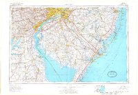 1966 Wilmington1968 Print · USGSThe Delaware Valley and Jersey Shore are seen here in the mid-1960s, documenting a landscape of dense industrial cities and emerging coastal resorts. Researchers can trace the sprawling rail networks of the Pennsylvania Railroad or locate landmarks like Fort Dix Military Reservation and Elk Neck State Park.4 unique versions available
 - 1972 Map of Wilmington, 1976 Print
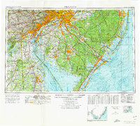 1972 Wilmington1976 Print · USGSThe Delaware Valley and Jersey Shore are seen here in the 1970s, showcasing the region's dense transport networks and vast state forests. Trace early coastal development near Atlantic City or locate rural landmarks like Mount Holly and Dover Air Force Base.2 unique versions available
 - 1984 Map of Atlantic City, 1985 Print
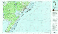 1984 Atlantic City1985 Print · USGSThe Jersey Shore and Pine Barrens are captured here in the mid-eighties, showing the coastal transition from salt marsh to forest. Genealogists and historians can trace family locations from Estell Manor to North Wildwood or explore the vast bounds of the Belleplain State Forest.
 - 1994 Map of Avalon, 1998 Print
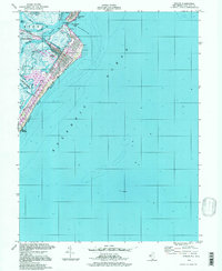 1994 Avalon1998 Print · USGSThe Jersey Shore of the 1990s comes alive in this detailed record of Avalon and the northern tip of Stone Harbor. Local historians and boaters can trace the development of Seven Mile Beach, from the Boardwalk to the man-made inlets of Princeton Harbor.
 - 2011 Map of Avalon, 2011 Print
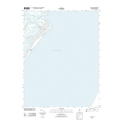 2011 Avalon2011 Print · USGSCape May County's northern barrier islands are shown in detail during the early 21st century. Researchers can trace the development of Avalon along Seven Mile Beach and the intricate channels of the Intracoastal Waterway and Ingram Thorofare.
 - 2014 Map of Avalon, 2014 Print
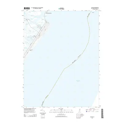 2014 Avalon2014 Print · USGSThe Jersey Shore's barrier island geography is on full display here in the early twenty-first century. Property researchers and local historians can trace the street grids of Avalon and Townsends Inlet alongside landmarks like Seven Mile Beach and Princeton Harbor.
 - 2016 Map of Avalon, 2016 Print
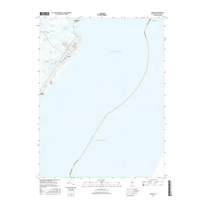 2016 Avalon2016 Print · USGSThe Jersey Shore communities of Avalon and Stone Harbor are shown in high detail during the 2010s, illustrating the modern layout of this barrier island. Trace the street-level development along Seven Mile Beach and the tidal channels of Ingram Thorofare and Townsends Inlet.
 - 2019 Map of Avalon, 2019 Print
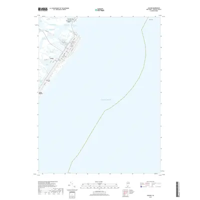 2019 Avalon2019 Print · USGSThe Jersey Shore appears in high detail in the late 2010s, showcasing the barrier island communities and complex tidal estuaries of Cape May County. Researchers can trace the developed coastlines of Avalon and Sea Isle City or navigate the back bays of Pennsylvania Harbor and Townsends Inlet.
 - 2023 Map of Avalon, 2023 Print
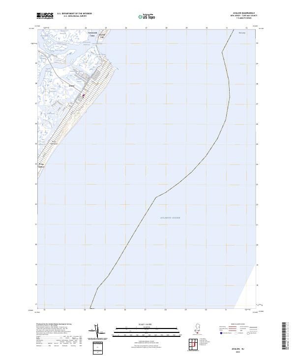 2023 Avalon2023 Print · USGSThe Jersey Shore of the early 2020s is captured here, showing the developed barrier islands and tidal marshes of Cape May County. Researchers can trace the street grids of Avalon and Stone Harbor or navigate the channels of Stites Sound and Cornell Harbor.
End of results
Showing maps 1-19 of 19
Frequently asked questions
- What are the different types of historical maps available for Avalon Manor?
- What is the oldest map of Avalon Manor?
- Where can I purchase historical maps of Avalon Manor for my home or office?
- Where can I download high-res historical maps of Avalon Manor?
- Are there historical topographic maps available for Avalon Manor?
- Is there historical aerial imagery available for Avalon Manor?
- Where are historical maps of Avalon Manor sourced from?