Old Maps of Woodbine, New Jersey for Academic Research
Study the evolution of Woodbine with 28 high-resolution historic maps. Whether you're teaching, researching, or modeling changes in land use, these maps provide essential visual documentation of urban, environmental, and geographic change.
- Analyze long-term change: Track patterns in development, transportation, and natural features.
- Ideal for environmental or urban studies: Support academic projects with primary historical map data.
- Use in the classroom or lab: Educators and researchers rely on these maps to bring historical context to life.
These maps are a powerful tool for teaching, research, and visualizing how Woodbine has changed over the decades.
Woodbine, NJ maps
(28)- 1888 Map of Dennisville
 1888 Dennisville1888 Print · USGSCoastal Cape May County thrived in the late nineteenth century as a network of rail lines and tide-water landings. Genealogists can trace family names and vanished settlements from Cape May Court House to the West Jersey Railroad depots at Swain Station and Burleigh.
 - 1890 Map of Tuckahoe
 1890 Tuckahoe1890 Print · USGSCoastal New Jersey in the 1890s shows a landscape of riverfront villages and early industrial sites connected by new rails. Genealogists can trace family roots through riverside settlements like Mauricetown or locate historic industry at Old Etna Furnace and Monroe Forge.
 - 1893 Map of Tuckahoe
 1893 Tuckahoe1893 Print · USGSSouthern New Jersey is documented here during the late nineteenth century as the industrial focus shifted from iron forges to the railroad. Genealogists can trace family connections in Port Elizabeth, Tuckahoe, and Mauricetown, or locate historic industrial sites like Old Etna Furnace and Bennett Mill.4 unique versions available
 - 1894 Map of Dennisville
 1894 Dennisville1894 Print · USGSCape May County's maritime and rail landscape is captured here in the late nineteenth century before the modern development of the shore. Genealogists and historians can trace old family settlements and landings like Nummytown, Goshen Landing, and Heislerville.4 unique versions available
 - 1918 Map of Tuckahoe, 1921 Print
 1918 Tuckahoe1921 Print · USGSSouthern New Jersey’s pine barrens and river valleys are captured here during a period of transition between early industry and railroad expansion. Genealogists and researchers can trace the locations of Walker's Forge, the West Jersey Railroad, and forgotten milling sites like Bennett Mill.
 - 1919 Map of Dennisville, 1921 Print
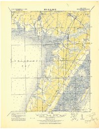 1919 Dennisville1921 Print · USGSCape May County's southern peninsula is documented here during the height of the coastal rail era, before modern development reshaped the shoreline. Genealogists and historians can trace the foundations of local commerce through sites like Bidwell Town Mill, Goshen Landing, and the many family-named stops along the Philadelphia & Reading R.R.
 - 1941 Map of Dennisville
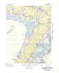 1941 Dennisville1941 Print · USGSCape May County's interior and coastal marshes are captured here in the early 1940s, from the bay-side landings to the Atlantic sounds. Trace the rail corridors of the Pennsylvania-Reading Seashore Lines through Dennisville and locate the State Prison Farm.2 unique versions available
 - 1941 Map of Tuckahoe
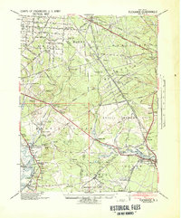 1941 Tuckahoe1941 Print · USGSCoastal New Jersey at the start of the 1940s reveals a landscape defined by sand mining and a dense network of steam and electric rail. Genealogists and historians can trace the paths of the Pennsylvania Reading Seashore Lines through rural stops like Port Elizabeth, Mizpah, and Walkers Forge.
 - 1946 Map of Wilmington, 1948 Print
 1946 Wilmington1948 Print · USGSThe Delaware Valley and Jersey Shore emerge in this mid-century portrait of a region defined by river commerce and seaside growth. Genealogists and historians can trace the rail networks of the Pennsylvania Railroad, locate early airfields like Dover Airpark, and find river defenses at Fort Delaware.2 unique versions available
 - 1955 Map of Wilmington
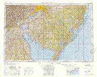 1955 Wilmington1955 Print · USGSThe Delaware Valley and Jersey Shore are seen here during the mid-fifties era of rapid suburban expansion and highway development. You can trace the path of the New Jersey Turnpike, locate the Fort Dix Military Reservation, or explore the rail networks of the Pennsylvania Railroad.
 - 1956 Map of Tuckahoe, 1957 Print
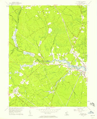 1956 Tuckahoe1957 Print · USGSThe coastal plains and river valleys of Cape May and Atlantic counties are captured here in the mid-fifties. Researchers can trace the legacy of family settlements and rural life at Steelmantown, Marshallville, and the Pennsylvania-Reading Seashore Lines.5 unique versions available
 - 1957 Map of Wilmington
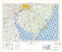 1957 Wilmington1957 Print · USGSThe mid-Atlantic coastal plain comes alive in the mid-fifties as the New Jersey Turnpike and Garden State Parkway redefine travel. Researchers can trace the rail-to-road transition and find landmarks like Ship John Shoal Light and the Fort Dix Military Reservation.2 unique versions available
 - 1958 Map of Woodbine, 1959 Print
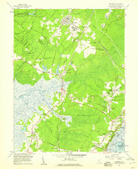 1958 Woodbine1959 Print · USGSCape May County in the late fifties remains a landscape of dense wetlands and small rural hamlets connected by the Pennsylvania-Reading Seashore Lines. Trace the footprints of local history at Tiffereth Israel Cem, Ludlams Sch, and the State Colony.3 unique versions available
 - 1959 Map of Wilmington
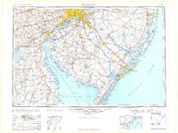 1959 Wilmington1959 Print · USGSThe Delaware Valley and Jersey Shore are seen here in the late fifties, during a period of massive suburban and highway expansion. Researchers can trace mid-century infrastructure like the N J Turnpike or locate coastal landmarks from Barnegat Bay to the Maurice River.3 unique versions available
 - 1966 Map of Wilmington, 1968 Print
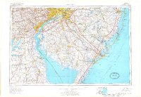 1966 Wilmington1968 Print · USGSThe Delaware Valley and Jersey Shore are seen here in the mid-1960s, documenting a landscape of dense industrial cities and emerging coastal resorts. Researchers can trace the sprawling rail networks of the Pennsylvania Railroad or locate landmarks like Fort Dix Military Reservation and Elk Neck State Park.4 unique versions available
 - 1972 Map of Wilmington, 1976 Print
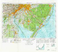 1972 Wilmington1976 Print · USGSThe Delaware Valley and Jersey Shore are seen here in the 1970s, showcasing the region's dense transport networks and vast state forests. Trace early coastal development near Atlantic City or locate rural landmarks like Mount Holly and Dover Air Force Base.2 unique versions available
 - 1984 Map of Atlantic City, 1985 Print
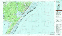 1984 Atlantic City1985 Print · USGSThe Jersey Shore and Pine Barrens are captured here in the mid-eighties, showing the coastal transition from salt marsh to forest. Genealogists and historians can trace family locations from Estell Manor to North Wildwood or explore the vast bounds of the Belleplain State Forest.
 - 1994 Map of Tuckahoe, 1998 Print
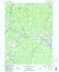 1994 Tuckahoe1998 Print · USGSSouthern New Jersey in the 1990s reveals a landscape defined by the Tuckahoe River and vast state conservation lands. Genealogists and historians can trace old community ties through locations like Steelmantown, Marshallville, and the remote Hunters Mill.
 - 2011 Map of Woodbine, 2011 Print
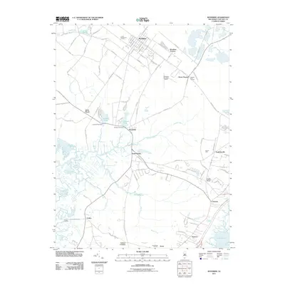 2011 Woodbine2011 Print · USGSCape May County's interior and coastal wetlands are documented here in the early twenty-first century. Researchers can trace family history through Tiffereth Israel Cemetery and locate vanished industrial markers like Johnson Pond Dam or the old Goshen Landing.
 - 2011 Map of Tuckahoe, 2011 Print
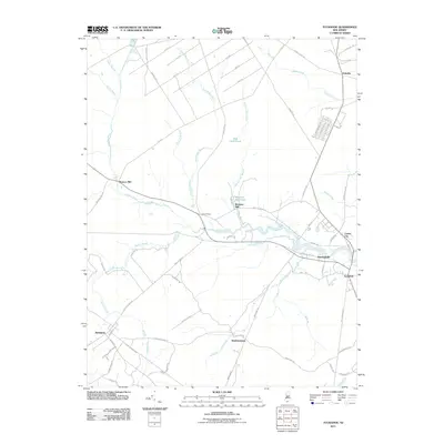 2011 Tuckahoe2011 Print · USGSCoastal New Jersey's riverine interior is documented here during the early twenty-first century, centered on the winding Tuckahoe River. Genealogists and local historians can trace family-named sites and small settlements like Steelmantown, Marshallville, and the historic Warners Mill.
 - 2014 Map of Tuckahoe, 2014 Print
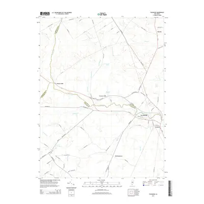 2014 Tuckahoe2014 Print · USGSSouthern New Jersey's coastal plains and river valleys come into focus in this recent survey of the tri-county border region. Genealogists and local historians can trace the roads and waterways around Marshallville, Steelmantown, and the historic banks of the Tuckahoe River.
 - 2014 Map of Woodbine, 2014 Print
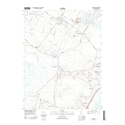 2014 Woodbine2014 Print · USGSCoastal New Jersey in the early 2010s reveals a landscape defined by tidal creeks and historic settlements between the pines and the sound. Genealogists can trace family sites at United Brotherhood Cem or explore the rail and aviation history at Woodbine Junction.
 - 2016 Map of Woodbine, 2016 Print
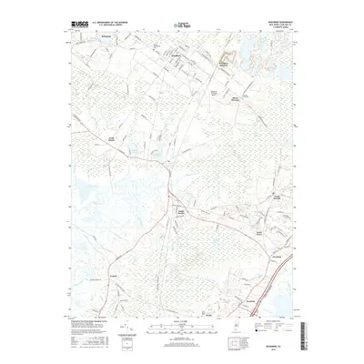 2016 Woodbine2016 Print · USGSCape May County's inland settlements and coastal wetlands are documented here in the early twenty-first century. Researchers can trace local genealogy at United Brotherhood Cem or explore the landscape between Woodbine Junction and the Great Cedar Swamp.
 - 2016 Map of Tuckahoe, 2016 Print
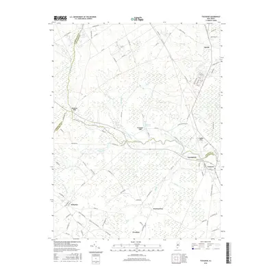 2016 Tuckahoe2016 Print · USGSThe Tuckahoe River valley and the surrounding Pine Barrens are documented here in detail during the mid-2010s. Researchers can locate the historic mill sites of Hunters Mill and Warners Mill or trace the early street layouts of Woodbine and Belleplain.
 - 2019 Map of Tuckahoe, 2019 Print
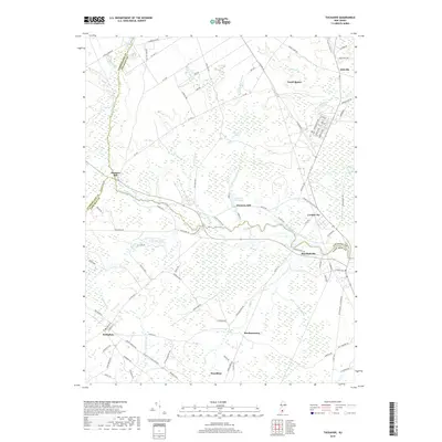 2019 Tuckahoe2019 Print · USGSSouthern New Jersey’s river-driven industrial roots are preserved here as the modern era meets historic mill sites and river towns. Genealogists and researchers can trace the development of Corbin City, the streets of Woodbine, and local landmarks like Hunters Mill and Steelmantown.
Showing maps 1-25 of 28
Top cities near Woodbine
- Vineland historical maps
- Egg Harbor Township historical maps
- Galloway Township historical maps
- Millville historical maps
- Hamilton Township historical maps
- Lower Township historical maps
See more
Top neighborhoods of Woodbine
Frequently asked questions
- What are the different types of historical maps available for Woodbine?
- What is the oldest map of Woodbine?
- Where can I purchase historical maps of Woodbine for my home or office?
- Where can I download high-res historical maps of Woodbine?
- Are there historical topographic maps available for Woodbine?
- Is there historical aerial imagery available for Woodbine?
- Where are historical maps of Woodbine sourced from?