1900s (20th Century) Maps of Mantua Township, New Jersey
Explore 24 historic maps of Mantua Township from the 1900s (20th Century). These maps offer a rare glimpse into what life looked like during the 1900s — showing old roads, neighborhoods, homes, and landmarks that have changed or disappeared over time.
Whether you're researching your family's past, planning a metal detecting trip, or studying how Mantua Township's landscape evolved across the 1900s, these high-resolution maps are a powerful tool for exploring the history of this region.
- Focus on a specific era: All maps on this page are from the 1900s, giving you a focused view of this time period.
- See what’s changed: Compare century-old streets, trails, and buildings to today's modern landscape using overlays and satellite layers.
- Research with precision: Use these maps for genealogy, historical research, land use analysis, or educational projects.
- View, download, or print: Maps are fully viewable online in high resolution, and can be downloaded or printed for your own records.
Start exploring Mantua Township's history through authentic maps from the 1900s. This is your window into the past.
Mantua Township, NJ maps
(24)- 1901 Map of Camden
 1901 Camden1901 Print · USGSThe Delaware River valley at the turn of the century shows a bustling corridor of early industrial growth and established mill towns. Researchers can trace the heritage of local industry at Sycamore Mills or locate early settlements like Penns Grove and Village Green.3 unique versions available
 - 1920 Map of Philadelphia
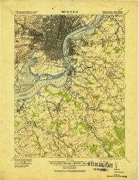 1920 Philadelphia1920 Print · USGSPhiladelphia and its New Jersey neighbors are captured here just after the Great War, showing a landscape defined by massive riverfront industry and a dense rail network. Genealogists can trace family footprints through numerous small communities and stations like Blenheim Station, Woodbury Heights, and the grounds of the Alms House.
 - 1942 Map of Camden
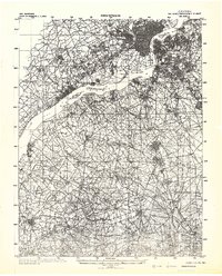 1942 Camden1942 Print · USGSThe Philadelphia and Camden metropolitan corridor is captured here at the height of the Second World War. Genealogists and historians can trace rail networks like the Reading R.R. and locate communities from Swedesboro to Merchantville.
 - 1943 Map of Philadelphia
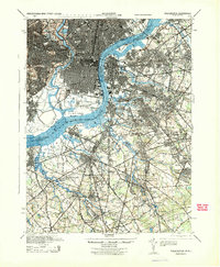 1943 Philadelphia1943 Print · USGSPhiladelphia and Camden are shown at their wartime peak, anchored by the industrial activity of the Delaware River waterfront. Genealogists and historians can trace rail-connected neighborhoods and landmarks like the U. S. Navy Yard, Fort Mifflin, and the Alms House.
 - 1946 Map of Wilmington, 1948 Print
 1946 Wilmington1948 Print · USGSThe Delaware Valley and Jersey Shore emerge in this mid-century portrait of a region defined by river commerce and seaside growth. Genealogists and historians can trace the rail networks of the Pennsylvania Railroad, locate early airfields like Dover Airpark, and find river defenses at Fort Delaware.2 unique versions available
 - 1948 Map of Glassboro
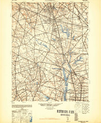 1948 Glassboro1948 Print · USGSSouth Jersey's agricultural heartland and transit corridors are captured here just after the war, showing the area's transition into a modern produce hub. Genealogists can trace family names and small settlements like Brotmanville, Husted Station, and Seabrook Farms.3 unique versions available
 - 1949 Map of Woodbury, 1954 Print
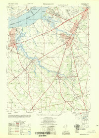 1949 Woodbury1954 Print · USGSGloucester County during the post-war era shows a landscape transitioning from the industrial riverfront of the Delaware River to growing inland communities. Researchers can trace historical sites like the Hog Island Shipyard (Abandoned), Red Bank Battlefield, and the rail corridors of the Reading Seashore Lines.2 unique versions available
 - 1951 Map of Woodbury
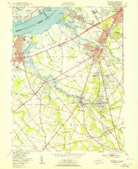 1951 Woodbury1951 Print · USGSGloucester County at the start of the fifties shows a landscape of busy rail corridors and riverfront industry. Trace the Pennsylvania-Reading Seashore Lines through Woodbury and locate the Hog Island Shipyard (Abandoned) or Fort Mifflin along the Delaware.
 - 1952 Map of Runnemede, 1954 Print
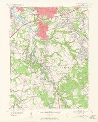 1952 Runnemede1954 Print · USGSCamden and Gloucester counties were undergoing rapid post-war growth when this survey recorded their developing suburban and industrial landscape. Researchers can pinpoint long-standing landmarks like New St Marys Cemetery, Echelon Airport, and the Pennsylvania-Reading Seashore Lines.3 unique versions available
 - 1953 Map of Pitman East, 1954 Print
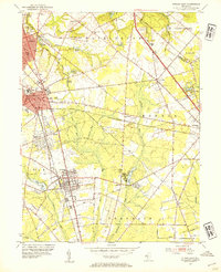 1953 Pitman East1954 Print · USGSGloucester County at mid-century shows a mix of growing college towns and rural crossroads connected by the Pennsylvania-Reading Seashore Lines. Local historians can trace the foundations of Glassboro and Pitman, or locate smaller landmarks like Fries Mill, Bunker Hill Ch, and the State Teachers College.2 unique versions available
 - 1953 Map of Pitman West, 1954 Print
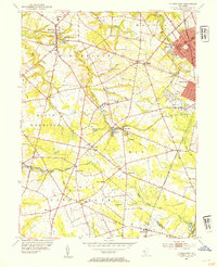 1953 Pitman West1954 Print · USGSSouth Jersey's farming heartland and growing boroughs are captured here in the early fifties. Genealogists can trace family roots through Mullica Hill, Aura, and Hardingville, or locate historic sites like Siloam Ch and Richwood Academy.2 unique versions available
 - 1955 Map of Wilmington
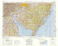 1955 Wilmington1955 Print · USGSThe Delaware Valley and Jersey Shore are seen here during the mid-fifties era of rapid suburban expansion and highway development. You can trace the path of the New Jersey Turnpike, locate the Fort Dix Military Reservation, or explore the rail networks of the Pennsylvania Railroad.
 - 1957 Map of Wilmington
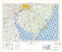 1957 Wilmington1957 Print · USGSThe mid-Atlantic coastal plain comes alive in the mid-fifties as the New Jersey Turnpike and Garden State Parkway redefine travel. Researchers can trace the rail-to-road transition and find landmarks like Ship John Shoal Light and the Fort Dix Military Reservation.2 unique versions available
 - 1959 Map of Wilmington
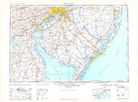 1959 Wilmington1959 Print · USGSThe Delaware Valley and Jersey Shore are seen here in the late fifties, during a period of massive suburban and highway expansion. Researchers can trace mid-century infrastructure like the N J Turnpike or locate coastal landmarks from Barnegat Bay to the Maurice River.3 unique versions available
 - 1966 Map of Pitman East, 1968 Print
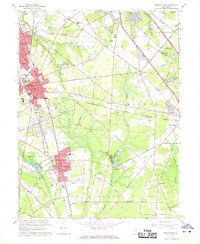 1966 Pitman East1968 Print · USGSMid-century Gloucester County comes into focus as the growth of Glassboro and its college meets the rural reaches of Monroe and Franklin. Researchers can trace the Pennsylvania-Reading Seashore Lines or locate family sites like Fries Mill and Hill Crest Memorial Park.3 unique versions available
 - 1966 Map of Wilmington, 1968 Print
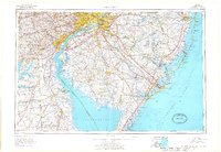 1966 Wilmington1968 Print · USGSThe Delaware Valley and Jersey Shore are seen here in the mid-1960s, documenting a landscape of dense industrial cities and emerging coastal resorts. Researchers can trace the sprawling rail networks of the Pennsylvania Railroad or locate landmarks like Fort Dix Military Reservation and Elk Neck State Park.4 unique versions available
 - 1967 Map of Runnemede, 1969 Print
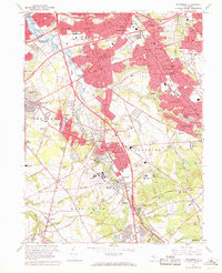 1967 Runnemede1969 Print · USGSCamden and Gloucester Counties are shown in a phase of rapid postwar growth, where new expressways began to define the local landscape. Researchers can trace the development of suburban boroughs like Hi-Nella and Lawnside or locate the sprawling Lakeland General Hospital complex.4 unique versions available
 - 1967 Map of Woodbury, 1969 Print
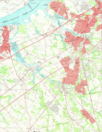 1967 Woodbury1969 Print · USGSGloucester County during the late sixties shows a landscape of growing suburbs and riverfront industry tied together by the Pennsylvania Reading Seashore Lines. Genealogists can locate family landmarks like Eglington Cemetery, Underwood Hospital, and the County Institution.4 unique versions available
 - 1967 Map of Pitman West, 1969 Print
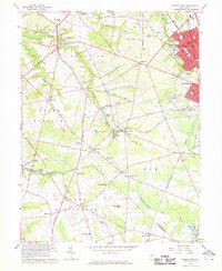 1967 Pitman West1969 Print · USGSGloucester County was a landscape of orchard-rich townships and growing rail-connected boroughs during the late sixties. Genealogists can trace family roots through historic landmarks like Wrights Mill, Siloam Ch, and the many hamlets from Mullica Hill to Monroeville.3 unique versions available
 - 1972 Map of Wilmington, 1976 Print
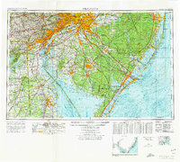 1972 Wilmington1976 Print · USGSThe Delaware Valley and Jersey Shore are seen here in the 1970s, showcasing the region's dense transport networks and vast state forests. Trace early coastal development near Atlantic City or locate rural landmarks like Mount Holly and Dover Air Force Base.2 unique versions available
 - 1984 Map of Wilmington, 1986 Print
 1984 Wilmington1986 Print · USGSThe Delaware Valley in the mid-eighties was a powerhouse of transit and industry where Delaware, New Jersey, Pennsylvania, and Maryland meet. Researchers can trace the sprawling rail networks of SEPTA and PATCO or locate historic sites like Fort Delaware State Park and Valley Forge State Forest.2 unique versions available
 - 1995 Map of Woodbury, 1999 Print
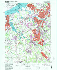 1995 Woodbury1999 Print · USGSGloucester County at the close of the twentieth century shows a landscape of established suburban boroughs and major riverfront industry. You can trace family roots through numerous local landmarks, including Eglington Cemetery, the County Institution, and Gateway Regional High School.
 - 1995 Map of Pitman West, 1999 Print
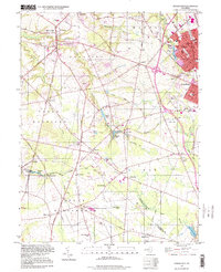 1995 Pitman West1999 Print · USGSGloucester County in the mid-nineties shows a mix of growing suburban centers and traditional rural crossroads. Researchers can trace historic family locations near Wrights Mill and Jessups Mill or locate old community landmarks like Mt Calvary Ch and Rodgers Sch.
 - 1995 Map of Runnemede, 2000 Print
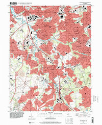 1995 Runnemede2000 Print · USGSCamden and Gloucester counties are shown here in the mid-nineties as the suburban landscape fully integrated with major regional thoroughfares. Researchers can trace historic neighborhoods and community anchors like Blackwood Terrace, St Johns Ch, and the Pennsylvania-Reading Seashore Lines.
End of results
Showing maps 1-24 of 24
Top cities near Mantua Township
- Philadelphia historical maps
- Upper Darby historical maps
- Camden historical maps
- Cherry Hill Township historical maps
- Vineland historical maps
- Washington Township historical maps
See more
Top neighborhoods of Mantua Township
- Buckingham Village historical maps
- Centre City historical maps
- Barnsboro historical maps
- Sewell historical maps
Frequently asked questions
- What are the different types of historical maps available for Mantua Township?
- What is the oldest map of Mantua Township?
- Where can I purchase historical maps of Mantua Township for my home or office?
- Where can I download high-res historical maps of Mantua Township?
- Are there historical topographic maps available for Mantua Township?
- Is there historical aerial imagery available for Mantua Township?
- Where are historical maps of Mantua Township sourced from?