Old Maps of Mercer County, New Jersey for Hiking & Exploration
Hike through history with 132 historic maps of Mercer County. Explore old trails, ghost towns, and forgotten backroads — perfect for outdoor adventurers and local explorers.
- Rediscover forgotten places: Map out old mining camps, roads, and footpaths that no longer exist on modern maps.
- Layer with modern tools: Combine with LiDAR or satellite views to plan hikes through historical terrain.
- Made for exploration: Popular among hikers, overlanders, and local history lovers.
Use these maps to find adventure and explore the hidden past of Mercer County.
Mercer County, NJ maps
(132)- 1888 Map of Bordentown
 1888 Bordentown1888 Print · USGSCentral New Jersey in the 1880s was a bustling corridor of river commerce and intersecting rail lines. Genealogists and local historians can trace the early footprints of Bordentown, locate the junctions of the Pennsylvania Railroad, and find rural settlements like Recklesstown and Arneytown.
 - 1888 Map of New Brunswick
 1888 New Brunswick1888 Print · USGSMiddlesex County in the 1880s is shown here as a bustling hub of early rail and river industry. Genealogists and local historians can trace family roots through historic settlements like Old Bridge, Jamesburgh, and the preserved Monmouth Battle Ground.
 - 1888 Map of Princeton
 1888 Princeton1888 Print · USGSCentral New Jersey in the late nineteenth century is defined here by its critical canal and rail corridors connecting thriving agricultural villages. Genealogists and historians can trace family-named sites and early junctions like Grover's Mill, Griggstown, and the rail hub at Monmouth Junction.
 - 1888 Map of Cassville
 1888 Cassville1888 Print · USGSCoastal New Jersey's interior pine and mill country is captured here during the 1880s, long before modern highways reshaped the region. Genealogists and local historians can trace the foundations of old family-named sites like Collier's Mills, Vanhiseville, and the Butterfly Bridge.
 - 1890 Map of Lambertville
 1890 Lambertville1890 Print · USGSThe Delaware River valley thrived at the end of the nineteenth century as a hub for both canal and rail transport. Genealogists can trace family names and legacy sites near Lambertville, Washington's Crossing, and the junctions at Ringoes.
 - 1890 Map of Burlington
 1890 Burlington1890 Print · USGSThe Delaware River corridor was a thriving network of canal commerce and rail lines in the late nineteenth century. Genealogists and historians can trace family-named landings and early settlements like Dunks Ferry, Hulmeville, and the State Lunatic Asylum near Trenton.
 - 1891 Map of Lambertville
 1891 Lambertville1891 Print · USGSThe Delaware River valley in the late 1880s is captured here at the height of the canal and rail era. Genealogists and historians can trace the early footprints of Lambertville, the course of the Delaware and Raritan Canal Feeder, and crossroads like Ringoes.
 - 1893 Map of Bordentown
 1893 Bordentown1893 Print · USGSCentral New Jersey in the late nineteenth century was a bustling corridor of rail lines and established river towns. Genealogists and historians can trace the early footprints of Bordentown, Hamilton Square, and the various branches of the Pennsylvania Railroad.3 unique versions available
 - 1893 Map of New Brunswick
 1893 New Brunswick1893 Print · USGSMiddlesex and Monmouth counties were thriving rail hubs in the 1890s, where heavy industry met Revolutionary history. Genealogists and collectors can trace family roots through small settlements like Texas and Spotswood or locate the State Reform School and Monmouth Battle Ground.2 unique versions available
 - 1893 Map of Burlington
 1893 Burlington1893 Print · USGSThe Delaware River valley thrived as a corridor of rail and river commerce in the late nineteenth century. Genealogists and historians can trace defunct transport hubs like Dunks Ferry, explore the grounds of the State Lunatic Asylum, and locate old stops along the Philadelphia and Newtown Railroad.3 unique versions available
 - 1894 Map of Princeton
 1894 Princeton1894 Print · USGSCentral New Jersey is captured here in the late nineteenth century as its river-and-canal economy transitioned to a powerhouse of rail travel. Genealogists and historians can trace the early footprints of Princeton, the industrial Delaware and Raritan Canal, and rural stops like Grover Mill.2 unique versions available
 - 1894 Map of Cassville
 1894 Cassville1894 Print · USGSThe interior of Monmouth and Ocean Counties is revealed here in the late nineteenth century, showing a landscape defined by water-powered industry. Researchers can trace the heritage of old milling hubs like Jackson Mills and Collier Mills or the rail lines of the New Jersey Southern Railroad.
 - 1894 Map of Lambertville
 1894 Lambertville1894 Print · USGSThe Delaware River valley was a thriving hub of 19th-century commerce, where twin canals and the Belvidere Division railroad powered local industry. Researchers can trace ancestral lands through numerous family-named landmarks like Muirheads and Larison Corner, or locate the exact 1890s footprints of Lambertville and Hopewell.4 unique versions available
 - 1900 Map of Cassville
 1900 Cassville1900 Print · USGSMonmouth and Ocean Counties appear at the turn of the century, showing a landscape defined by water-powered milling and early rail transport. Genealogists can trace family names at Lahaway Plantations, Carrs Tavern, and through the many mills including Colliers Mill.3 unique versions available
 - 1901 Map of New Brunswick
 1901 New Brunswick1901 Print · USGSMiddlesex and Monmouth counties are depicted here at the height of the railroad era, as industrial centers like New Brunswick grew alongside rural farmlands. Genealogists and historians can trace family-named landmarks and old hamlets from Old Church and Matchaponix to the site of the Monmouth Battle Ground.5 unique versions available
 - 1902 Map of Navesink
 1902 Navesink1902 Print · USGSCoastal New Jersey and the Raritan valley are shown here at the turn of the century, when industrial hubs and maritime defenses defined the shoreline. Genealogists can trace family roots through settlements like Old Bridge and Milltown, or locate local landmarks like the State Reform School.3 unique versions available
 - 1904 Map of Burlington, 1958 Print
 1904 Burlington1958 Print · USGSThe Delaware River corridor thrives during the early twentieth century as a hub of rail, canal, and river commerce. Genealogists and local historians can trace family roots through riverside landings like Borton Landing or follow the legacy of institutions such as the George School and the State Lunatic Asylum.
 - 1906 Map of Lambertville
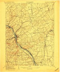 1906 Lambertville1906 Print · USGSThe Delaware River valley in the early 1900s is shown in transition, where water-borne trade meets the expanding rail network. Genealogists and historians can trace family-named corners like Vanlieu Corners and Marshalls Corner alongside the Delaware and Raritan Canal.6 unique versions available
 - 1906 Map of Burlington
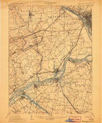 1906 Burlington1906 Print · USGSThe Delaware River corridor was a bustling hub of rail and water transport in the early 1900s. Genealogists and local historians can trace the development of riverside wharves like Andalusia Wharf and institutional landmarks such as the State Lunatic Asylum.6 unique versions available
 - 1906 Map of Bordentown
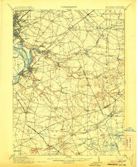 1906 Bordentown1906 Print · USGSThe Delaware River corridor and Burlington County interior are seen here in the early 1900s, showing a landscape shaped by rail and river commerce. Genealogists can trace early homesteads and hamlets near Bordentown, Hamilton Square, and the mills at Walnford.6 unique versions available
 - 1906 Map of Princeton
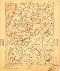 1906 Princeton1906 Print · USGSNew Jersey’s educational and transportation corridors are captured here in the early twentieth century, showing a landscape defined by canals and competing rail lines. Genealogists can trace family roots through settlements like Princeton, Rocky Hill, and Plainsboro.4 unique versions available
 - 1907 Map of Trenton
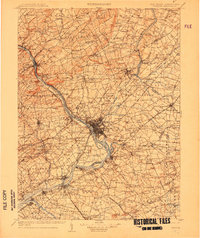 1907 Trenton1907 Print · USGSThe Delaware River valley hums with turn-of-the-century industry and transport as river canals and railroads converge between New Jersey and Pennsylvania. Genealogists and local historians can trace the footprint of the George School, find early post offices like Holland PO, or locate old mill sites such as Blackwells Mills.4 unique versions available
 - 1918 Map of Camp Dix
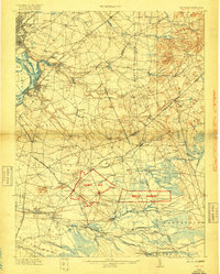 1918 Camp Dix1918 Print · USGSNew Jersey at the height of the Great War features the sprawling mobilization grounds of Camp Dix and its expansive Rifle Range. Genealogists and historians can trace defunct stops like Imlaystown Sta or locate family roots near New Egypt and Colliers Mill.2 unique versions available
 - 1919 Map of New Brunswick, 1921 Print
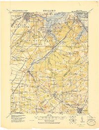 1919 New Brunswick1921 Print · USGSMiddlesex and Monmouth counties are depicted here in the years following the Great War, when rail lines and river commerce still drove the region’s growth. Researchers can trace the sprawling Pennsylvania Railroad network through industrial hubs like Jamesburg or visit the hallowed Monmouth Battle Ground.
 - 1942 Map of Hightstown
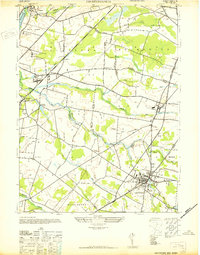 1942 Hightstown1942 Print · USGSCentral New Jersey during the early years of the war displays a unique blend of scholarly institutions and agricultural hamlets. Researchers can trace the development of Hightstown and Plainsboro, or locate sites like Grovers Mills and the Peddie Prep Sch.
Showing maps 1-25 of 132
Top cities of Mercer County
- Hamilton Township historical maps
- Trenton historical maps
- Ewing Township historical maps
- Lawrence Township historical maps
- East Windsor Township historical maps
- West Windsor historical maps
See more
Frequently asked questions
- What are the different types of historical maps available for Mercer County?
- What is the oldest map of Mercer County?
- Where can I purchase historical maps of Mercer County for my home or office?
- Where can I download high-res historical maps of Mercer County?
- Are there historical topographic maps available for Mercer County?
- Is there historical aerial imagery available for Mercer County?
- Where are historical maps of Mercer County sourced from?