2000s (21st Century) Maps of Highlands, New Jersey
Explore 10 historic maps of Highlands from the 2000s (21st Century). These maps offer a rare glimpse into what life looked like during the 2000s — showing old roads, neighborhoods, homes, and landmarks that have changed or disappeared over time.
Whether you're researching your family's past, planning a metal detecting trip, or studying how Highlands's landscape evolved across the 2000s, these high-resolution maps are a powerful tool for exploring the history of this region.
- Focus on a specific era: All maps on this page are from the 2000s, giving you a focused view of this time period.
- See what’s changed: Compare century-old streets, trails, and buildings to today's modern landscape using overlays and satellite layers.
- Research with precision: Use these maps for genealogy, historical research, land use analysis, or educational projects.
- View, download, or print: Maps are fully viewable online in high resolution, and can be downloaded or printed for your own records.
Start exploring Highlands's history through authentic maps from the 2000s. This is your window into the past.
Highlands, NJ maps
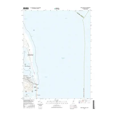
(10)- 2011 Map of Sandy Hook East, 2011 Print
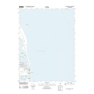 2011 Sandy Hook East2011 Print · USGSCovers Highlands, including New York, Middletown Township, and other nearby areas
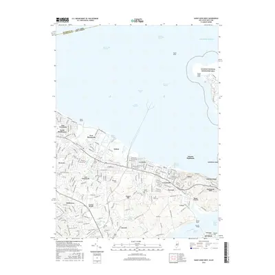
 - 2011 Map of Sandy Hook West, 2011 Print
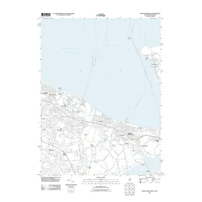 2011 Sandy Hook West2011 Print · USGSCovers Highlands, including New York, Middletown Township, and other nearby areas
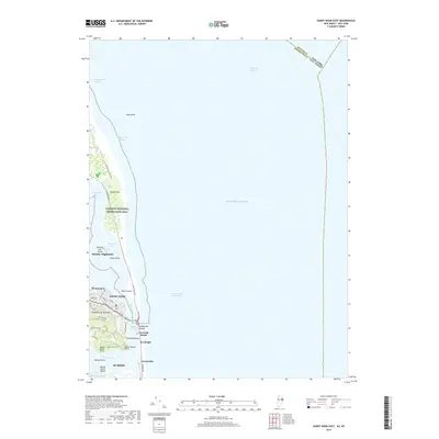
 - 2014 Map of Sandy Hook East, 2014 Print
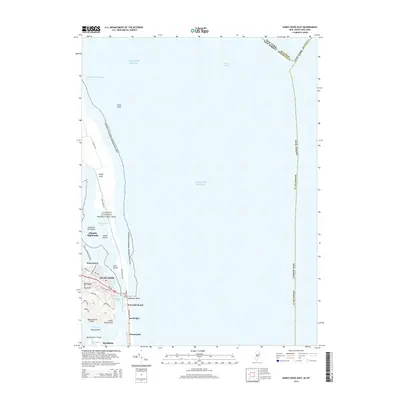 2014 Sandy Hook East2014 Print · USGSCovers Highlands, including New York, Middletown Township, and other nearby areas
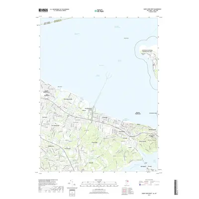
 - 2014 Map of Sandy Hook West, 2014 Print
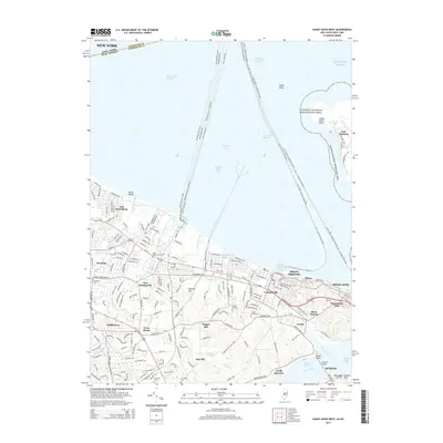 2014 Sandy Hook West2014 Print · USGSCovers Highlands, including New York, Middletown Township, and other nearby areas
 - 2016 Map of Sandy Hook East, 2016 Print
 2016 Sandy Hook East2016 Print · USGSCovers Highlands, including New York, Middletown Township, and other nearby areas
 - 2016 Map of Sandy Hook West, 2016 Print
 2016 Sandy Hook West2016 Print · USGSCovers Highlands, including New York, Middletown Township, and other nearby areas
 - 2019 Map of Sandy Hook East, 2019 Print
 2019 Sandy Hook East2019 Print · USGSCovers Highlands, including New York, Middletown Township, and other nearby areas
 - 2019 Map of Sandy Hook West, 2019 Print
 2019 Sandy Hook West2019 Print · USGSCovers Highlands, including New York, Middletown Township, and other nearby areas
 - 2023 Map of Sandy Hook East, 2023 Print
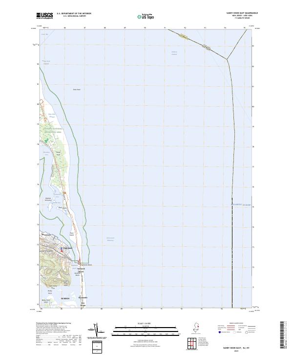 2023 Sandy Hook East2023 Print · USGSThe northern New Jersey coastline appears in detail just as modern conservation and coastal development intersect. Genealogists and historians can trace the streets of Highlands or locate family landmarks near Waterwitch, Normandie, and Sea Bright.
 - 2023 Map of Sandy Hook West, 2023 Print
 2023 Sandy Hook West2023 Print · USGSMonmouth County's northern shoreline comes alive in this contemporary survey of the bayside communities and the Sandy Hook peninsula. Researchers can trace historic cemeteries and harbors from Belford Harbor to Saint Clements Cem and the Stone Church area.
End of results
Showing maps 1-10 of 10
Top cities near Highlands
- New York historical maps
- Hempstead historical maps
- Middletown Township historical maps
- Howell Township historical maps
- Linden historical maps
- Marlboro Township historical maps
See more
Top neighborhoods of Highlands
Frequently asked questions
- What are the different types of historical maps available for Highlands?
- What is the oldest map of Highlands?
- Where can I purchase historical maps of Highlands for my home or office?
- Where can I download high-res historical maps of Highlands?
- Are there historical topographic maps available for Highlands?
- Is there historical aerial imagery available for Highlands?
- Where are historical maps of Highlands sourced from?