2000s (21st Century) Maps of Chester Township, New Jersey
Explore 15 historic maps of Chester Township from the 2000s (21st Century). These maps offer a rare glimpse into what life looked like during the 2000s — showing old roads, neighborhoods, homes, and landmarks that have changed or disappeared over time.
Whether you're researching your family's past, planning a metal detecting trip, or studying how Chester Township's landscape evolved across the 2000s, these high-resolution maps are a powerful tool for exploring the history of this region.
- Focus on a specific era: All maps on this page are from the 2000s, giving you a focused view of this time period.
- See what’s changed: Compare century-old streets, trails, and buildings to today's modern landscape using overlays and satellite layers.
- Research with precision: Use these maps for genealogy, historical research, land use analysis, or educational projects.
- View, download, or print: Maps are fully viewable online in high resolution, and can be downloaded or printed for your own records.
Start exploring Chester Township's history through authentic maps from the 2000s. This is your window into the past.
Chester Township, NJ maps
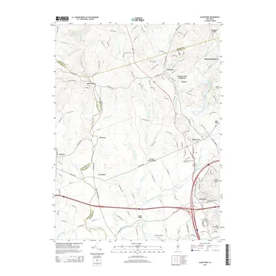
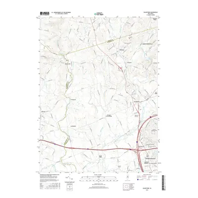
(15)- 2011 Map of Gladstone, 2011 Print
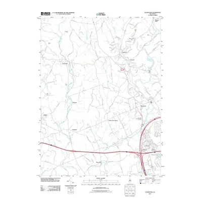 2011 Gladstone2011 Print · USGSCovers Chester Township, including Bridgewater Township, Readington Township, and other nearby areas
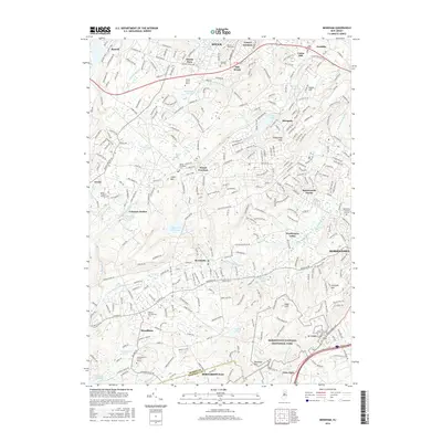
 - 2011 Map of Mendham, 2011 Print
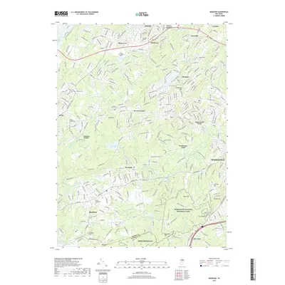
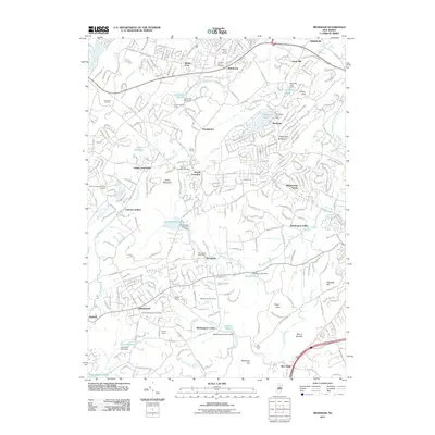 2011 Mendham2011 Print · USGSCovers Chester Township, including Parsippany-Troy Hills, Roxbury Township, and other nearby areas
 - 2011 Map of Chester, 2011 Print
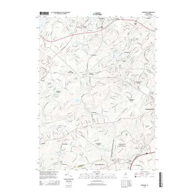
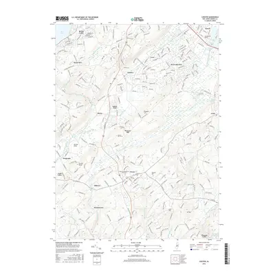
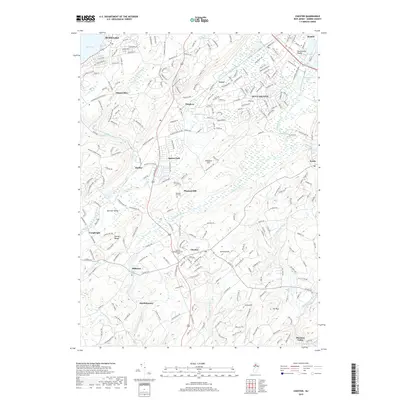
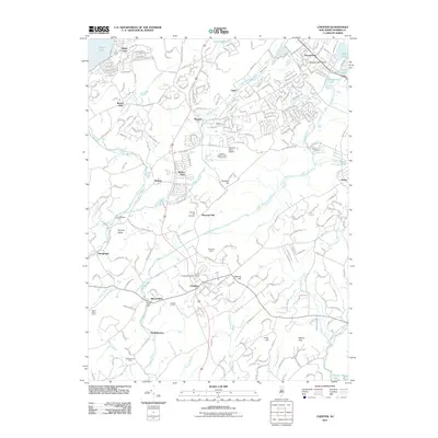 2011 Chester2011 Print · USGSCovers Chester Township, including Mount Olive, Roxbury Township, and other nearby areas
 - 2014 Map of Chester, 2014 Print
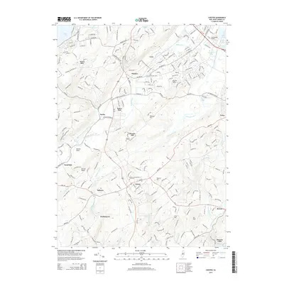 2014 Chester2014 Print · USGSCovers Chester Township, including Mount Olive, Roxbury Township, and other nearby areas
 - 2014 Map of Mendham, 2014 Print
 2014 Mendham2014 Print · USGSCovers Chester Township, including Parsippany-Troy Hills, Roxbury Township, and other nearby areas
 - 2014 Map of Gladstone, 2014 Print
 2014 Gladstone2014 Print · USGSCovers Chester Township, including Bridgewater Township, Readington Township, and other nearby areas
 - 2016 Map of Mendham, 2016 Print
 2016 Mendham2016 Print · USGSCovers Chester Township, including Parsippany-Troy Hills, Roxbury Township, and other nearby areas
 - 2016 Map of Chester, 2016 Print
 2016 Chester2016 Print · USGSCovers Chester Township, including Mount Olive, Roxbury Township, and other nearby areas
 - 2016 Map of Gladstone, 2016 Print
 2016 Gladstone2016 Print · USGSCovers Chester Township, including Bridgewater Township, Readington Township, and other nearby areas
 - 2019 Map of Gladstone, 2019 Print
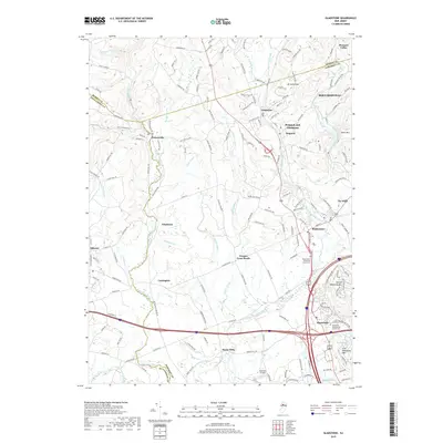 2019 Gladstone2019 Print · USGSCovers Chester Township, including Bridgewater Township, Readington Township, and other nearby areas
 - 2019 Map of Chester, 2019 Print
 2019 Chester2019 Print · USGSCovers Chester Township, including Mount Olive, Roxbury Township, and other nearby areas
 - 2019 Map of Mendham, 2019 Print
 2019 Mendham2019 Print · USGSCovers Chester Township, including Parsippany-Troy Hills, Roxbury Township, and other nearby areas
 - 2023 Map of Mendham, 2023 Print
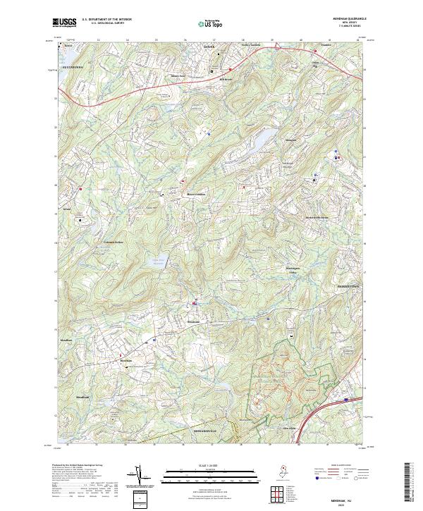 2023 Mendham2023 Print · USGSMorris County's highland ridges and historic boroughs are captured here in the contemporary era. Researchers can trace local heritage through sites like Hilltop Presbyterian Cem, Mount Freedom, and the grounds of Morristown National Historical Park.
 - 2023 Map of Chester, 2023 Print
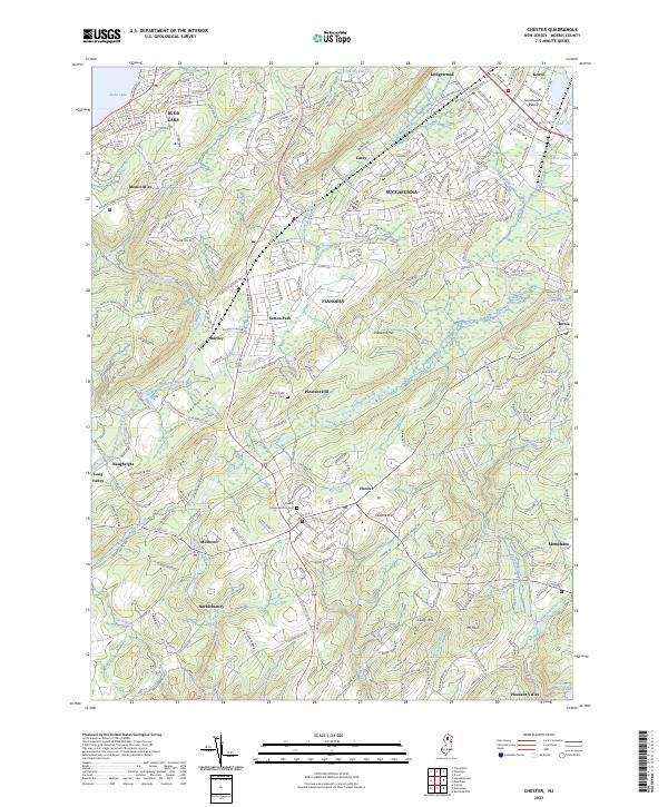 2023 Chester2023 Print · USGSMorris County at the start of the 2020s shows a landscape where historic valley settlements meet modern suburban growth. Researchers can trace local heritage at the Chester Congregational Cem or follow the waterways of German Valley and Hacklebarney.
 - 2023 Map of Gladstone, 2023 Print
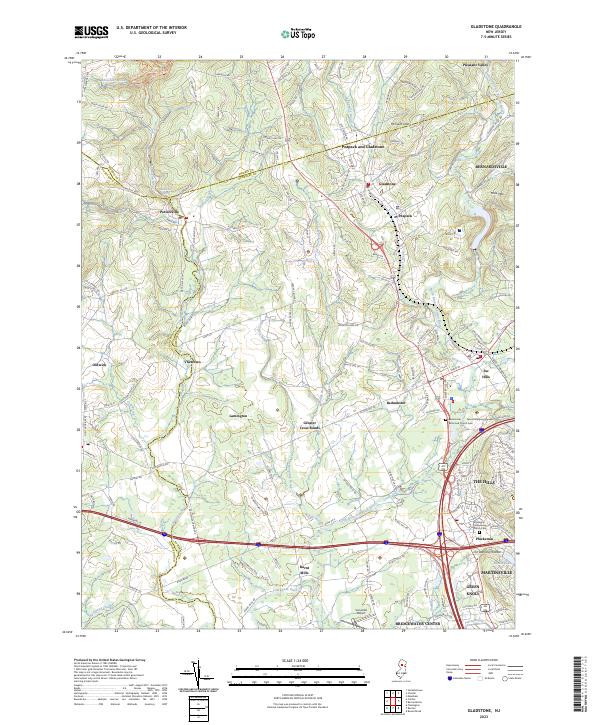 2023 Gladstone2023 Print · USGSThe North Jersey hills and the Raritan valley are shown in contemporary detail in this recent survey. Local researchers can trace old routes and landmarks through Pottersville, Oldwick, and the historic Pluckemin Presbyterian Church Cem.
End of results
Showing maps 1-15 of 15
Top cities near Chester Township
- Parsippany-Troy Hills historical maps
- Piscataway Township historical maps
- Plainfield historical maps
- Bridgewater Township historical maps
- Hillsborough Township historical maps
- Mount Olive historical maps
See more
Top neighborhoods of Chester Township
Frequently asked questions
- What are the different types of historical maps available for Chester Township?
- What is the oldest map of Chester Township?
- Where can I purchase historical maps of Chester Township for my home or office?
- Where can I download high-res historical maps of Chester Township?
- Are there historical topographic maps available for Chester Township?
- Is there historical aerial imagery available for Chester Township?
- Where are historical maps of Chester Township sourced from?