Old Maps of Long Beach Township, New Jersey for Genealogy
Trace your family roots with 61 historic maps of Long Beach Township. These high-res maps reveal old neighborhoods, homesites, landmarks, and streets — helping you uncover where your ancestors lived and how the area evolved over time.
- Explore historic neighborhoods: Identify where your relatives may have lived in the 1800s or 1900s.
- Compare maps over time: Trace the changes in streets, buildings, and landmarks for multi-generational research.
- Perfect for genealogy & ancestry research: Used by family historians and researchers to map out lineage and migration.
These maps are an incredible resource for exploring your personal connection to Long Beach Township's past.
Long Beach Township, NJ maps
(61)- 1888 Map of Barnegat
 1888 Barnegat1888 Print · USGSCoastal New Jersey in the late nineteenth century was a world of life-saving stations and emerging rail-linked resorts. Researchers can trace the original paths of the Tuckerton Railroad and locate early landmarks like Barnegat Light and the curiously named Double Trouble.
 - 1888 Map of Little Egg Harbor
 1888 Little Egg Harbor1888 Print · USGSThe Jersey Shore and Pine Barrens meet here during the late Victorian era, before the modern development of the coastline. Genealogists and historians can trace the early Tuckerton Railroad through settlements like Staffordville, Nugentown, and Sea Haven.2 unique versions available
 - 1888 Map of Long Beach
 1888 Long Beach1888 Print · USGSCoastal New Jersey is captured in the late 1880s, revealing a landscape of shifting sands and early rail connections. Researchers can trace the path of the Long Beach Railroad and locate early landmarks like L.S. Station Harvey Cedars and Beach Haven.
 - 1893 Map of Little Egg Harbor
 1893 Little Egg Harbor1893 Print · USGSCoastal New Jersey thrived at the end of the century as a landscape of rail-connected shore towns and intricate salt marsh thoroughfares. Genealogists and historians can trace old family settlements from New Gretna to Tuckerton, or locate maritime landmarks like Little Egg Harbor Light and Stafford Forge.4 unique versions available
 - 1893 Map of Long Beach
 1893 Long Beach1893 Print · USGSCoastal Ocean County comes alive in the late 1800s, showcasing the early resort era and maritime safety network on the barrier island. Trace the original route of the Long Beach Railroad and locate early sites like Beach Haven and L.S. Station Ships Bottom.4 unique versions available
 - 1893 Map of Barnegat
 1893 Barnegat1893 Print · USGSThe Jersey Shore in the late nineteenth century is a landscape of maritime safety and expanding rail lines. Genealogists and historians can trace old coastal settlements like Lavallette and Chadwick or locate the various Life Saving Stations and the iconic Barnegat Light.2 unique versions available
 - 1898 Map of Barnegat, 1904 Print
 1898 Barnegat1904 Print · USGSThe Jersey Shore appears here at the end of the nineteenth century, when Life-Saving Stations and early rail lines defined the coast. Genealogists and maritime historians can trace the foundations of Barnegat City, Lavallette, and the iconic Barnegat Light.5 unique versions available
 - 1919 Map of Long Beach
 1919 Long Beach1919 Print · USGSThe New Jersey shore during the early twentieth century was a landscape of remote Life Saving Stations and emerging rail-side hamlets. Genealogists and historians can trace the early footprints of Beach Haven and Harvey Cedars along the Long Beach Railroad.
 - 1919 Map of Barnegat, 1921 Print
 1919 Barnegat1921 Print · USGSCoastal Ocean County comes alive in the years after the Great War, showing a landscape of barrier island settlements and mainland rail stops. Genealogists and historians can trace early shore life through the string of Life Saving Stations, the Barnegat Light, and old rail stops like Pinewald Sta. or Ostrom Sta.
 - 1920 Map of Little Egg Harbor
 1920 Little Egg Harbor1920 Print · USGSThe New Jersey shore south of Manahawken was a landscape of salt marshes and pine plains during the early twentieth century. Genealogists and historians can trace the old Tuckerton Railroad line and find now-changed coastal landmarks like Tucker Beach and Stafford Forge.
 - 1941 Map of Toms River
 1941 Toms River1941 Print · USGSCoastal New Jersey's riverfronts and barrier islands are captured here just before the mid-century boom. Trace historic family sites and early infrastructure at Double Trouble, Murray Grove Cemetery, and the Pinewald Golf Course.2 unique versions available
 - 1941 Map of Long Beach
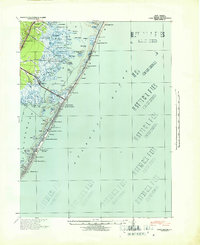 1941 Long Beach1941 Print · USGSLong Beach Island and the Jersey Shore appear here just before the mid-century, showing a string of coastal villages linked by the Pennsylvania Railroad. Genealogists and historians can trace property near Long Beach Township Hall or explore early bayside landmarks like Ship Bottom and Harvey Cedars.
 - 1942 Map of Tuckerton
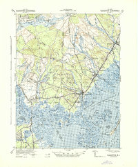 1942 Tuckerton1942 Print · USGSThe Jersey Shore and Pine Barrens meet here just as the coastal infrastructure was maturing before mid-century. Researchers can trace the layout of Tuckerton, locate the old Stafford Forge, and explore the maze of sedges in Little Egg Harbor.2 unique versions available
 - 1946 Map of Wilmington, 1948 Print
 1946 Wilmington1948 Print · USGSThe Delaware Valley and Jersey Shore emerge in this mid-century portrait of a region defined by river commerce and seaside growth. Genealogists and historians can trace the rail networks of the Pennsylvania Railroad, locate early airfields like Dover Airpark, and find river defenses at Fort Delaware.2 unique versions available
 - 1948 Map of Long Beach
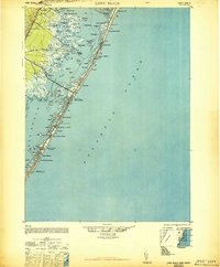 1948 Long Beach1948 Print · USGSLong Beach Island is shown in the late 1940s as a series of growing seaside communities and strategic maritime stations. Researchers can trace the early layout of Surf City, Beach Haven, and the Harvey Cedars CG 115 coast guard facility.3 unique versions available
 - 1948 Map of Toms River
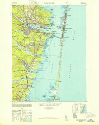 1948 Toms River1948 Print · USGSThe Jersey Shore's mid-century landscape is preserved here, from the mainland settlements of Toms River to the narrow barrier of Island Beach. Genealogists can trace family landmarks like the Friends Meeting Cemetery and Murray Grove Cemetery as the coastal rail lines linked the bay towns.6 unique versions available
 - 1951 Map of Beach Haven, 1954 Print
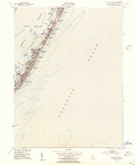 1951 Beach Haven1954 Print · USGSThe Jersey Shore comes alive in the early fifties on this detailed survey of Long Beach. Trace the dense grid of coastal settlements from Brant Beach down to Beach Haven, and locate harbor landmarks like Mordecai Island and Peahala Park.4 unique versions available
 - 1951 Map of Long Beach NE, 1954 Print
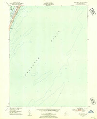 1951 Long Beach NE1954 Print · USGSCoastal New Jersey at the start of the 1950s reveals the early mid-century footprint of the northern barrier islands. Researchers can trace the street grid of Barnegat Light, locate Long Beach Park, and study the soundings between Barnegat Bay and the ocean.4 unique versions available
 - 1952 Map of Tuckerton, 1954 Print
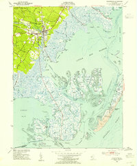 1952 Tuckerton1954 Print · USGSCoastal New Jersey in the early fifties reveals a landscape of tidal marshes and quiet seaside boroughs before the era of major development. Researchers can trace family roots through Greenwood Cem or locate industrial sites like the Fish Factory and Cranberry Bogs.6 unique versions available
 - 1952 Map of Ship Bottom, 1954 Print
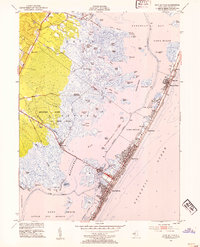 1952 Ship Bottom1954 Print · USGSThe Jersey Shore comes alive in this early 1950s survey of the barrier island and bay marshes during a period of steady coastal growth. Genealogists and historians can trace the street grids of Surf City, Ship Bottom, and Harvey Cedars or locate the Transatlantic Radio Receiver station.5 unique versions available
 - 1953 Map of Barnegat Light, 1957 Print
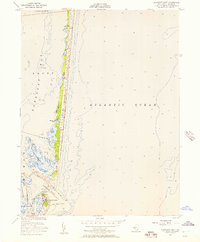 1953 Barnegat Light1957 Print · USGSThe Jersey Shore in the early fifties reveals a landscape of shifting sands and maritime markers along Island Beach. Trace the coastal infrastructure surrounding the Lighthouse and the Sedge Islands, where the settlement of Barnegat Light meets the sea.3 unique versions available
 - 1953 Map of Forked River, 1958 Print
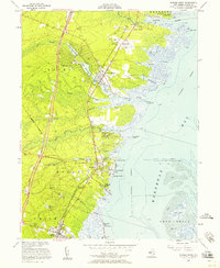 1953 Forked River1958 Print · USGSCoastal Ocean County comes alive in the 1950s, showing the early rise of the Garden State Parkway alongside the Central RR of New Jersey. Genealogists and historians can trace family ties at the Good Luck Cem or Old Waretown Cem.3 unique versions available
 - 1955 Map of Wilmington
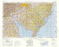 1955 Wilmington1955 Print · USGSThe Delaware Valley and Jersey Shore are seen here during the mid-fifties era of rapid suburban expansion and highway development. You can trace the path of the New Jersey Turnpike, locate the Fort Dix Military Reservation, or explore the rail networks of the Pennsylvania Railroad.
 - 1957 Map of Wilmington
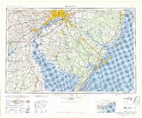 1957 Wilmington1957 Print · USGSThe mid-Atlantic coastal plain comes alive in the mid-fifties as the New Jersey Turnpike and Garden State Parkway redefine travel. Researchers can trace the rail-to-road transition and find landmarks like Ship John Shoal Light and the Fort Dix Military Reservation.2 unique versions available
 - 1959 Map of Wilmington
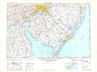 1959 Wilmington1959 Print · USGSThe Delaware Valley and Jersey Shore are seen here in the late fifties, during a period of massive suburban and highway expansion. Researchers can trace mid-century infrastructure like the N J Turnpike or locate coastal landmarks from Barnegat Bay to the Maurice River.3 unique versions available
Showing maps 1-25 of 61
Top cities near Long Beach Township
- Manchester Township historical maps
- Berkeley Township historical maps
- Atlantic City historical maps
- Galloway Township historical maps
- Stafford Township historical maps
- Lacey Township historical maps
See more
Top neighborhoods of Long Beach Township
- Brant Beach historical maps
- High Bar Harbor historical maps
- Bay Vista historical maps
- Holgate historical maps
- North Beach Haven historical maps
- Peahala Park historical maps
See more
Frequently asked questions
- What are the different types of historical maps available for Long Beach Township?
- What is the oldest map of Long Beach Township?
- Where can I purchase historical maps of Long Beach Township for my home or office?
- Where can I download high-res historical maps of Long Beach Township?
- Are there historical topographic maps available for Long Beach Township?
- Is there historical aerial imagery available for Long Beach Township?
- Where are historical maps of Long Beach Township sourced from?