1900s (20th Century) Maps of Salem County, New Jersey
Explore 68 historic maps of Salem County from the 1900s (20th Century). These maps offer a rare glimpse into what life looked like during the 1900s — showing old roads, neighborhoods, homes, and landmarks that have changed or disappeared over time.
Whether you're researching your family's past, planning a metal detecting trip, or studying how Salem County's landscape evolved across the 1900s, these high-resolution maps are a powerful tool for exploring the history of this region.
- Focus on a specific era: All maps on this page are from the 1900s, giving you a focused view of this time period.
- See what’s changed: Compare century-old streets, trails, and buildings to today's modern landscape using overlays and satellite layers.
- Research with precision: Use these maps for genealogy, historical research, land use analysis, or educational projects.
- View, download, or print: Maps are fully viewable online in high resolution, and can be downloaded or printed for your own records.
Start exploring Salem County's history through authentic maps from the 1900s. This is your window into the past.
Salem County, NJ maps
(68)- 1901 Map of Camden
 1901 Camden1901 Print · USGSThe Delaware River valley at the turn of the century shows a bustling corridor of early industrial growth and established mill towns. Researchers can trace the heritage of local industry at Sycamore Mills or locate early settlements like Penns Grove and Village Green.3 unique versions available
 - 1904 Map of Wilmington, 1961 Print
 1904 Wilmington1961 Print · USGSDelaware’s coastal industrial corridor and river defenses are captured here at the turn of the century. Genealogists and historians can trace old transit lines like the Maryland and Delaware Electric RR or locate landmarks such as Fort Delaware and Coochs Bridge.
 - 1906 Map of Dover
 1906 Dover1906 Print · USGSCentral Delaware and Maryland's Eastern Shore appear at the start of the twentieth century, focused on the bustling rail-and-river economy. Genealogists can trace old family landing sites and crossroads villages like Bohemia Mills, Deakyneville Ldg., and Seven Hickories.3 unique versions available
 - 1906 Map of Wilmington
 1906 Wilmington1906 Print · USGSThe industrial waterfronts and rail hubs of northern Delaware thrive in the early twentieth century. Researchers can trace the path of the Chesapeake and Delaware Canal, find the strategic Fort Delaware, and locate old settlements like Coochs Bridge and St Georges.7 unique versions available
 - 1919 Map of Wilmington
 1919 Wilmington1919 Print · USGSNorthern Delaware and the river corridor are mapped at the close of the Great War, highlighting strategic coastal defenses and rail hubs. Genealogists can trace early landmarks like Coochs Bridge, Corner Ketch, and the defensive works at Fort Delaware.2 unique versions available
 - 1919 Map of Vineland, 1921 Print
 1919 Vineland1921 Print · USGSCumberland County’s coastal oyster ports and inland industrial centers are captured here during a period of peak maritime activity. Genealogists and historians can trace rail lines like the Central R. R. of New Jersey or locate vanished sites like Whitehall Ldg. and Sheppards Mill.
 - 1920 Map of Dover
 1920 Dover1920 Print · USGSThe Maryland and Delaware borderlands at the end of the Great War reveal a landscape of tidewater landings and evolving rail lines. Trace family roots and vanished wharves through Fredericktown, the Mason and Dixon Line, and the Bombay Hook Light.
 - 1931 Map of Bay Side
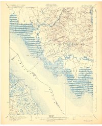 1931 Bay Side1931 Print · USGSThe tidal marshes of the lower Delaware River come alive in the early thirties, showcasing the maritime and agricultural roots of South Jersey. Genealogists and historians can trace family-named sites like Maskell Mill, the rail path of the Southern Jersey R R, and old bayfront landings at Sea Breeze.2 unique versions available
 - 1931 Map of Smyrna
 1931 Smyrna1931 Print · USGSCoastal Delaware in the late twenties and early thirties was a landscape of tidal landings and crossroads settlements linked by the new Dupont Highway. Genealogists can trace family names across Gums Corners, identify sites like St Anns Church, or locate the many landings along Blackbird Creek, including Blackbird Landing and Stave Landing.5 unique versions available
 - 1941 Map of Marcus Hook
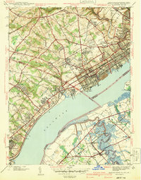 1941 Marcus Hook1941 Print · USGSThe industrial and maritime riverfront at the start of the 1940s is captured here, showing the dense rail networks of the Marcus Hook area. Researchers can trace ancestral property near Hambys Corner, Siloam Ch, or the U S Military Reservation.
 - 1941 Map of Salem
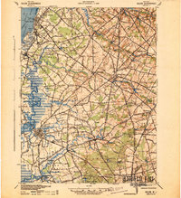 1941 Salem1941 Print · USGSSalem County and the Delaware River waterfront appear here in the early 1940s, just as industrial and wartime infrastructure began to reshape the landscape. Genealogists and local historians can trace family roots through old landmarks like Porches Mill, Yorktown PO, and the Wilmington Ferry route.
 - 1941 Map of Shiloh
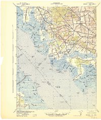 1941 Shiloh1941 Print · USGSCoastal New Jersey and Delaware meet here at the start of the 1940s, showing a landscape of tidal marshes and rural crossroads. Genealogists and historians can trace family-named corners and vital industries like Seventh Day Mill, the County Almshouse, and the Ship John Shoal Light.
 - 1942 Map of Camden
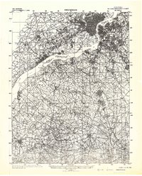 1942 Camden1942 Print · USGSThe Philadelphia and Camden metropolitan corridor is captured here at the height of the Second World War. Genealogists and historians can trace rail networks like the Reading R.R. and locate communities from Swedesboro to Merchantville.
 - 1942 Map of Bridgeton
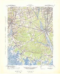 1942 Bridgeton1942 Print · USGSCumberland County during the early war years shows a landscape of busy glass-making towns and rural farming hamlets connected by an intricate rail network. Researchers can trace the lines of the Central Railroad of New Jersey to old mills and landings like Shaws Mill and Tindells Landing.
 - 1946 Map of Wilmington, 1948 Print
 1946 Wilmington1948 Print · USGSThe Delaware Valley and Jersey Shore emerge in this mid-century portrait of a region defined by river commerce and seaside growth. Genealogists and historians can trace the rail networks of the Pennsylvania Railroad, locate early airfields like Dover Airpark, and find river defenses at Fort Delaware.2 unique versions available
 - 1947 Map of Shiloh, 1964 Print
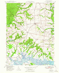 1947 Shiloh1964 Print · USGSCumberland County communities and the winding Cohansey River define this landscape in the late 1940s. Genealogists and historians can locate family landmarks like Fernwood Cemetery, old schools such as Hopewell School, and the grounds of the County Almshouse.5 unique versions available
 - 1948 Map of Glassboro
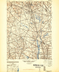 1948 Glassboro1948 Print · USGSSouth Jersey's agricultural heartland and transit corridors are captured here just after the war, showing the area's transition into a modern produce hub. Genealogists can trace family names and small settlements like Brotmanville, Husted Station, and Seabrook Farms.3 unique versions available
 - 1948 Map of Salem
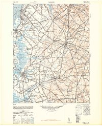 1948 Salem1948 Print · USGSSouth Jersey at the dawn of the atomic age is a landscape of thriving mill towns and vital river commerce. Genealogists and historians can trace the rail corridors of the Pennsylvania Reading Seashore Lines or locate family sites near Russels Mill and Hancocks Bridge.3 unique versions available
 - 1948 Map of Bridgeton
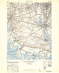 1948 Bridgeton1948 Print · USGSCumberland County at the close of the 1940s reveals a landscape defined by tidewater rivers and a maturing rail network. Researchers can trace the heritage of rural settlements like Gouldtown and Rosenhayn or locate historic industry at Lummis Mill and Mauricetown Station.3 unique versions available
 - 1948 Map of Marcus Hook
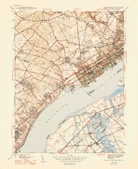 1948 Marcus Hook1948 Print · USGSThe industrial corridor along the Delaware River thrives in the late 1940s as rail and river trade intersect. Genealogists can locate family landmarks like Mt Hope Ch Cem, the U S Quarantine Sta, and the busy junction at Marcus Hook.2 unique versions available
 - 1948 Map of Wilmington South, 1952 Print
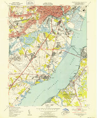 1948 Wilmington South1952 Print · USGSWilmington and New Castle were thriving centers of industry and aviation just after the war as suburban neighborhoods rapidly expanded. Genealogists and researchers can trace local landmarks like Silverbrook Cemetery, the New Castle County Airport, and the Marine Terminal along the Christina River.2 unique versions available
 - 1948 Map of Salem, 1958 Print
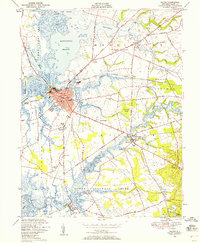 1948 Salem1958 Print · USGSSalem and its surrounding marshlands are captured here in the late 1940s as a thriving hub of river commerce and rail transport. Genealogists and local historians can trace family-named sites and rural institutions from Evergreen Cem to the Town Hall Sch and Hancocks Bridge.5 unique versions available
 - 1948 Map of Taylors Bridge, 1965 Print
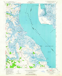 1948 Taylors Bridge1965 Print · USGSThe Delaware riverfront near Taylors Bridge is shown here in the late 1940s, revealing a landscape of tidal marshes and historical landings. Genealogists and historians can trace family-named sites like Vance Neck, Thomas Landing, and Collins Beach.3 unique versions available
 - 1948 Map of Canton, 1965 Print
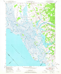 1948 Canton1965 Print · USGSCoastal New Jersey salt marshes and small farming hamlets are preserved here in the late 1940s. Genealogists and historians can locate family-named sites like Garrison Corner, the Bacons Neck Sch, and Maskell Mill along the tidal creeks.3 unique versions available
 - 1948 Map of Delaware City, 1965 Print
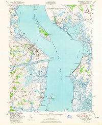 1948 Delaware City1965 Print · USGSThe Delaware River shoreline at mid-century is defined by its military fortifications and heavy maritime traffic between Delaware and New Jersey. Trace historic sites like Fort Delaware, the Quarantine Station on Reedy Island, and the Finns Point National Cemetery near the canal.5 unique versions available
Showing maps 1-25 of 68
Top cities of Salem County
- Pennsville Township historical maps
- Carneys Point Township historical maps
- Salem historical maps
- Penns Grove historical maps
- Woodstown historical maps
- Quinton Township historical maps
See more
Frequently asked questions
- What are the different types of historical maps available for Salem County?
- What is the oldest map of Salem County?
- Where can I purchase historical maps of Salem County for my home or office?
- Where can I download high-res historical maps of Salem County?
- Are there historical topographic maps available for Salem County?
- Is there historical aerial imagery available for Salem County?
- Where are historical maps of Salem County sourced from?