2000s (21st Century) Maps of Alloway Township, New Jersey
Explore 15 historic maps of Alloway Township from the 2000s (21st Century). These maps offer a rare glimpse into what life looked like during the 2000s — showing old roads, neighborhoods, homes, and landmarks that have changed or disappeared over time.
Whether you're researching your family's past, planning a metal detecting trip, or studying how Alloway Township's landscape evolved across the 2000s, these high-resolution maps are a powerful tool for exploring the history of this region.
- Focus on a specific era: All maps on this page are from the 2000s, giving you a focused view of this time period.
- See what’s changed: Compare century-old streets, trails, and buildings to today's modern landscape using overlays and satellite layers.
- Research with precision: Use these maps for genealogy, historical research, land use analysis, or educational projects.
- View, download, or print: Maps are fully viewable online in high resolution, and can be downloaded or printed for your own records.
Start exploring Alloway Township's history through authentic maps from the 2000s. This is your window into the past.
Alloway Township, NJ maps
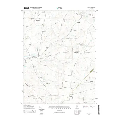
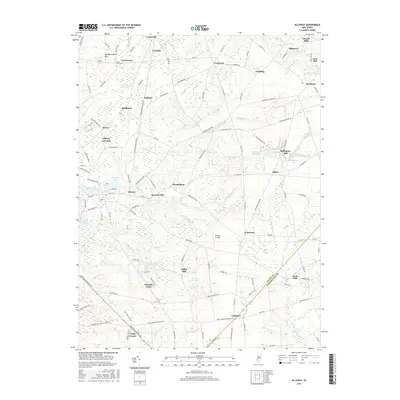
(15)- 2011 Map of Alloway, 2011 Print
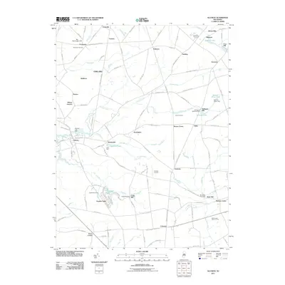 2011 Alloway2011 Print · USGSCovers Alloway Township, including Hopewell Township, Quinton Township, and other nearby areas
 - 2011 Map of Salem, 2011 Print
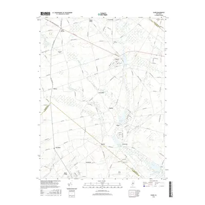
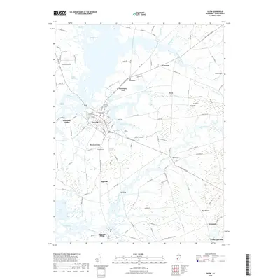
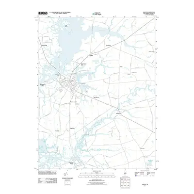 2011 Salem2011 Print · USGSCovers Alloway Township, including Pennsville Township, Salem, and other nearby areas
 - 2011 Map of Elmer, 2011 Print
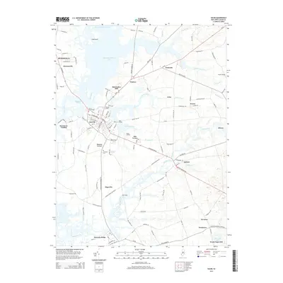
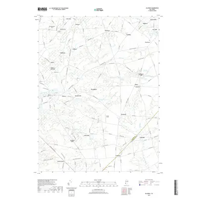
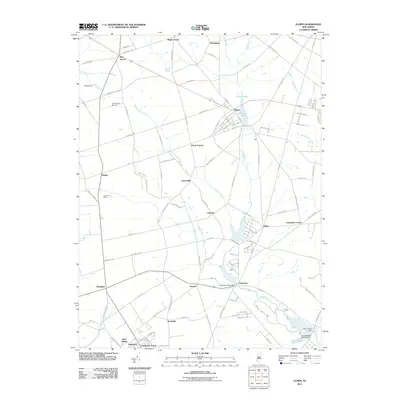 2011 Elmer2011 Print · USGSCovers Alloway Township, including Deerfield, Elmer, and other nearby areas
 - 2014 Map of Elmer, 2014 Print
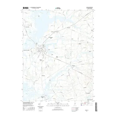
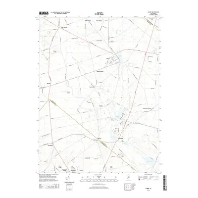 2014 Elmer2014 Print · USGSCovers Alloway Township, including Deerfield, Elmer, and other nearby areas
 - 2014 Map of Alloway, 2014 Print
 2014 Alloway2014 Print · USGSCovers Alloway Township, including Hopewell Township, Quinton Township, and other nearby areas
 - 2014 Map of Salem, 2014 Print
 2014 Salem2014 Print · USGSCovers Alloway Township, including Pennsville Township, Salem, and other nearby areas
 - 2016 Map of Elmer, 2016 Print
 2016 Elmer2016 Print · USGSCovers Alloway Township, including Deerfield, Elmer, and other nearby areas
 - 2016 Map of Salem, 2016 Print
 2016 Salem2016 Print · USGSCovers Alloway Township, including Pennsville Township, Salem, and other nearby areas
 - 2016 Map of Alloway, 2016 Print
 2016 Alloway2016 Print · USGSCovers Alloway Township, including Hopewell Township, Quinton Township, and other nearby areas
 - 2019 Map of Alloway, 2019 Print
 2019 Alloway2019 Print · USGSCovers Alloway Township, including Hopewell Township, Quinton Township, and other nearby areas
 - 2019 Map of Salem, 2019 Print
 2019 Salem2019 Print · USGSCovers Alloway Township, including Pennsville Township, Salem, and other nearby areas
 - 2019 Map of Elmer, 2019 Print
 2019 Elmer2019 Print · USGSCovers Alloway Township, including Deerfield, Elmer, and other nearby areas
 - 2023 Map of Alloway, 2023 Print
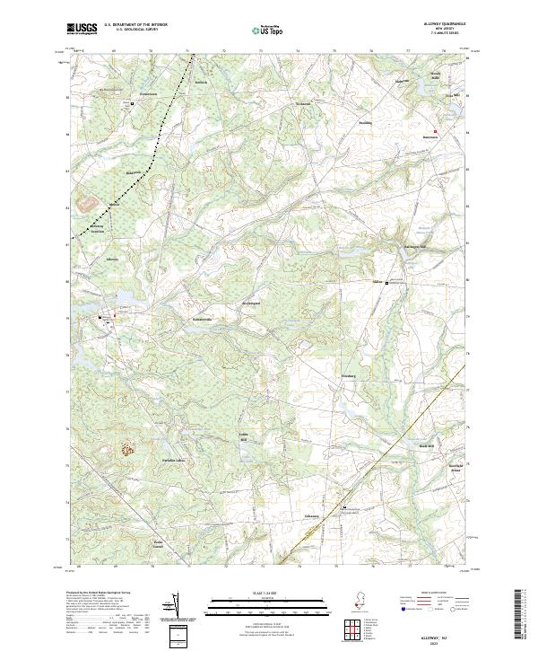 2023 Alloway2023 Print · USGSSalem County's rural hamlets and water-powered history are preserved here in the early twenty-first century. Researchers can trace ancestral roots and industrial sites through local landmarks like Slabtown, the W.J. & S.S. R.R., and the German Presbyterian Church Graveyard.
 - 2023 Map of Salem, 2023 Print
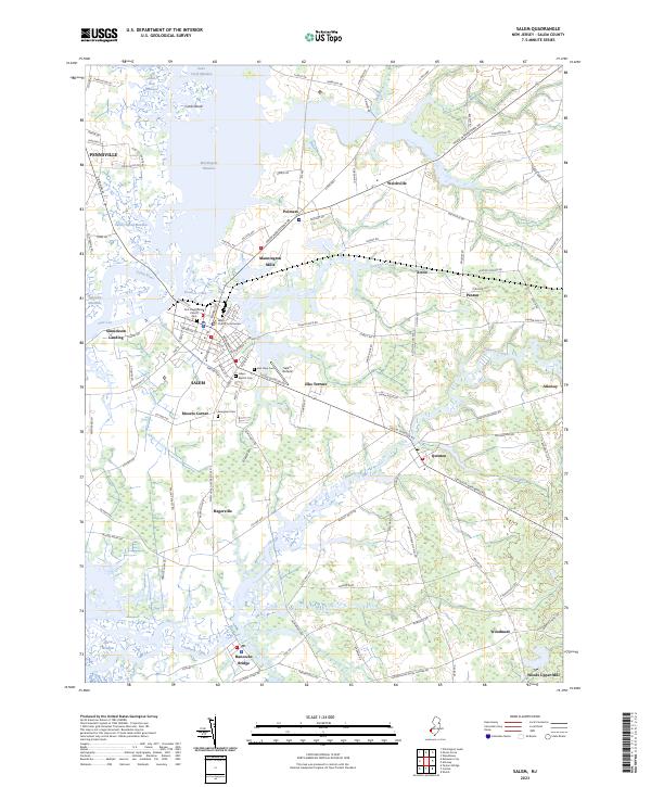 2023 Salem2023 Print · USGSSalem and its surrounding coastal meadows are captured here in the early twenty-first century as the historic county seat continues to anchor the region. Genealogists and local historians can trace landmarks like Evergreen Cemetery, the Salem County Courthouse, and the outskirts of Hancocks Bridge.
 - 2023 Map of Elmer, 2023 Print
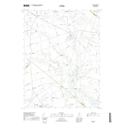
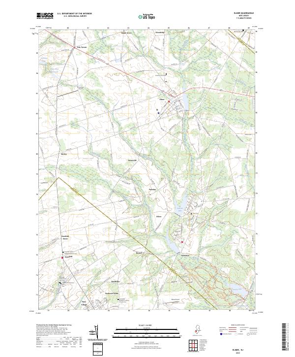 2023 Elmer2023 Print · USGSSouthern New Jersey farm country comes into focus in this contemporary survey of the Elmer and Deerfield areas. Local historians can trace family plots at the Deerfield Presbyterian Cemetery or explore the outskirts of Seabrook Farms and Pole Tavern.
End of results
Showing maps 1-15 of 15
Top cities near Alloway Township
- Wilmington historical maps
- Washington Township historical maps
- Deptford Township historical maps
- Millville historical maps
- Bridgeton historical maps
- Glassboro historical maps
See more
Top neighborhoods of Alloway Township
- Alloway Junction historical maps
- Ballingers Mill historical maps
- Cohansey historical maps
- Mowers historical maps
- Paradise Lakes historical maps
- Watson Corner historical maps
See more
Frequently asked questions
- What are the different types of historical maps available for Alloway Township?
- What is the oldest map of Alloway Township?
- Where can I purchase historical maps of Alloway Township for my home or office?
- Where can I download high-res historical maps of Alloway Township?
- Are there historical topographic maps available for Alloway Township?
- Is there historical aerial imagery available for Alloway Township?
- Where are historical maps of Alloway Township sourced from?