Old Maps of Alloway Township, New Jersey for Hiking & Exploration
Hike through history with 36 historic maps of Alloway Township. Explore old trails, ghost towns, and forgotten backroads — perfect for outdoor adventurers and local explorers.
- Rediscover forgotten places: Map out old mining camps, roads, and footpaths that no longer exist on modern maps.
- Layer with modern tools: Combine with LiDAR or satellite views to plan hikes through historical terrain.
- Made for exploration: Popular among hikers, overlanders, and local history lovers.
Use these maps to find adventure and explore the hidden past of Alloway Township.
Alloway Township, NJ maps
(36)- 1890 Map of Salem
 1890 Salem1890 Print · USGSSouth Jersey at the height of the Victorian era is captured here, showing the dense network of rail lines and creek-side landings. Genealogists and historians can trace family-named sites like Avis Mills, Hancock's Bridge, and Sharptown.2 unique versions available
 - 1890 Map of Glassboro
 1890 Glassboro1890 Print · USGSSouth Jersey was a thriving network of rail-side towns and mills in the late nineteenth century. Genealogists and historians can trace family roots through settlements like Pitman Grove or locate long-standing industry at Ewan's Mills and Frie's Mill.2 unique versions available
 - 1898 Map of Salem
 1898 Salem1898 Print · USGSSouthwestern New Jersey at the close of the nineteenth century shows a complex web of rural river settlements and early rail junctions. Trace the paths of the West Jersey and Seashore railroad and locate historical sites like Berry Chapel or Avis Mills.4 unique versions available
 - 1898 Map of Glassboro
 1898 Glassboro1898 Print · USGSSouthern New Jersey's rail-and-river network is frozen in time just before the turn of the century. Trace family roots and vanished depots through Glassboro, the crossroads at Elmer, and the winding Maurice River during this era of rapid growth.6 unique versions available
 - 1901 Map of Camden
 1901 Camden1901 Print · USGSThe Delaware River valley at the turn of the century shows a bustling corridor of early industrial growth and established mill towns. Researchers can trace the heritage of local industry at Sycamore Mills or locate early settlements like Penns Grove and Village Green.3 unique versions available
 - 1941 Map of Salem
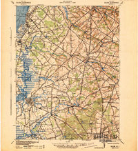 1941 Salem1941 Print · USGSSalem County and the Delaware River waterfront appear here in the early 1940s, just as industrial and wartime infrastructure began to reshape the landscape. Genealogists and local historians can trace family roots through old landmarks like Porches Mill, Yorktown PO, and the Wilmington Ferry route.
 - 1942 Map of Camden
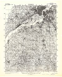 1942 Camden1942 Print · USGSThe Philadelphia and Camden metropolitan corridor is captured here at the height of the Second World War. Genealogists and historians can trace rail networks like the Reading R.R. and locate communities from Swedesboro to Merchantville.
 - 1946 Map of Wilmington, 1948 Print
 1946 Wilmington1948 Print · USGSThe Delaware Valley and Jersey Shore emerge in this mid-century portrait of a region defined by river commerce and seaside growth. Genealogists and historians can trace the rail networks of the Pennsylvania Railroad, locate early airfields like Dover Airpark, and find river defenses at Fort Delaware.2 unique versions available
 - 1948 Map of Glassboro
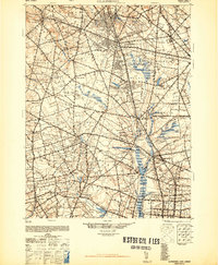 1948 Glassboro1948 Print · USGSSouth Jersey's agricultural heartland and transit corridors are captured here just after the war, showing the area's transition into a modern produce hub. Genealogists can trace family names and small settlements like Brotmanville, Husted Station, and Seabrook Farms.3 unique versions available
 - 1948 Map of Salem
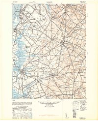 1948 Salem1948 Print · USGSSouth Jersey at the dawn of the atomic age is a landscape of thriving mill towns and vital river commerce. Genealogists and historians can trace the rail corridors of the Pennsylvania Reading Seashore Lines or locate family sites near Russels Mill and Hancocks Bridge.3 unique versions available
 - 1948 Map of Salem, 1958 Print
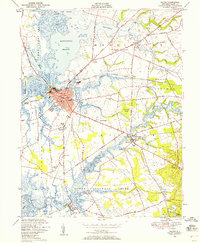 1948 Salem1958 Print · USGSSalem and its surrounding marshlands are captured here in the late 1940s as a thriving hub of river commerce and rail transport. Genealogists and local historians can trace family-named sites and rural institutions from Evergreen Cem to the Town Hall Sch and Hancocks Bridge.5 unique versions available
 - 1951 Map of Salem
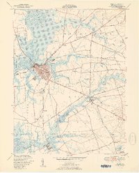 1951 Salem1951 Print · USGSMid-century Salem County is a landscape of tidal meadows and historic crossings at the height of its rail-and-river economy. Genealogists and local historians can trace family-named sites from Majors Wharf to Hancocks Bridge and the Evergreen Cem.2 unique versions available
 - 1953 Map of Elmer, 1954 Print
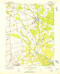 1953 Elmer1954 Print · USGSSalem County’s agricultural and rail-dependent heartland is captured in the early fifties during a peak of rural development. Researchers can trace family roots through the Monroeville Synagogue, Chestnut Grove Cem, and the specialized settlements at Seabrook and Deerfield Street.5 unique versions available
 - 1955 Map of Wilmington
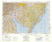 1955 Wilmington1955 Print · USGSThe Delaware Valley and Jersey Shore are seen here during the mid-fifties era of rapid suburban expansion and highway development. You can trace the path of the New Jersey Turnpike, locate the Fort Dix Military Reservation, or explore the rail networks of the Pennsylvania Railroad.
 - 1955 Map of Alloway, 1956 Print
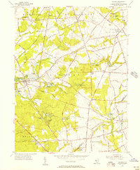 1955 Alloway1956 Print · USGSMid-century Salem County is defined here by its intricate millpond system and rural hamlets. Researchers can trace family sites at Yorktown, Daretown, and Friesburg, or locate historic landmarks like Mt Zion Cem and Fox Mill.3 unique versions available
 - 1957 Map of Wilmington
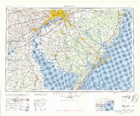 1957 Wilmington1957 Print · USGSThe mid-Atlantic coastal plain comes alive in the mid-fifties as the New Jersey Turnpike and Garden State Parkway redefine travel. Researchers can trace the rail-to-road transition and find landmarks like Ship John Shoal Light and the Fort Dix Military Reservation.2 unique versions available
 - 1959 Map of Wilmington
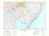 1959 Wilmington1959 Print · USGSThe Delaware Valley and Jersey Shore are seen here in the late fifties, during a period of massive suburban and highway expansion. Researchers can trace mid-century infrastructure like the N J Turnpike or locate coastal landmarks from Barnegat Bay to the Maurice River.3 unique versions available
 - 1966 Map of Wilmington, 1968 Print
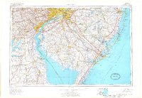 1966 Wilmington1968 Print · USGSThe Delaware Valley and Jersey Shore are seen here in the mid-1960s, documenting a landscape of dense industrial cities and emerging coastal resorts. Researchers can trace the sprawling rail networks of the Pennsylvania Railroad or locate landmarks like Fort Dix Military Reservation and Elk Neck State Park.4 unique versions available
 - 1972 Map of Wilmington, 1976 Print
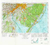 1972 Wilmington1976 Print · USGSThe Delaware Valley and Jersey Shore are seen here in the 1970s, showcasing the region's dense transport networks and vast state forests. Trace early coastal development near Atlantic City or locate rural landmarks like Mount Holly and Dover Air Force Base.2 unique versions available
 - 1984 Map of Wilmington, 1986 Print
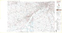 1984 Wilmington1986 Print · USGSThe Delaware Valley in the mid-eighties was a powerhouse of transit and industry where Delaware, New Jersey, Pennsylvania, and Maryland meet. Researchers can trace the sprawling rail networks of SEPTA and PATCO or locate historic sites like Fort Delaware State Park and Valley Forge State Forest.2 unique versions available
 - 1995 Map of Salem, 1999 Print
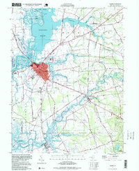 1995 Salem1999 Print · USGSThe riverfront and marshlands of Salem County are detailed in the mid-1990s, capturing a landscape of tidal meadows and historic villages. Local historians can locate landmarks like Majors Wharf, Evergreen Cem, and the Wyncoop Sch.
 - 2011 Map of Alloway, 2011 Print
 2011 Alloway2011 Print · USGSSouthern New Jersey's rural landscape at the start of the 2010s shows a region deeply connected to its waterways and agricultural roots. Genealogists and historians can trace family-named corners and historical mill sites like Ballingers Mill, Cobbs Mill, and Pecks Corner.
 - 2011 Map of Salem, 2011 Print
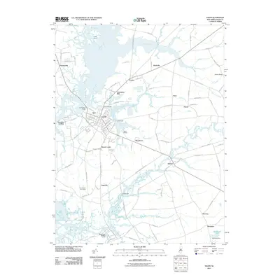 2011 Salem2011 Print · USGSCoastal New Jersey life is documented here in the early twenty-first century, centered on the historic river port of Salem. Researchers can locate family landmarks like Evergreen Cemetery and trace old industrial sites such as Mannington Mills and Majors Wharf.
 - 2011 Map of Elmer, 2011 Print
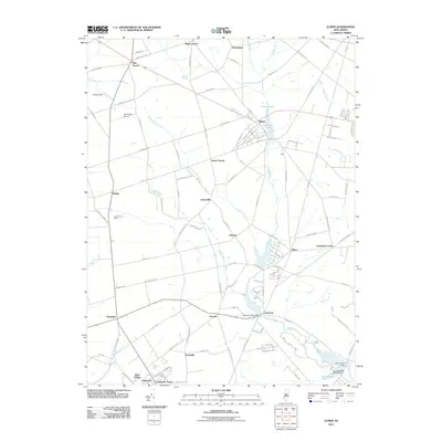 2011 Elmer2011 Print · USGSAgricultural heritage and small-town networks define this South Jersey landscape in the early twenty-first century. Researchers can trace historic junctions and rural industry through sites like Pole Tavern, Seabrook Farms, and the waters of Elmer Lake.
 - 2014 Map of Elmer, 2014 Print
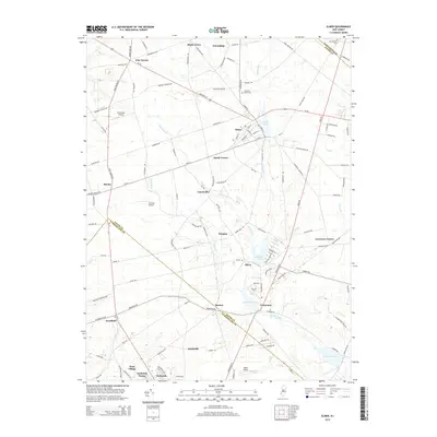 2014 Elmer2014 Print · USGSSouthern New Jersey's farm country and historic crossroads are captured in the early twenty-first century as they span three county lines. Genealogists can trace family roots at Chestnut Grove Cem and locate rural landmarks like Seabrook Farms or Pole Tavern.
Showing maps 1-25 of 36
Top cities near Alloway Township
- Wilmington historical maps
- Washington Township historical maps
- Deptford Township historical maps
- Millville historical maps
- Bridgeton historical maps
- Glassboro historical maps
See more
Top neighborhoods of Alloway Township
- Alloway Junction historical maps
- Ballingers Mill historical maps
- Cohansey historical maps
- Mowers historical maps
- Paradise Lakes historical maps
- Watson Corner historical maps
See more
Frequently asked questions
- What are the different types of historical maps available for Alloway Township?
- What is the oldest map of Alloway Township?
- Where can I purchase historical maps of Alloway Township for my home or office?
- Where can I download high-res historical maps of Alloway Township?
- Are there historical topographic maps available for Alloway Township?
- Is there historical aerial imagery available for Alloway Township?
- Where are historical maps of Alloway Township sourced from?