2000s (21st Century) Maps of Carneys Point Township, New Jersey
Explore 11 historic maps of Carneys Point Township from the 2000s (21st Century). These maps offer a rare glimpse into what life looked like during the 2000s — showing old roads, neighborhoods, homes, and landmarks that have changed or disappeared over time.
Whether you're researching your family's past, planning a metal detecting trip, or studying how Carneys Point Township's landscape evolved across the 2000s, these high-resolution maps are a powerful tool for exploring the history of this region.
- Focus on a specific era: All maps on this page are from the 2000s, giving you a focused view of this time period.
- See what’s changed: Compare century-old streets, trails, and buildings to today's modern landscape using overlays and satellite layers.
- Research with precision: Use these maps for genealogy, historical research, land use analysis, or educational projects.
- View, download, or print: Maps are fully viewable online in high resolution, and can be downloaded or printed for your own records.
Start exploring Carneys Point Township's history through authentic maps from the 2000s. This is your window into the past.
Carneys Point Township, NJ maps
(11)- 2011 Map of Penns Grove, 2011 Print
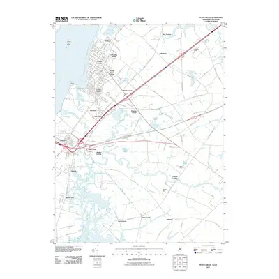 2011 Penns Grove2011 Print · USGSCovers Carneys Point Township, including Wilmington, Pennsville Township, and other nearby areas
 - 2011 Map of Wilmington South, 2011 Print
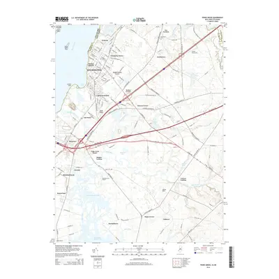
 2011 Wilmington South2011 Print · USGSCovers Carneys Point Township, including Wilmington, Pennsville Township, and other nearby areas
 - 2014 Map of Penns Grove, 2014 Print
 2014 Penns Grove2014 Print · USGSCovers Carneys Point Township, including Wilmington, Pennsville Township, and other nearby areas
 - 2014 Map of Wilmington South, 2014 Print
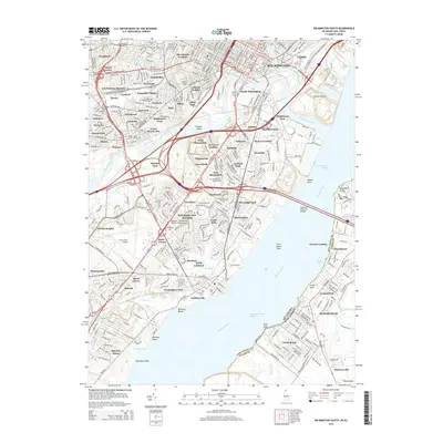 2014 Wilmington South2014 Print · USGSCovers Carneys Point Township, including Wilmington, Pennsville Township, and other nearby areas
 - 2016 Map of Wilmington South, 2016 Print
 2016 Wilmington South2016 Print · USGSCovers Carneys Point Township, including Wilmington, Pennsville Township, and other nearby areas
 - 2016 Map of Penns Grove, 2016 Print
 2016 Penns Grove2016 Print · USGSCovers Carneys Point Township, including Wilmington, Pennsville Township, and other nearby areas
 - 2019 Map of Penns Grove, 2019 Print
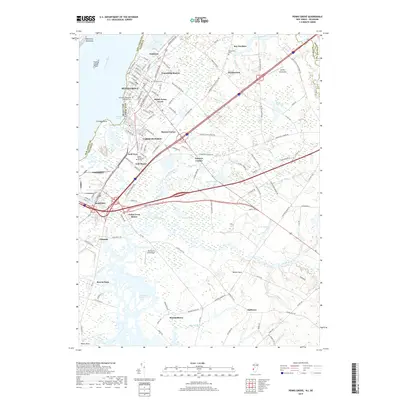 2019 Penns Grove2019 Print · USGSCovers Carneys Point Township, including Wilmington, Pennsville Township, and other nearby areas
 - 2019 Map of Wilmington South, 2019 Print
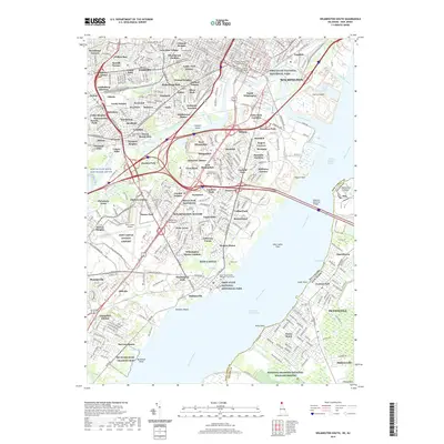 2019 Wilmington South2019 Print · USGSCovers Carneys Point Township, including Wilmington, Pennsville Township, and other nearby areas
 - 2023 Map of Marcus Hook, 2023 Print
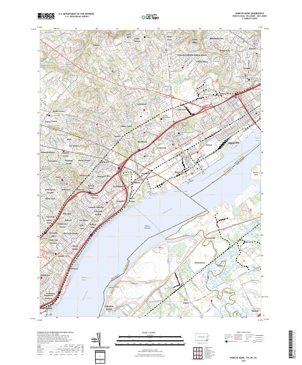 2023 Marcus Hook2023 Print · USGSThe industrial riverfront of Marcus Hook and the surrounding tri-state border region are shown here in modern detail. Researchers can locate numerous historic burial grounds including Old Saint Martins Episcopal Cem and Haven Memorial Cem among the neighborhoods of Garnet Valley and Linwood.
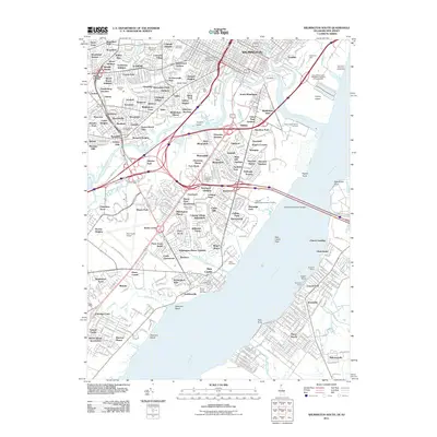
 - 2023 Map of Wilmington South, 2023 Print
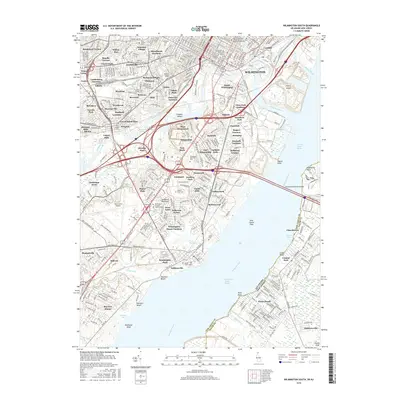
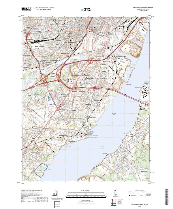 2023 Wilmington South2023 Print · USGSWilmington and New Castle are shown in high detail during the early 2020s, highlighting the dense urban and industrial layers of Northern Delaware. Researchers can trace deep family roots at Old Swedes Churchyard Cem, Cathedral Cem, and Glebe Cem.
 - 2023 Map of Penns Grove, 2023 Print
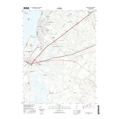
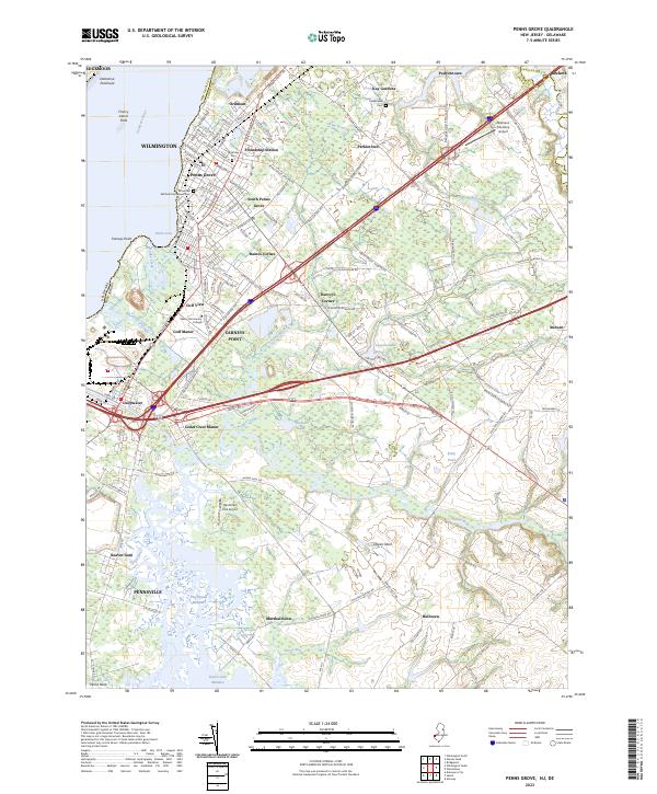 2023 Penns Grove2023 Print · USGSSalem County’s riverfront comes into focus during this modern era, showing the industrial and residential development along the Delaware River. Researchers can trace family sites at Riverview Cem, explore the crossroads of Danceys Corner, or locate the Oldmans Township Airport.
End of results
Showing maps 1-11 of 11
Top cities near Carneys Point Township
- Philadelphia historical maps
- Upper Darby historical maps
- Wilmington historical maps
- Chester historical maps
- Marple Township historical maps
- Springfield Township historical maps
See more
Top neighborhoods of Carneys Point Township
- Cedar Crest Manor historical maps
- Danceys Corner historical maps
- Golf Manor historical maps
- Golf View historical maps
- Ordmont historical maps
- Biddles Landing historical maps
See more
Frequently asked questions
- What are the different types of historical maps available for Carneys Point Township?
- What is the oldest map of Carneys Point Township?
- Where can I purchase historical maps of Carneys Point Township for my home or office?
- Where can I download high-res historical maps of Carneys Point Township?
- Are there historical topographic maps available for Carneys Point Township?
- Is there historical aerial imagery available for Carneys Point Township?
- Where are historical maps of Carneys Point Township sourced from?