2000s (21st Century) Maps of Elsinboro Township, New Jersey
Explore 15 historic maps of Elsinboro Township from the 2000s (21st Century). These maps offer a rare glimpse into what life looked like during the 2000s — showing old roads, neighborhoods, homes, and landmarks that have changed or disappeared over time.
Whether you're researching your family's past, planning a metal detecting trip, or studying how Elsinboro Township's landscape evolved across the 2000s, these high-resolution maps are a powerful tool for exploring the history of this region.
- Focus on a specific era: All maps on this page are from the 2000s, giving you a focused view of this time period.
- See what’s changed: Compare century-old streets, trails, and buildings to today's modern landscape using overlays and satellite layers.
- Research with precision: Use these maps for genealogy, historical research, land use analysis, or educational projects.
- View, download, or print: Maps are fully viewable online in high resolution, and can be downloaded or printed for your own records.
Start exploring Elsinboro Township's history through authentic maps from the 2000s. This is your window into the past.
Elsinboro Township, NJ maps
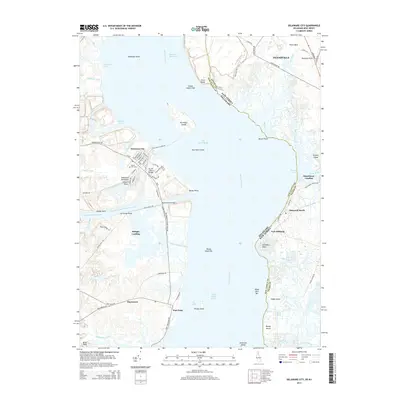
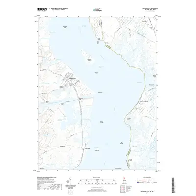
(15)- 2011 Map of Delaware City, 2011 Print
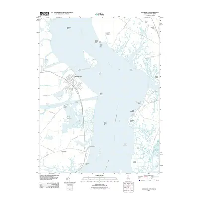 2011 Delaware City2011 Print · USGSCovers Elsinboro Township, including Pennsville Township, Lower Alloways Creek Township, and other nearby areas
 - 2011 Map of Salem, 2011 Print
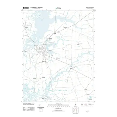 2011 Salem2011 Print · USGSCovers Elsinboro Township, including Pennsville Township, Salem, and other nearby areas
 - 2011 Map of Taylors Bridge, 2011 Print
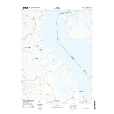
 2011 Taylors Bridge2011 Print · USGSCovers Elsinboro Township, including Lower Alloways Creek Township, The Island, and other nearby areas
 - 2014 Map of Salem, 2014 Print
 2014 Salem2014 Print · USGSCovers Elsinboro Township, including Pennsville Township, Salem, and other nearby areas
 - 2014 Map of Taylors Bridge, 2014 Print
 2014 Taylors Bridge2014 Print · USGSCovers Elsinboro Township, including Lower Alloways Creek Township, The Island, and other nearby areas
 - 2014 Map of Delaware City, 2014 Print
 2014 Delaware City2014 Print · USGSCovers Elsinboro Township, including Pennsville Township, Lower Alloways Creek Township, and other nearby areas
 - 2016 Map of Salem, 2016 Print
 2016 Salem2016 Print · USGSCovers Elsinboro Township, including Pennsville Township, Salem, and other nearby areas
 - 2016 Map of Taylors Bridge, 2016 Print
 2016 Taylors Bridge2016 Print · USGSCovers Elsinboro Township, including Lower Alloways Creek Township, The Island, and other nearby areas
 - 2016 Map of Delaware City, 2016 Print
 2016 Delaware City2016 Print · USGSCovers Elsinboro Township, including Pennsville Township, Lower Alloways Creek Township, and other nearby areas
 - 2019 Map of Salem, 2019 Print
 2019 Salem2019 Print · USGSCovers Elsinboro Township, including Pennsville Township, Salem, and other nearby areas
 - 2019 Map of Taylors Bridge, 2019 Print
 2019 Taylors Bridge2019 Print · USGSCovers Elsinboro Township, including Lower Alloways Creek Township, The Island, and other nearby areas
 - 2019 Map of Delaware City, 2019 Print
 2019 Delaware City2019 Print · USGSCovers Elsinboro Township, including Pennsville Township, Lower Alloways Creek Township, and other nearby areas
 - 2023 Map of Taylors Bridge, 2023 Print
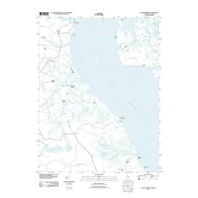
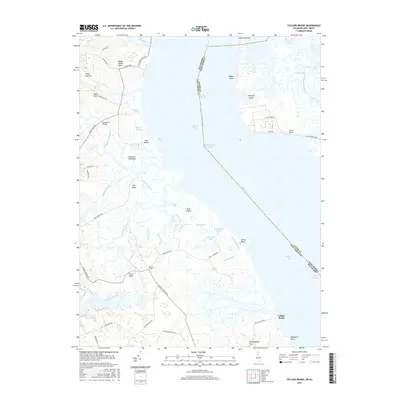
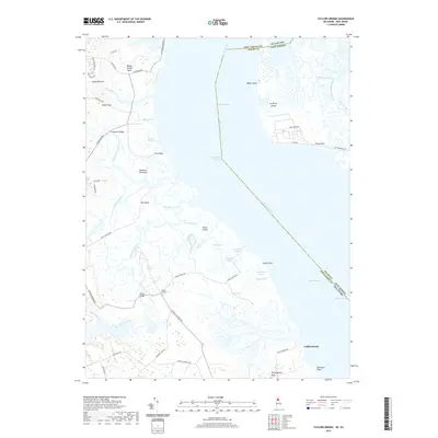
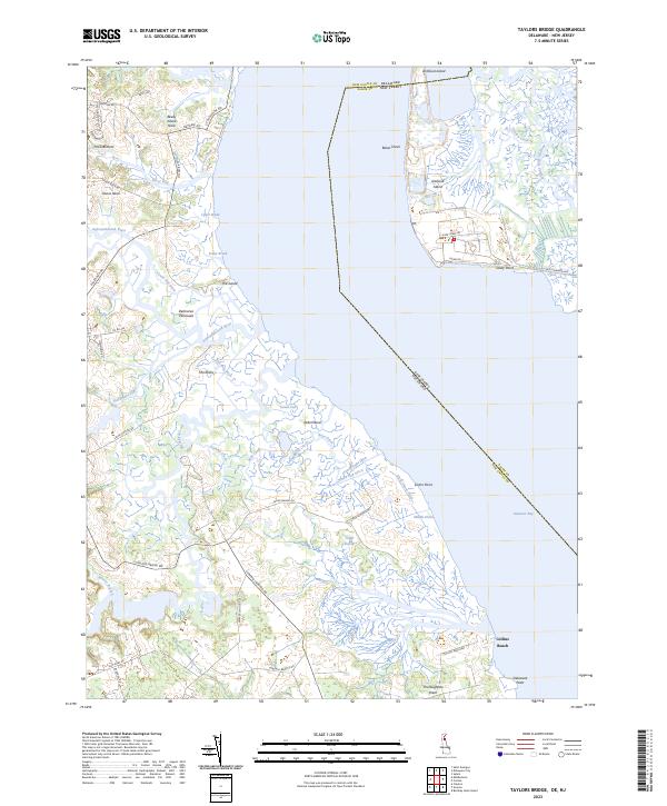 2023 Taylors Bridge2023 Print · USGSThe coastal wetlands of New Castle County are charted here in the twenty-first century, showing the complex marshlands where the Appoquinimink River meets the bay. Researchers can trace land patterns at Vance Neck, Collins Beach, and along Blackbird Creek.
 - 2023 Map of Delaware City, 2023 Print
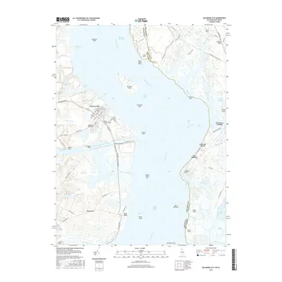
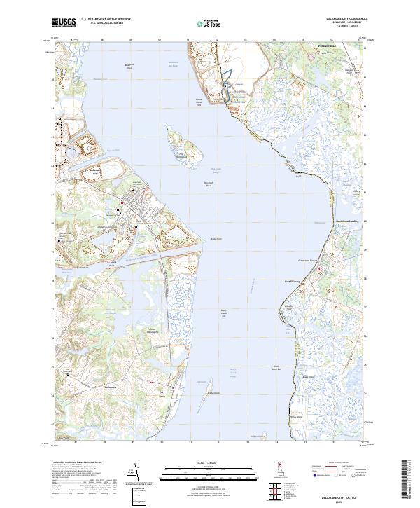 2023 Delaware City2023 Print · USGSCoastal Delaware and New Jersey meet at the mouth of the Delaware River in this recent survey. Researchers can trace historic cemeteries and maritime landmarks including Finn's Point National Cem, Pea Patch Island, and the vital Chesapeake and Delaware Canal.
 - 2023 Map of Salem, 2023 Print
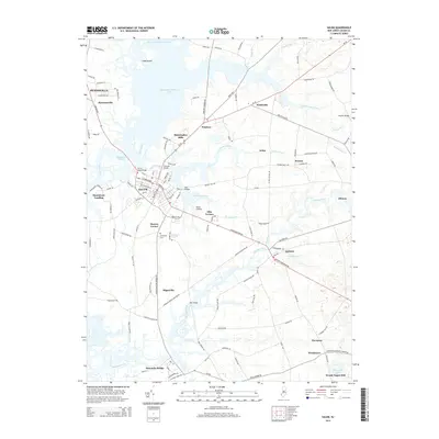
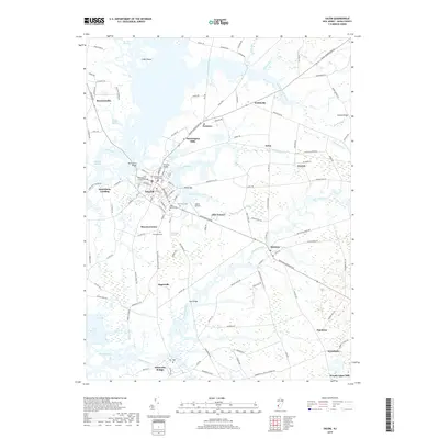
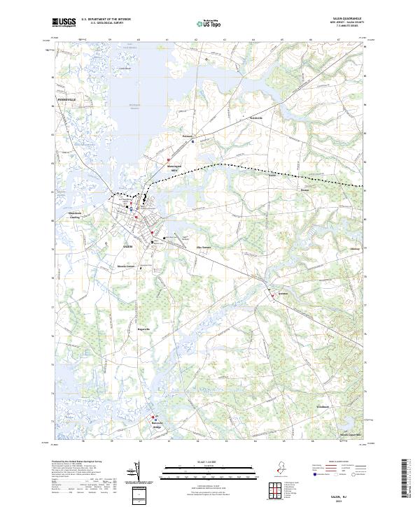 2023 Salem2023 Print · USGSSalem and its surrounding coastal meadows are captured here in the early twenty-first century as the historic county seat continues to anchor the region. Genealogists and local historians can trace landmarks like Evergreen Cemetery, the Salem County Courthouse, and the outskirts of Hancocks Bridge.
End of results
Showing maps 1-15 of 15
Top cities near Elsinboro Township
- Wilmington historical maps
- Pennsville Township historical maps
- Smyrna historical maps
- New Garden Township historical maps
- Middletown historical maps
- Wilmington Manor historical maps
See more
Top neighborhoods of Elsinboro Township
- Moores Corner historical maps
- Oakwood Beach historical maps
- Sinnickson Landing historical maps
- Fort Elfsborg historical maps
Frequently asked questions
- What are the different types of historical maps available for Elsinboro Township?
- What is the oldest map of Elsinboro Township?
- Where can I purchase historical maps of Elsinboro Township for my home or office?
- Where can I download high-res historical maps of Elsinboro Township?
- Are there historical topographic maps available for Elsinboro Township?
- Is there historical aerial imagery available for Elsinboro Township?
- Where are historical maps of Elsinboro Township sourced from?