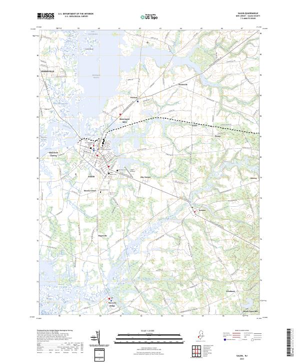
2023 Map of Salem
USGS Topo · Published 2023About this map
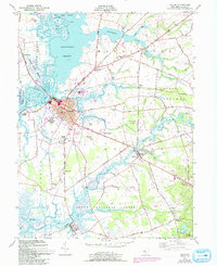
The Salem County Courthouse stands as the focal point of this coastal landscape, where the historic city center meets the winding waters of the Salem River. This modern survey details a complex geography of marshlands and meadows, including Mannington Meadow and Supawna Meadows, which define the area's low-lying character. The map illustrates a network of small settlements and industrial points like Mannington Mills and Hancocks Bridge, connected by historic corridors such as Kings Hwy. Cultural sites are well-documented, from the First Presbyterian Church to several burial grounds like Evergreen Cemetery and Salem Baptist Cemetery. The distribution of legacy names such as Sinnickson Landing and Woods Upper Mill alongside the Salem Airfield reflects a region where colonial-era foundations and early maritime industry continue to shape the modern layout of Salem County.
Find a feature on this map
125 named features on this map. Tap any name to fly to it.
Don’t see what you’re looking for? This feature index may not catch every label — zoom into the map to look around manually.
Map Details
Editions of this 2023 Salem Map
This is the sole edition of this map. No revisions or reprints were ever made.
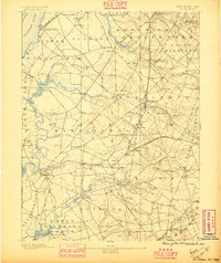
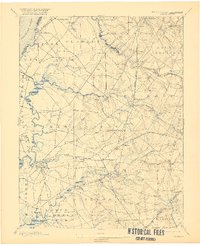
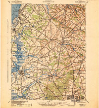
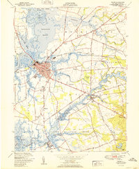
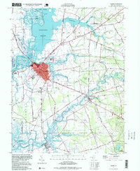
Historical Maps of Elsinboro Township Through Time
8 maps found
Featured Locations
- Lower Alloways Creek Township, NJ
- Pennsville Township, NJ
- Quinton Township, NJ
- Salem, NJ
- Alloway Township, NJ