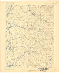
1898 Map of Salem
USGS Topo · Published 1921About this map
Salem Branch and the West Jersey and Seashore railroads bisect the fertile lowlands of Salem County in this late 19th-century survey. The landscape is defined by the winding course of Salem Creek and its many tributaries, including Mannington Creek and Fenwick Creek, which drain into the Delaware River. This era shows a network of established agricultural villages and rural junctions such as Sharptown, Woodstown, and Yorktown, alongside numerous family-named landmarks like Lippincott, Bassett, and Eldridge.
Find a feature on this map
103 named features on this map. Tap any name to fly to it.
Don’t see what you’re looking for? This feature index may not catch every label — zoom into the map to look around manually.
Map Details
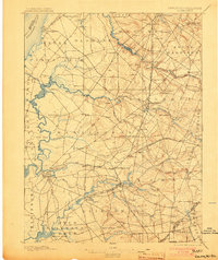
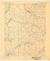
Editions of this 1898 Salem Map
4 editions found

Other maps of this area

1890 · Salem
USGS Topo · 1:62,500

1890 · Bay Side
USGS Topo · 1:62,500

1890 · Bridgeton
USGS Topo · 1:62,500

1890 · Glassboro
USGS Topo · 1:62,500

1891 · Philadelphia
USGS Topo · 1:62,500

1894 · Bay Side
USGS Topo · 1:62,500

1894 · Bridgeton
USGS Topo · 1:62,500

1894 · Chester
USGS Topo · 1:62,500

1894 · Philadelphia
USGS Topo · 1:62,500

1896 · Philadelphia
USGS Topo · 1:62,500