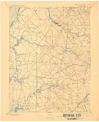
1898 Map of Salem
USGS Topo · Published 1911About this map
Agricultural lands and tidal marshes define this region of Salem and Gloucester counties as surveyed in the late nineteenth century. The Salem Canal and several branches of the W. J. and S. R. R. network, including the Salem Branch and West Jersey and Seashore line, highlight a landscape transitioning between water-based and rail-based commerce. Numerous small milling sites and crossroads settlements like Sharptown, Woodstown, and Harrisonville are established along the winding tributaries of Oldmans Creek and Alloway Creek.
Find a feature on this map
90 named features on this map. Tap any name to fly to it.
Don’t see what you’re looking for? This feature index may not catch every label — zoom into the map to look around manually.
Map Details
Editions of this 1898 Salem Map
4 editions found

Other maps of this area

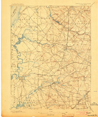
1890 · Salem
USGS Topo · 1:62,500

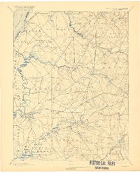
1890 · Bay Side
USGS Topo · 1:62,500

1890 · Bridgeton
USGS Topo · 1:62,500

1890 · Glassboro
USGS Topo · 1:62,500

1891 · Philadelphia
USGS Topo · 1:62,500

1894 · Bay Side
USGS Topo · 1:62,500

1894 · Bridgeton
USGS Topo · 1:62,500

1894 · Chester
USGS Topo · 1:62,500

1894 · Philadelphia
USGS Topo · 1:62,500

1896 · Philadelphia
USGS Topo · 1:62,500