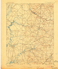
1898 Map of Salem
USGS Topo · Published 1903About this map
The Delaware River defines the western edge of this landscape, where the tidal marshes of Lower Penns Neck meet the inland agricultural reaches of Salem County. Surveyed by C. C. Vermeule in the late 19th century, the map reveals a mature transport network dominated by the W. J. and S. R. R. and the Salem Branch, which connected rural hubs like Woodstown and Point Airy Station to regional markets. The interior is a web of family-named settlements and small industrial sites, including Avis Mills and Course Landing, suggesting an era when local waterpower and creek-side landings were vital to the local economy.
Find a feature on this map
97 named features on this map. Tap any name to fly to it.
Don’t see what you’re looking for? This feature index may not catch every label — zoom into the map to look around manually.
Map Details
Editions of this 1898 Salem Map
4 editions found

Other maps of this area

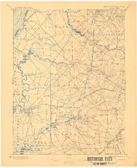
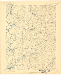
1890 · Salem
USGS Topo · 1:62,500

1890 · Bay Side
USGS Topo · 1:62,500

1890 · Bridgeton
USGS Topo · 1:62,500

1890 · Glassboro
USGS Topo · 1:62,500

1891 · Philadelphia
USGS Topo · 1:62,500

1894 · Bay Side
USGS Topo · 1:62,500

1894 · Bridgeton
USGS Topo · 1:62,500

1894 · Chester
USGS Topo · 1:62,500

1894 · Philadelphia
USGS Topo · 1:62,500

1896 · Philadelphia
USGS Topo · 1:62,500