2000s (21st Century) Maps of Hardyston Township, New Jersey
Explore 25 historic maps of Hardyston Township from the 2000s (21st Century). These maps offer a rare glimpse into what life looked like during the 2000s — showing old roads, neighborhoods, homes, and landmarks that have changed or disappeared over time.
Whether you're researching your family's past, planning a metal detecting trip, or studying how Hardyston Township's landscape evolved across the 2000s, these high-resolution maps are a powerful tool for exploring the history of this region.
- Focus on a specific era: All maps on this page are from the 2000s, giving you a focused view of this time period.
- See what’s changed: Compare century-old streets, trails, and buildings to today's modern landscape using overlays and satellite layers.
- Research with precision: Use these maps for genealogy, historical research, land use analysis, or educational projects.
- View, download, or print: Maps are fully viewable online in high resolution, and can be downloaded or printed for your own records.
Start exploring Hardyston Township's history through authentic maps from the 2000s. This is your window into the past.
Hardyston Township, NJ maps
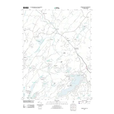
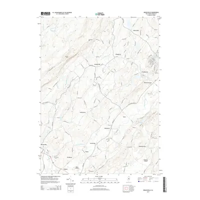
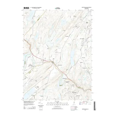
(25)- 2011 Map of Newfoundland, 2011 Print
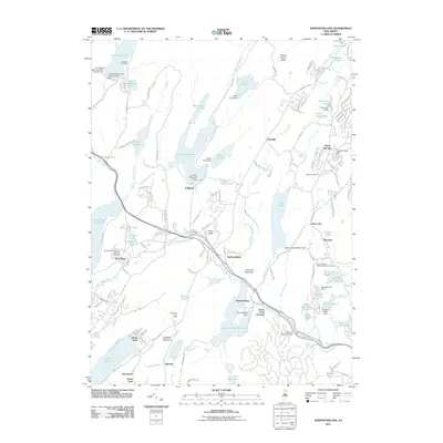 2011 Newfoundland2011 Print · USGSCovers Hardyston Township, including West Milford, Vernon Township, and other nearby areas
 - 2011 Map of Hamburg, 2011 Print
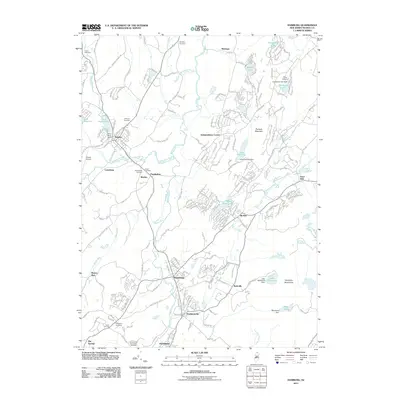 2011 Hamburg2011 Print · USGSCovers Hardyston Township, including Vernon Township, Wantage, and other nearby areas
 - 2011 Map of Branchville, 2011 Print
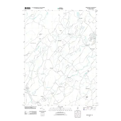 2011 Branchville2011 Print · USGSCovers Hardyston Township, including Wantage, Montague Township, and other nearby areas
 - 2011 Map of Franklin, 2011 Print
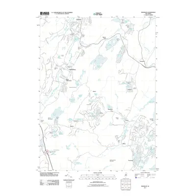 2011 Franklin2011 Print · USGSCovers Hardyston Township, including West Milford, Vernon Township, and other nearby areas
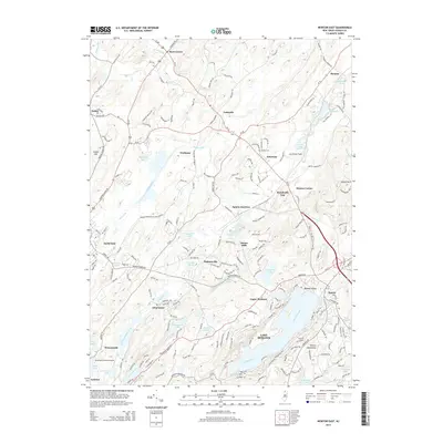
 - 2011 Map of Newton East, 2011 Print
 2011 Newton East2011 Print · USGSCovers Hardyston Township, including Sparta Township, Newton, and other nearby areas
 - 2014 Map of Hamburg, 2014 Print
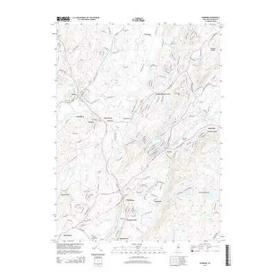 2014 Hamburg2014 Print · USGSCovers Hardyston Township, including Vernon Township, Wantage, and other nearby areas
 - 2014 Map of Franklin, 2014 Print
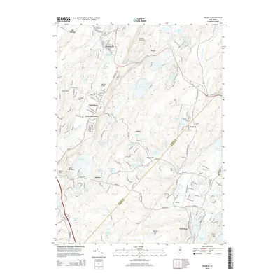 2014 Franklin2014 Print · USGSCovers Hardyston Township, including West Milford, Vernon Township, and other nearby areas
 - 2014 Map of Branchville, 2014 Print
 2014 Branchville2014 Print · USGSCovers Hardyston Township, including Wantage, Montague Township, and other nearby areas
 - 2014 Map of Newton East, 2014 Print
 2014 Newton East2014 Print · USGSCovers Hardyston Township, including Sparta Township, Newton, and other nearby areas
 - 2014 Map of Newfoundland, 2014 Print
 2014 Newfoundland2014 Print · USGSCovers Hardyston Township, including West Milford, Vernon Township, and other nearby areas
 - 2016 Map of Newton East, 2016 Print
 2016 Newton East2016 Print · USGSCovers Hardyston Township, including Sparta Township, Newton, and other nearby areas
 - 2016 Map of Branchville, 2016 Print
 2016 Branchville2016 Print · USGSCovers Hardyston Township, including Wantage, Montague Township, and other nearby areas
 - 2016 Map of Franklin, 2016 Print
 2016 Franklin2016 Print · USGSCovers Hardyston Township, including West Milford, Vernon Township, and other nearby areas
 - 2016 Map of Newfoundland, 2016 Print
 2016 Newfoundland2016 Print · USGSCovers Hardyston Township, including West Milford, Vernon Township, and other nearby areas
 - 2016 Map of Hamburg, 2016 Print
 2016 Hamburg2016 Print · USGSCovers Hardyston Township, including Vernon Township, Wantage, and other nearby areas
 - 2019 Map of Newfoundland, 2019 Print
 2019 Newfoundland2019 Print · USGSCovers Hardyston Township, including West Milford, Vernon Township, and other nearby areas
 - 2019 Map of Branchville, 2019 Print
 2019 Branchville2019 Print · USGSCovers Hardyston Township, including Wantage, Montague Township, and other nearby areas
 - 2019 Map of Newton East, 2019 Print
 2019 Newton East2019 Print · USGSCovers Hardyston Township, including Sparta Township, Newton, and other nearby areas
 - 2019 Map of Hamburg, 2019 Print
 2019 Hamburg2019 Print · USGSCovers Hardyston Township, including Vernon Township, Wantage, and other nearby areas
 - 2019 Map of Franklin, 2019 Print
 2019 Franklin2019 Print · USGSCovers Hardyston Township, including West Milford, Vernon Township, and other nearby areas
 - 2023 Map of Newton East, 2023 Print
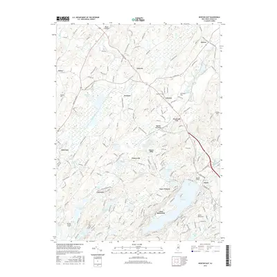
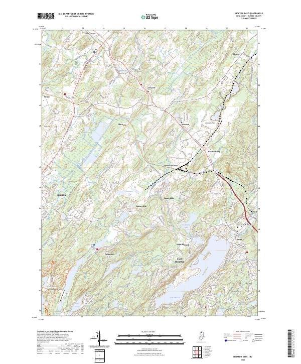 2023 Newton East2023 Print · USGSSussex County’s highlands and lake communities are captured here in the early twenty-first century, showing the evolution of the area’s rail and road networks. Researchers can trace old routes and family sites near Pinkneyville, Vaughn Cem, and Sussex Mills.
 - 2023 Map of Newfoundland, 2023 Print
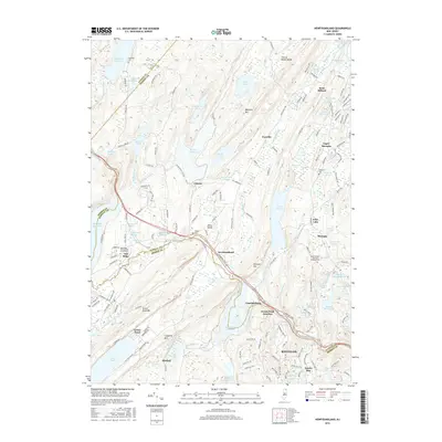
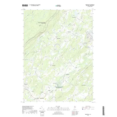
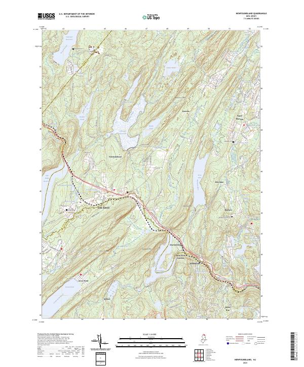 2023 Newfoundland2023 Print · USGSThe Highlands of Passaic and Morris Counties are shown here in the 2020s, a landscape shaped by massive reservoirs and deep-rooted mountain settlements. Researchers can trace the heritage of local families at Vreeland Cem or the Oak Ridge Presbyterian Church, and locate the site of Green Pond Junction.
 - 2023 Map of Hamburg, 2023 Print
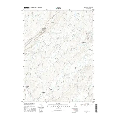
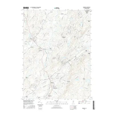
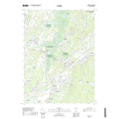
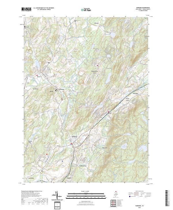 2023 Hamburg2023 Print · USGSSussex County's valley corridors and ridge lines are meticulously detailed in this recent survey of the Hamburg and Sussex area. Genealogists and local historians can trace legacy sites from Old Clove Church Cem to the old hamlets of Rudeville and McAfee.
 - 2023 Map of Franklin, 2023 Print
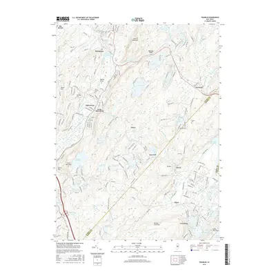
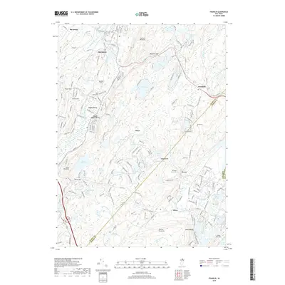
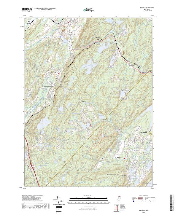 2023 Franklin2023 Print · USGSThe Wallkill Valley and Hamburg Mountains are shown in the early twenty-first century, featuring a landscape of industrial mines and lakeside communities. Trace the rail lines of the New York, Susquehanna and Western Railway and find the site of the Sterling Mine or Saint Thomas Cem.
 - 2023 Map of Branchville, 2023 Print
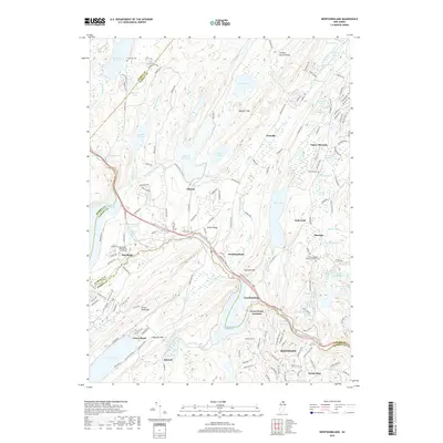
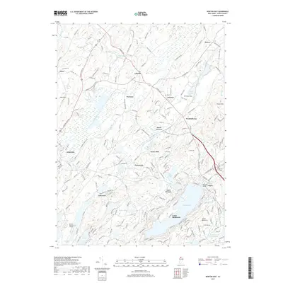
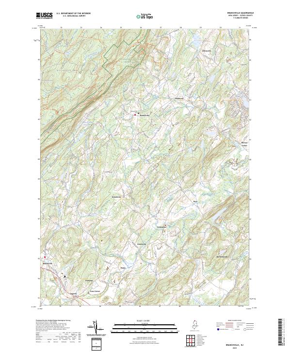 2023 Branchville2023 Print · USGSSussex County highlands and the Wallkill River valley meet in this modern survey of the New Jersey backcountry. Local historians can trace family locations near Beemerville Cem, the crossroads at Ross Corner, and the headwaters of the Papakating Creek.
End of results
Showing maps 1-25 of 25
Top cities near Hardyston Township
- Parsippany-Troy Hills historical maps
- Warwick historical maps
- Mount Olive historical maps
- West Milford historical maps
- Vernon Township historical maps
- Rockaway Township historical maps
See more
Top neighborhoods of Hardyston Township
- Beaver Lake historical maps
- Stockholm historical maps
- Rudeville historical maps
- Beaver Run historical maps
- Big Springs historical maps
- Franklin historical maps
See more
Frequently asked questions
- What are the different types of historical maps available for Hardyston Township?
- What is the oldest map of Hardyston Township?
- Where can I purchase historical maps of Hardyston Township for my home or office?
- Where can I download high-res historical maps of Hardyston Township?
- Are there historical topographic maps available for Hardyston Township?
- Is there historical aerial imagery available for Hardyston Township?
- Where are historical maps of Hardyston Township sourced from?