2000s (21st Century) Maps of Montague Township, New Jersey
Explore 20 historic maps of Montague Township from the 2000s (21st Century). These maps offer a rare glimpse into what life looked like during the 2000s — showing old roads, neighborhoods, homes, and landmarks that have changed or disappeared over time.
Whether you're researching your family's past, planning a metal detecting trip, or studying how Montague Township's landscape evolved across the 2000s, these high-resolution maps are a powerful tool for exploring the history of this region.
- Focus on a specific era: All maps on this page are from the 2000s, giving you a focused view of this time period.
- See what’s changed: Compare century-old streets, trails, and buildings to today's modern landscape using overlays and satellite layers.
- Research with precision: Use these maps for genealogy, historical research, land use analysis, or educational projects.
- View, download, or print: Maps are fully viewable online in high resolution, and can be downloaded or printed for your own records.
Start exploring Montague Township's history through authentic maps from the 2000s. This is your window into the past.
Montague Township, NJ maps
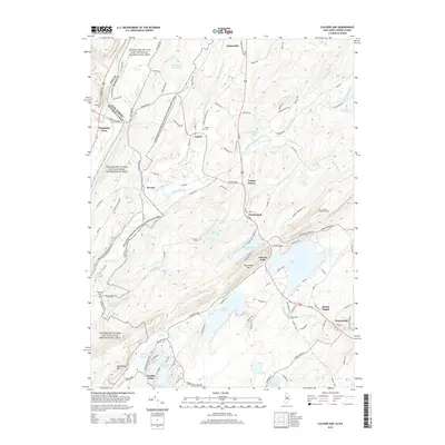
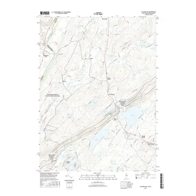
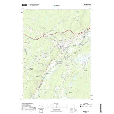
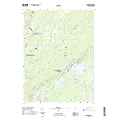
(20)- 2011 Map of Culvers Gap, 2011 Print
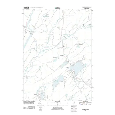 2011 Culvers Gap2011 Print · USGSCovers Montague Township, including Hampton Township, Stillwater Township, and other nearby areas
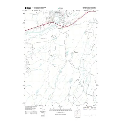
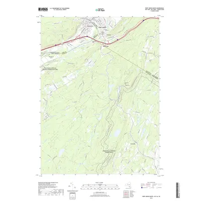
 - 2011 Map of Port Jervis South, 2011 Print
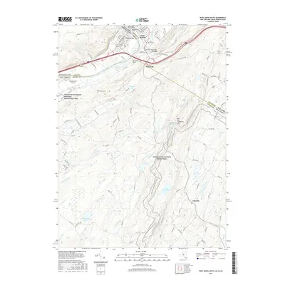
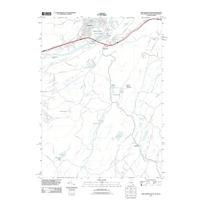 2011 Port Jervis South2011 Print · USGSCovers Montague Township, including Wantage, Port Jervis, and other nearby areas
 - 2011 Map of Branchville, 2011 Print
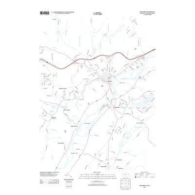
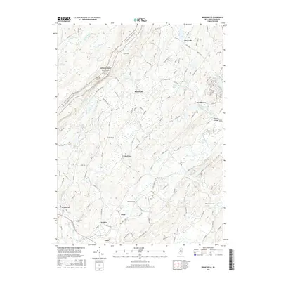
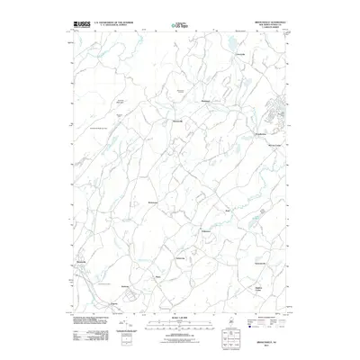 2011 Branchville2011 Print · USGSCovers Montague Township, including Wantage, Lafayette Township, and other nearby areas
 - 2011 Map of Milford, 2011 Print
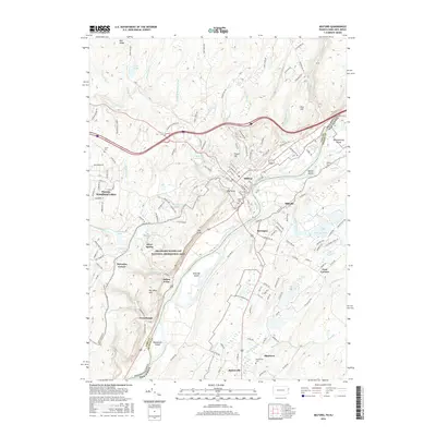
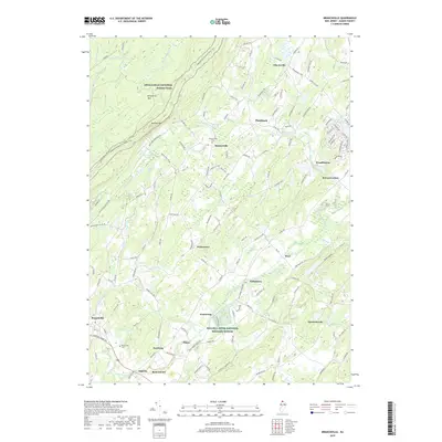
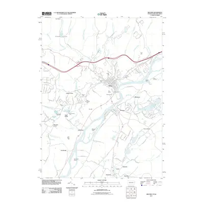 2011 Milford2011 Print · USGSCovers Montague Township, including Westfall Township, Milford Township, and other nearby areas
 - 2013 Map of Port Jervis South, 2013 Print
 2013 Port Jervis South2013 Print · USGSCovers Montague Township, including Wantage, Port Jervis, and other nearby areas
 - 2013 Map of Milford, 2013 Print
 2013 Milford2013 Print · USGSCovers Montague Township, including Westfall Township, Milford Township, and other nearby areas
 - 2014 Map of Branchville, 2014 Print
 2014 Branchville2014 Print · USGSCovers Montague Township, including Wantage, Lafayette Township, and other nearby areas
 - 2014 Map of Culvers Gap, 2014 Print
 2014 Culvers Gap2014 Print · USGSCovers Montague Township, including Hampton Township, Stillwater Township, and other nearby areas
 - 2016 Map of Milford, 2016 Print
 2016 Milford2016 Print · USGSCovers Montague Township, including Westfall Township, Milford Township, and other nearby areas
 - 2016 Map of Port Jervis South, 2016 Print
 2016 Port Jervis South2016 Print · USGSCovers Montague Township, including Wantage, Port Jervis, and other nearby areas
 - 2016 Map of Branchville, 2016 Print
 2016 Branchville2016 Print · USGSCovers Montague Township, including Wantage, Lafayette Township, and other nearby areas
 - 2016 Map of Culvers Gap, 2016 Print
 2016 Culvers Gap2016 Print · USGSCovers Montague Township, including Hampton Township, Stillwater Township, and other nearby areas
 - 2019 Map of Milford, 2019 Print
 2019 Milford2019 Print · USGSCovers Montague Township, including Westfall Township, Milford Township, and other nearby areas
 - 2019 Map of Port Jervis South, 2019 Print
 2019 Port Jervis South2019 Print · USGSCovers Montague Township, including Wantage, Port Jervis, and other nearby areas
 - 2019 Map of Branchville, 2019 Print
 2019 Branchville2019 Print · USGSCovers Montague Township, including Wantage, Lafayette Township, and other nearby areas
 - 2019 Map of Culvers Gap, 2019 Print
 2019 Culvers Gap2019 Print · USGSCovers Montague Township, including Hampton Township, Stillwater Township, and other nearby areas
 - 2023 Map of Milford, 2023 Print
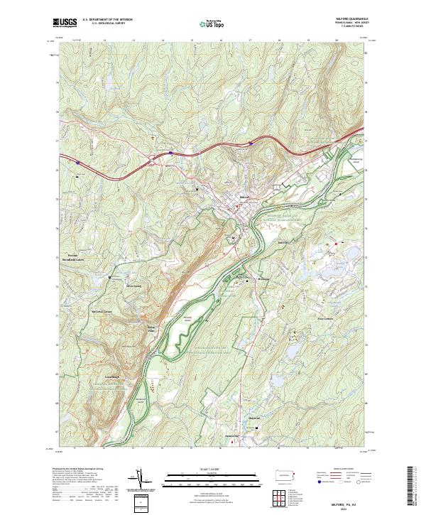 2023 Milford2023 Print · USGSThe Delaware River borderlands between Pennsylvania and New Jersey are shown here in the 2020s, anchored by the seat of Pike County. Researchers can locate family landmarks like Grey Towers, the Old Union Schoolhouse, and the Decker Cem.
 - 2023 Map of Port Jervis South, 2023 Print
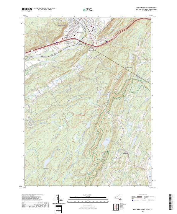 2023 Port Jervis South2023 Print · USGSThe tri-state border region comes alive in this survey, showcasing the meeting of the Delaware and Neversink rivers. Genealogists and local historians can trace legacy sites like Brink -Colesville Cem, Saint Marys Ch, and the settlement at Duttonville.
 - 2023 Map of Culvers Gap, 2023 Print
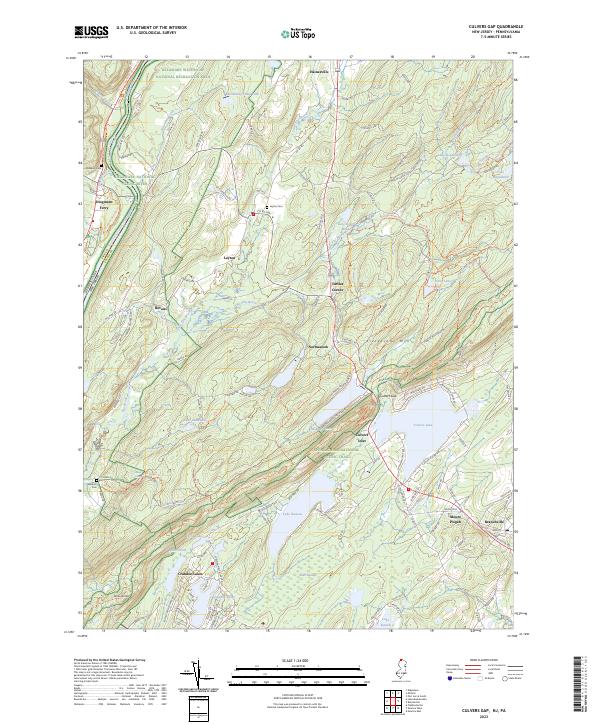 2023 Culvers Gap2023 Print · USGSSussex County in the 2020s remains a landscape of high ridges and glacial lakes along the Pennsylvania border. Genealogists and hikers can trace the Appalachian National Scenic Trail across Kittatinny Mtn or locate family sites at Wallpack Cem and Dingmans Ferry.
 - 2023 Map of Branchville, 2023 Print
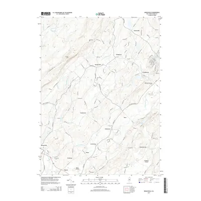
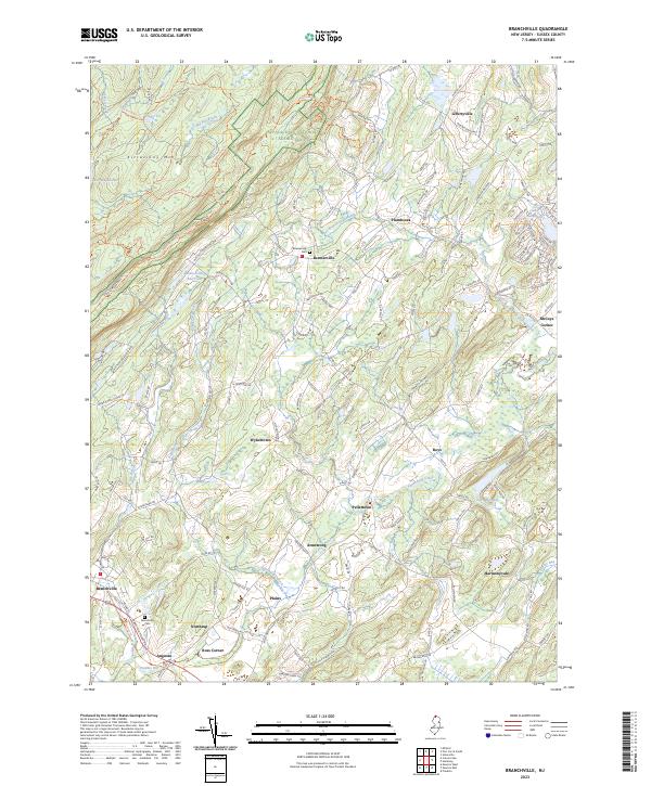 2023 Branchville2023 Print · USGSSussex County highlands and the Wallkill River valley meet in this modern survey of the New Jersey backcountry. Local historians can trace family locations near Beemerville Cem, the crossroads at Ross Corner, and the headwaters of the Papakating Creek.
End of results
Showing maps 1-20 of 20
Top cities near Montague Township
- Warwick historical maps
- Vernon Township historical maps
- Sparta Township historical maps
- Mamakating historical maps
- Wantage Township historical maps
- Wantage historical maps
See more
Top neighborhoods of Montague Township
Frequently asked questions
- What are the different types of historical maps available for Montague Township?
- What is the oldest map of Montague Township?
- Where can I purchase historical maps of Montague Township for my home or office?
- Where can I download high-res historical maps of Montague Township?
- Are there historical topographic maps available for Montague Township?
- Is there historical aerial imagery available for Montague Township?
- Where are historical maps of Montague Township sourced from?