2010s Maps of Frelinghuysen Township, New Jersey
Explore 16 historic maps of Frelinghuysen Township from the 2010s. These maps offer a rare glimpse into what life looked like during the 2010s — showing old roads, neighborhoods, homes, and landmarks that have changed or disappeared over time.
Whether you're researching your family's past, planning a metal detecting trip, or studying how Frelinghuysen Township's landscape evolved across the 2010s, these high-resolution maps are a powerful tool for exploring the history of this region.
- Focus on a specific era: All maps on this page are from the 2010s, giving you a focused view of this time period.
- See what’s changed: Compare century-old streets, trails, and buildings to today's modern landscape using overlays and satellite layers.
- Research with precision: Use these maps for genealogy, historical research, land use analysis, or educational projects.
- View, download, or print: Maps are fully viewable online in high resolution, and can be downloaded or printed for your own records.
Start exploring Frelinghuysen Township's history through authentic maps from the 2010s. This is your window into the past.
Frelinghuysen Township, NJ maps
(16)- 2011 Map of Tranquility, 2011 Print
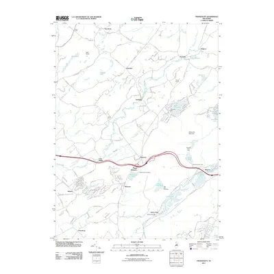 2011 Tranquility2011 Print · USGSThe river valleys of northern New Jersey are captured here in the early twenty-first century, showing the enduring character of its small hamlets. Researchers can locate the Quaker Church, trace the waters of Saxton Falls, and explore the terrain of Allamuchy Mountain.
 - 2011 Map of Blairstown, 2011 Print
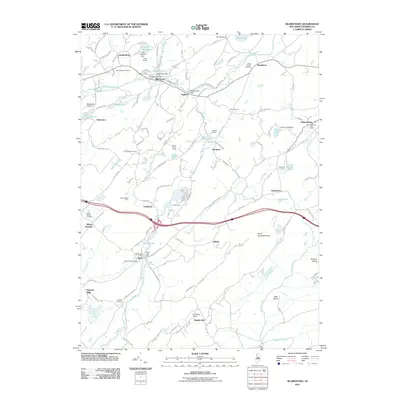 2011 Blairstown2011 Print · USGSWarren County at the start of the 2010s shows a landscape of deep-rooted settlements and early industrial history. Genealogists and historians can trace family plots at Moravian Cemetery or locate the site of the Kishpaugh Mines and Swayzes Mills.
 - 2011 Map of Newton West, 2011 Print
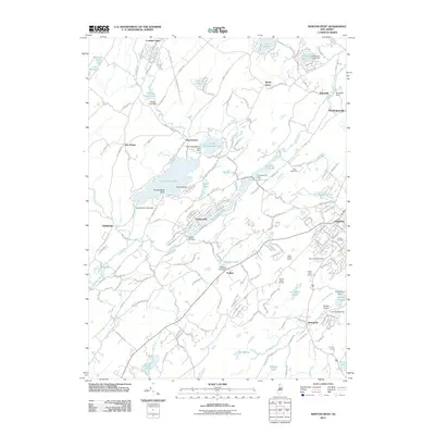 2011 Newton West2011 Print · USGSNewton and the surrounding Sussex County highlands appear here in the early twenty-first century, showing a landscape defined by its glacial lakes and river valleys. Researchers can locate Newton Cemetery, trace the Paulins Kill, and find rural landmarks like Windy Brow Orchard.
 - 2011 Map of Flatbrookville, 2011 Print
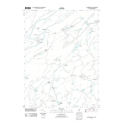 2011 Flatbrookville2011 Print · USGSThe Delaware River valley and Blue Mountains are captured here in the early twenty-first century, featuring the famous loop of Wallpack Bend. Trace local history at the Lower Wall Pack Cemetery, find old crossings like Smith Ferry, and locate established retreats such as Camp Mohican.
 - 2014 Map of Flatbrookville, 2014 Print
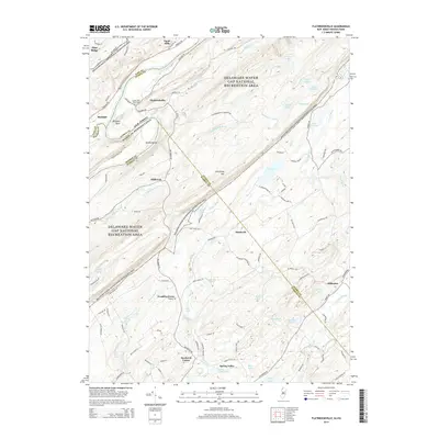 2014 Flatbrookville2014 Print · USGSThe Delaware River valley at the Sussex and Warren county line is documented here in the early twenty-first century. Genealogists and local historians can locate Lower Wall Pack Cem and trace the historic road network through Flatbrookville and Millbrook.
 - 2014 Map of Newton West, 2014 Print
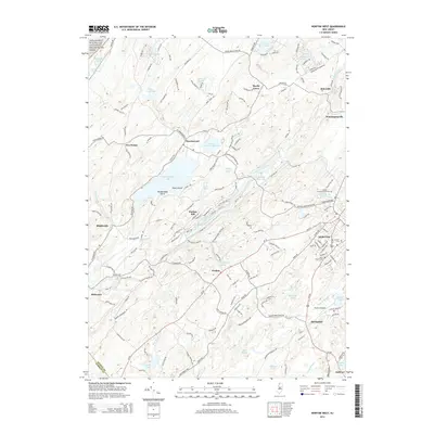 2014 Newton West2014 Print · USGSNewton and the surrounding Sussex County Highlands are captured here in the early twenty-first century, showing a landscape of lakeside communities and valley towns. Researchers can trace the layout of the NEWTON street grid and find local landmarks like Saint Joseph Cem and Hortons Pond.
 - 2014 Map of Tranquility, 2014 Print
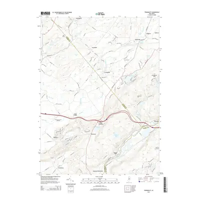 2014 Tranquility2014 Print · USGSThe northwestern New Jersey Highlands appear in detail during the early 2010s, showing a landscape defined by the Musconetcong River and its rural hamlets. Researchers can trace the boundaries of Tranquility, find the Ninety Five Mile Tree Lookout Tower, or locate the historic settlements of Waterloo and Saxton Falls.
 - 2014 Map of Blairstown, 2014 Print
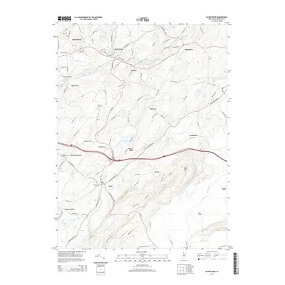 2014 Blairstown2014 Print · USGSThe rural Highlands of Warren County are captured here in the early twenty-first century, showing a landscape defined by the Paulins Kill and Jenny Jump State Forest. Researchers can locate several historic burial grounds like Swayze Cem and trace old crossroads settlements at Swayzes Mills or Marksboro.
 - 2016 Map of Tranquility, 2016 Print
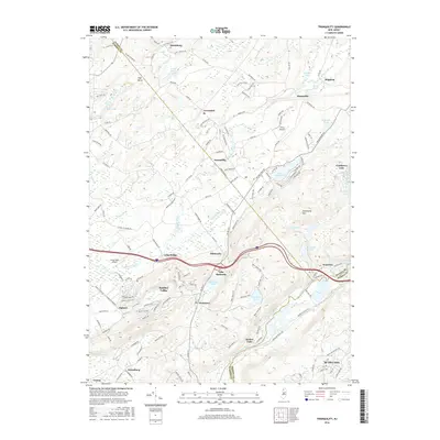 2016 Tranquility2016 Print · USGSNorthwestern New Jersey at the meeting of three counties shows a landscape of glacial lakes and ridges in the mid-2010s. Genealogists can trace the rural roads of Tranquility and Allamuchy, or locate local landmarks like Saxton Falls and Shades of Death Rd.
 - 2016 Map of Newton West, 2016 Print
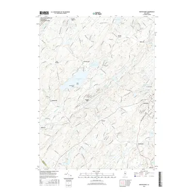 2016 Newton West2016 Print · USGSSussex County's lake-strewn landscape is captured here in the mid-2010s, centered on the growing county seat and its surrounding townships. Genealogists and local historians can trace family plots at Saint Joseph Cem or explore established hamlets like Balesville, Stillwater, and Middleville.
 - 2016 Map of Flatbrookville, 2016 Print
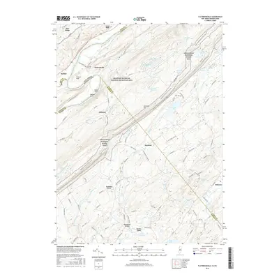 2016 Flatbrookville2016 Print · USGSThe Delaware River valley and Kittatinny ridgeline appear in detail on this 2016 survey of the New Jersey borderlands. Researchers can trace historic riverfront settlements like Flatbrookville, find the Lower Wall Pack Cem, and follow the Old Mine Rd.
 - 2016 Map of Blairstown, 2016 Print
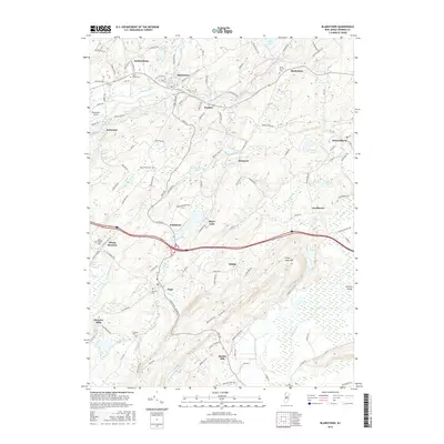 2016 Blairstown2016 Print · USGSWarren County in the modern era maintains its historic village structure along the Paulins Kill and beneath Jenny Jump Mtn. Researchers can locate ancestral sites at Moravian Cem or trace old mill sites near Swayzes Mills and Ebenezer.
 - 2019 Map of Newton West, 2019 Print
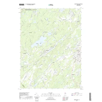 2019 Newton West2019 Print · USGSThe county seat of Newton and its surrounding lake communities are detailed in this 2010s survey of Sussex County. Local historians can trace the development of Swartswood, Stillwater, and Balesville alongside landmarks like Newton Cem.
 - 2019 Map of Flatbrookville, 2019 Print
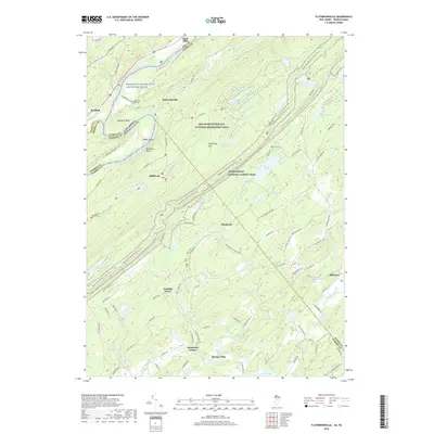 2019 Flatbrookville2019 Print · USGSThe Delaware River valley at Wallpack Bend remains a preserved corridor of early settlement and mountain terrain. Genealogists and local historians can locate the Lower Wall Pack Cem and trace old routes through Flatbrookville and Millbrook.
 - 2019 Map of Blairstown, 2019 Print
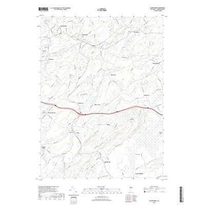 2019 Blairstown2019 Print · USGSWarren County at the end of the 2010s reveals a landscape where highland ridges meet historic valley settlements. Genealogists can trace family footprints at Moravian Cem or Union Brick Cem, while exploring landmarks like Jenny Jump Mtn and Swayzes Mills.
 - 2019 Map of Tranquility, 2019 Print
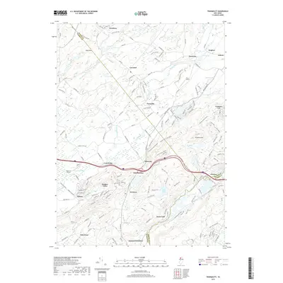 2019 Tranquility2019 Print · USGSNorthwestern New Jersey in the late twenty-tens shows a landscape of river valleys and upland trails between the Pequest and Musconetcong. Local historians can trace the development of Panther Valley, find small airfields like Trinca Airport, and locate the modern footprints of Tranquility and Allamuchy.
End of results
Showing maps 1-16 of 16
Top cities near Frelinghuysen Township
- Mount Olive historical maps
- Roxbury Township historical maps
- Sparta Township historical maps
- Hopatcong historical maps
- Wantage historical maps
- Hackettstown historical maps
See more
Top neighborhoods of Frelinghuysen Township
- Southtown historical maps
- Shiloh historical maps
- Johnsonburg historical maps
- Marksboro historical maps
- Ebenezer historical maps
Frequently asked questions
- What are the different types of historical maps available for Frelinghuysen Township?
- What is the oldest map of Frelinghuysen Township?
- Where can I purchase historical maps of Frelinghuysen Township for my home or office?
- Where can I download high-res historical maps of Frelinghuysen Township?
- Are there historical topographic maps available for Frelinghuysen Township?
- Is there historical aerial imagery available for Frelinghuysen Township?
- Where are historical maps of Frelinghuysen Township sourced from?