Old Maps of Pajarito, Bernalillo County for Genealogy
Trace your family roots with 11 historic maps of Pajarito. These high-res maps reveal old neighborhoods, homesites, landmarks, and streets — helping you uncover where your ancestors lived and how the area evolved over time.
- Explore historic neighborhoods: Identify where your relatives may have lived in the 1800s or 1900s.
- Compare maps over time: Trace the changes in streets, buildings, and landmarks for multi-generational research.
- Perfect for genealogy & ancestry research: Used by family historians and researchers to map out lineage and migration.
These maps are an incredible resource for exploring your personal connection to Pajarito's past.
Pajarito, Bernalillo County maps
(11)- 1952 Map of Isleta, 1954 Print
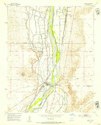 1952 Isleta1954 Print · USGSThe Rio Grande valley south of Albuquerque was a complex network of irrigation and transit in the early fifties. Local historians can trace the foundations of Pajarito and Isleta Pueblo alongside landmarks like St Andres Ch and the Isleta Diversion Dam.3 unique versions available
 - 1954 Map of Socorro, 1972 Print
 1954 Socorro1972 Print · USGSMid-century New Mexico comes into focus as the Rio Grande valley and the surrounding high desert undergo post-war growth. Genealogists and historians can trace old mountain settlements like Tajique and Punta de Agua or locate remote sites like the Torrance Mine.2 unique versions available
 - 1958 Map of Socorro
 1958 Socorro1958 Print · USGSNew Mexico's high desert during the late fifties reveals a landscape of massive land grants and remote mining outposts. Researchers can trace the path of the Atchison Topeka and Santa Fe railroad as it connects Socorro and Belen to industrial sites like the Manganese Mill.
 - 1962 Map of Socorro
 1962 Socorro1962 Print · USGSCentral New Mexico comes alive in the early sixties as the rail-and-river corridor of the Rio Grande connects historic pueblos and ranching towns. Local historians can trace the route of the Atchison Topeka and Santa Fe through Belen or locate the Torrance Mine near Mountainair.
 - 1979 Map of Belen
 1979 Belen1979 Print · USGSThe Rio Grande Valley south of Albuquerque in the late seventies reveals a landscape of historic land grants and modern subdivisions. Trace the rail-and-river corridor through Belen and Isleta Pueblo, or find high-elevation landmarks in Cibola National Forest.2 unique versions available
 - 1991 Map of Isleta, 1996 Print
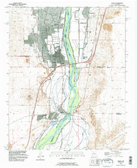 1991 Isleta1996 Print · USGSThe Rio Grande valley south of Albuquerque is documented here in the early nineties, showing the interface between tribal lands and rural settlements. Researchers can trace ancestral locations near Isleta Pueblo, Los Padillas, and the Pajarito Cemetery.
 - 2010 Map of Isleta, 2010 Print
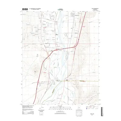
 2010 Isleta2010 Print · USGSCovers Pajarito, including Albuquerque, Barr, and other nearby areas
 - 2013 Map of Isleta, 2013 Print
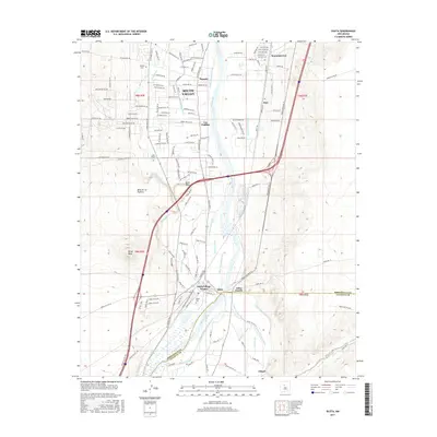
 2013 Isleta2013 Print · USGSCovers Pajarito, including Albuquerque, Barr, and other nearby areas
 - 2017 Map of Isleta, 2017 Print
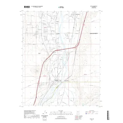
 2017 Isleta2017 Print · USGSCovers Pajarito, including Albuquerque, Barr, and other nearby areas
 - 2020 Map of Isleta, 2020 Print
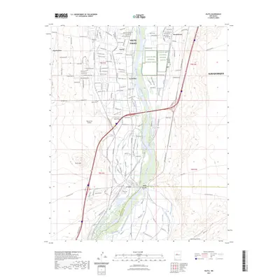
 2020 Isleta2020 Print · USGSCovers Pajarito, including Albuquerque, Barr, and other nearby areas
 - 2023 Map of Isleta, 2023 Print
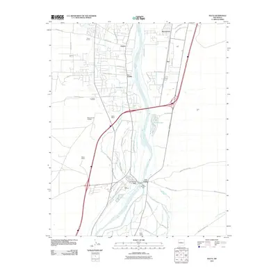
 2023 Isleta2023 Print · USGSThe Rio Grande valley south of Albuquerque is shown here in its modern context, balancing ancient agricultural traditions with conservation. Researchers can trace ancestral sites and local history at Isleta Pueblo, Los Padillas Cem, and Black Mesa.
End of results
Showing maps 1-11 of 11
Frequently asked questions
- What are the different types of historical maps available for Pajarito?
- What is the oldest map of Pajarito?
- Where can I purchase historical maps of Pajarito for my home or office?
- Where can I download high-res historical maps of Pajarito?
- Are there historical topographic maps available for Pajarito?
- Is there historical aerial imagery available for Pajarito?
- Where are historical maps of Pajarito sourced from?