Old Maps of Texico, New Mexico for Metal Detecting
Plan your next treasure hunt with 9 historic maps of Texico. Find old homesites, ghost towns, trails, and gathering spots that may be lost to time — perfect for identifying promising metal detecting locations.
- Locate forgotten sites: Uncover places like long-lost settlements, abandoned rail lines, or gathering spots.
- Plan better hunts: Use map overlays combined with LiDAR or satellite views to narrow in on historically rich areas.
- Made for detectorists: Thousands of hobbyists use these maps to discover relics, coins, and hidden history.
Use these historic maps to boost your research and find new opportunities beneath the surface of Texico.
Texico, NM maps
(9)- 1954 Map of Clovis, 1966 Print
 1954 Clovis1966 Print · USGSThe High Plains of the Texas-New Mexico borderland come alive in this mid-century survey as the region's agricultural and rail networks reached their peak. Trace family roots and local history through features like Cannon AFB, the massive Sand Hills, and busy rail towns such as Friona and Littlefield.4 unique versions available
 - 1957 Map of Clovis, 1958 Print
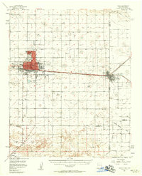 1957 Clovis1958 Print · USGSThe High Plains railroad hub of Clovis is captured here in the mid-fifties at the peak of its rail-era importance. Genealogists and researchers can trace the growth of the border towns of Texico and Farwell or locate landmarks like Lawn Haven Cem.3 unique versions available
 - 1958 Map of Clovis
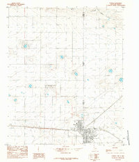
 1958 Clovis1958 Print · USGSThe High Plains of the New Mexico-Texas borderlands are captured here in the late fifties, during a period of significant military and agricultural expansion. Genealogists and historians can trace the rail-side growth of Clovis, the operations at Clovis Air Force Base, and the rural layout of communities like Muleshoe and Hereford.
 - 1985 Map of Farwell
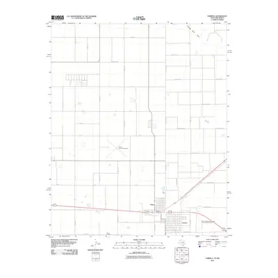
 1985 Farwell1985 Print · USGSThe border towns of Texico and Farwell straddle the state line in the mid-1980s, serving as an agricultural and transport hub. Researchers can trace the local economy and infrastructure through features like the Clovis Municipal Airport, the town Cem, and a large central Elevator.
 - 2010 Map of Farwell, 2010 Print
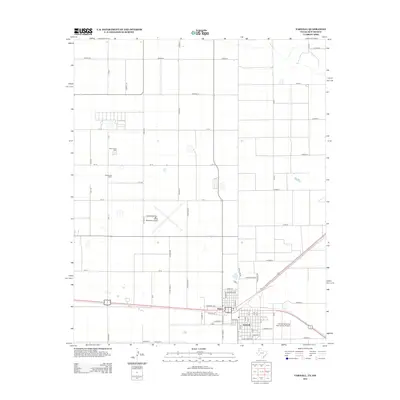
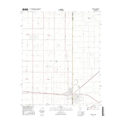
 2010 Farwell2010 Print · USGSCovers Texico, including Farwell, Curry County, and other nearby areas
 - 2012 Map of Farwell, 2012 Print
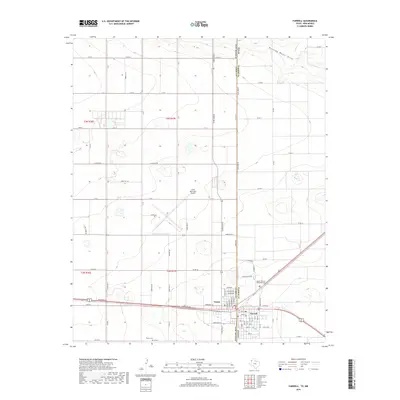
 2012 Farwell2012 Print · USGSCovers Texico, including Farwell, Curry County, and other nearby areas
 - 2016 Map of Farwell, 2016 Print
 2016 Farwell2016 Print · USGSCovers Texico, including Farwell, Curry County, and other nearby areas
 - 2019 Map of Farwell, 2019 Print
 2019 Farwell2019 Print · USGSCovers Texico, including Farwell, Curry County, and other nearby areas
 - 2022 Map of Farwell, 2022 Print
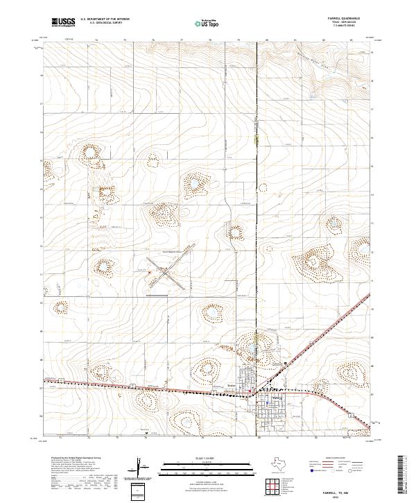 2022 Farwell2022 Print · USGSThe twin border towns of Texico, New Mexico, and Farwell, Texas, are captured here in the early twenty-first century. Researchers can trace the civic heart of the area at the Parmer County Courthouse or locate family plots in the Sunset Terrace Memorial Cem.
End of results
Showing maps 1-9 of 9
Top cities near Texico
Frequently asked questions
- What are the different types of historical maps available for Texico?
- What is the oldest map of Texico?
- Where can I purchase historical maps of Texico for my home or office?
- Where can I download high-res historical maps of Texico?
- Are there historical topographic maps available for Texico?
- Is there historical aerial imagery available for Texico?
- Where are historical maps of Texico sourced from?