Old Maps of Yeso, New Mexico for Academic Research
Study the evolution of Yeso with 9 high-resolution historic maps. Whether you're teaching, researching, or modeling changes in land use, these maps provide essential visual documentation of urban, environmental, and geographic change.
- Analyze long-term change: Track patterns in development, transportation, and natural features.
- Ideal for environmental or urban studies: Support academic projects with primary historical map data.
- Use in the classroom or lab: Educators and researchers rely on these maps to bring historical context to life.
These maps are a powerful tool for teaching, research, and visualizing how Yeso has changed over the decades.
Yeso, NM maps
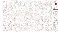
(9)- 1954 Map of Fort Sumner, 1964 Print
 1954 Fort Sumner1964 Print · USGSEast-central New Mexico's ranching and rail heartland is captured here in the mid-1950s, centered on the strategic junctions of the high plains. Researchers can trace the development of early highway networks and rail towns like Vaughn, Fort Sumner, and the copper operations at Guadalupe Mine.3 unique versions available
 - 1958 Map of Fort Sumner
 1958 Fort Sumner1958 Print · USGSEast-central New Mexico in the mid-fifties is captured here as a sprawling landscape of high mesas and cattle ranching. Researchers can trace the convergence of the Southern Pacific railroad at Vaughn and locate family landmarks like Borica School or Marquez Ranch.
 - 1966 Map of Yeso, 1969 Print
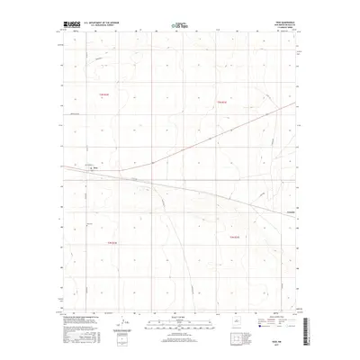
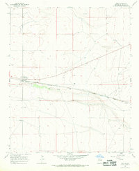 1966 Yeso1969 Print · USGSThe high plains of De Baca County are captured in the late 1960s, centered on the railroad siding of Yeso. Genealogists and researchers can trace the alignment of the Atchison Topeka and Santa Fe and locate family landmarks like Hisel Ranch and Evanola.
 - 1979 Map of Fort Sumner
 1979 Fort Sumner1979 Print · USGSThe Pecos River valley in the late seventies reveals a landscape shaped by irrigation and the rail lines of the Atchison Topeka and Santa Fe. Genealogists and historians can trace small communities like Taiban and Yeso alongside landmarks like The Caprock.
 - 2010 Map of Yeso, 2010 Print
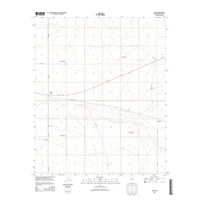
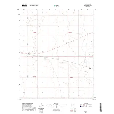
 2010 Yeso2010 Print · USGSCovers Yeso, including De Baca County, United States, and other nearby areas
 - 2013 Map of Yeso, 2013 Print
 2013 Yeso2013 Print · USGSCovers Yeso, including De Baca County, United States, and other nearby areas
 - 2017 Map of Yeso, 2017 Print
 2017 Yeso2017 Print · USGSCovers Yeso, including De Baca County, United States, and other nearby areas
 - 2020 Map of Yeso, 2020 Print
 2020 Yeso2020 Print · USGSCovers Yeso, including De Baca County, United States, and other nearby areas
 - 2023 Map of Yeso, 2023 Print
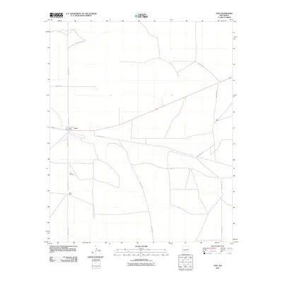
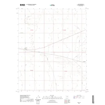
 2023 Yeso2023 Print · USGSDe Baca County ranching country is mapped here in the early 2020s, centered on the historic crossroads at Yeso. Genealogists and local historians can locate the Yeso Catholic Cem, the Yeso Cem, and the quiet outpost of Evanola along Angus Rd.
End of results
Showing maps 1-9 of 9
Frequently asked questions
- What are the different types of historical maps available for Yeso?
- What is the oldest map of Yeso?
- Where can I purchase historical maps of Yeso for my home or office?
- Where can I download high-res historical maps of Yeso?
- Are there historical topographic maps available for Yeso?
- Is there historical aerial imagery available for Yeso?
- Where are historical maps of Yeso sourced from?