Old Maps of Malpais, New Mexico for Metal Detecting
Plan your next treasure hunt with 12 historic maps of Malpais. Find old homesites, ghost towns, trails, and gathering spots that may be lost to time — perfect for identifying promising metal detecting locations.
- Locate forgotten sites: Uncover places like long-lost settlements, abandoned rail lines, or gathering spots.
- Plan better hunts: Use map overlays combined with LiDAR or satellite views to narrow in on historically rich areas.
- Made for detectorists: Thousands of hobbyists use these maps to discover relics, coins, and hidden history.
Use these historic maps to boost your research and find new opportunities beneath the surface of Malpais.
Malpais, NM maps
(12)- 1917 Map of Camel Mountain
 1917 Camel Mountain1917 Print · USGSThe high desert along the New Mexico-Mexico border comes into focus during the early twentieth century. Genealogists and historians can trace isolated homesteads such as Engle and Minor Ranch and the railroad siding at Arena along the El Paso and Southwestern line.2 unique versions available
 - 1953 Map of El Paso
 1953 El Paso1953 Print · USGSEl Paso and the border region are shown here in the early fifties, documenting a landscape of shared river life and rising military presence. Genealogists and historians can trace rail-tied communities like Smeltertown, San Elizario, and the grounds of Fort Bliss.
 - 1959 Map of El Paso, 1968 Print
 1959 El Paso1968 Print · USGSEl Paso and the international borderlands come alive in this mid-century survey of the Chihuahuan Desert. Genealogists and historians can trace rail-side settlements like Columbus and Fabens, locate the sprawling Fort Bliss, and explore the geologically unique Kilbourne Hole.2 unique versions available
 - 1964 Map of El Paso
 1964 El Paso1964 Print · USGSThe El Paso and Juarez borderlands are shown in detail during the mid-sixties, from the urban center to the remote volcanic craters of the West Potrillo Mountains. Trace the rail-and-river network through Asarco Smeltertown, the Fort Bliss Military Reservation, and Columbus.
 - 1965 Map of El Paso
 1965 El Paso1965 Print · USGSEl Paso and the Mesilla Valley are shown in the mid-1960s as the region's military and transport infrastructure expanded. Researchers can trace the irrigation network along the Rio Grande, find old border stations like Columbus, and locate Hueco Tanks.
 - 1965 Map of Camel Mountain, 1967 Print
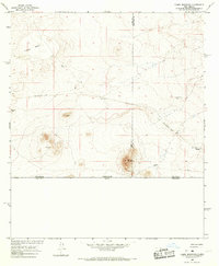 1965 Camel Mountain1967 Print · USGSThe Chihuahuan Desert along the international boundary in the mid-1960s shows a landscape defined by ranching and old industrial corridors. Researchers can trace the Old Railroad Grade past Birchfield Ranch and identify early mining prospects near Camel Mountain.
 - 1981 Map of Columbus
 1981 Columbus1981 Print · USGSSouthern New Mexico’s borderlands are detailed here in the early eighties, centered on the historic village of Columbus. Researchers can trace the legacy of mining and transit through the Mahoney Mines, the Old Railroad Grade, and the grounds of Pancho Villa State Park.
 - 2010 Map of Camel Mountain, 2010 Print
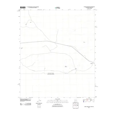 2010 Camel Mountain2010 Print · USGSThe international border south of Dona Ana County remained a quiet expanse of high desert at the turn of the millennium. Researchers can locate remote outposts like Birchfield Ranch, the Red Windmill, and the settlement of Malpais near the Mexican line.
 - 2013 Map of Camel Mountain, 2013 Print
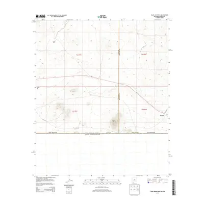 2013 Camel Mountain2013 Print · USGSThe Chihuahuan Desert borderlands come into focus in the early twenty-first century as the international line meets the high desert. Researchers can trace remote routes like CO Road A002 past volcanic landmarks such as Camel Mtn and the Malpais.
 - 2017 Map of Camel Mountain, 2017 Print
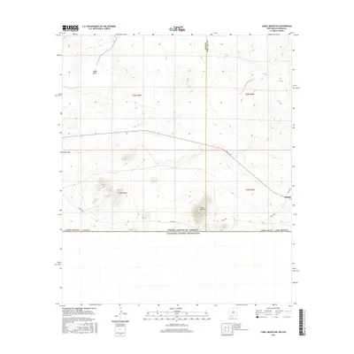 2017 Camel Mountain2017 Print · USGSThe international border and the high desert of Southern New Mexico meet in this contemporary survey of the borderlands. Researchers can trace the desert tracks of Anapra Rd as they pass Camel Mountain and the settlement of Malpais near the county line.
 - 2020 Map of Camel Mountain, 2020 Print
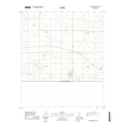 2020 Camel Mountain2020 Print · USGSThe high desert borderlands of Doña Ana County meet the international boundary in this modern topographic survey. Researchers can trace the desert terrain around Camel Mtn and the lava fields of Malpais, or follow the path of Anapra Rd.
 - 2023 Map of Camel Mountain, 2023 Print
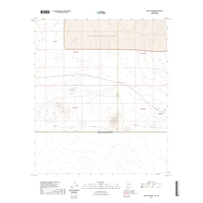 2023 Camel Mountain2023 Print · USGSThe New Mexico borderlands come into focus in this contemporary survey of the Chihuahuan Desert. Local historians and land researchers can trace the roads near the international boundary and the volcanic landscape around Camel Mtn and Malpais.
End of results
Showing maps 1-12 of 12
Frequently asked questions
- What are the different types of historical maps available for Malpais?
- What is the oldest map of Malpais?
- Where can I purchase historical maps of Malpais for my home or office?
- Where can I download high-res historical maps of Malpais?
- Are there historical topographic maps available for Malpais?
- Is there historical aerial imagery available for Malpais?
- Where are historical maps of Malpais sourced from?