Old Maps of Salem, New Mexico for Academic Research
Study the evolution of Salem with 10 high-resolution historic maps. Whether you're teaching, researching, or modeling changes in land use, these maps provide essential visual documentation of urban, environmental, and geographic change.
- Analyze long-term change: Track patterns in development, transportation, and natural features.
- Ideal for environmental or urban studies: Support academic projects with primary historical map data.
- Use in the classroom or lab: Educators and researchers rely on these maps to bring historical context to life.
These maps are a powerful tool for teaching, research, and visualizing how Salem has changed over the decades.
Salem, NM maps
(10)- 1955 Map of Las Cruces, 1963 Print
 1955 Las Cruces1963 Print · USGSSouthern New Mexico comes into focus during the mid-fifties, showing the growth of Las Cruces alongside major military and scientific installations. Genealogists and historians can trace the Southern Pacific tracks through small rail towns like Cambray and Afton, or locate family sites near Hatch and Deming.3 unique versions available
 - 1958 Map of Las Cruces
 1958 Las Cruces1958 Print · USGSSouthern New Mexico in the late fifties was a landscape of rapid scientific and military growth centered on the Rio Grande. Local historians can trace the development of Las Cruces, the campus of New Mexico A and M College, and remote rail sidings like Aden Siding.
 - 1959 Map of Hatch, 1960 Print
 1959 Hatch1960 Print · USGSDona Ana County communities thrive along the Rio Grande in the late fifties, where irrigation and rail lines intersect. Trace family history near Salem, Hatch, and Rodey, or locate landmarks like the Hatch Municipal Airport and Hatch Cem.3 unique versions available
 - 1982 Map of Hatch
 1982 Hatch1982 Print · USGSThe Rio Grande valley and the rugged Mimbres Mountains meet in this early 1980s overview of southern New Mexico. Researchers can trace the path of the Atchison Topeka and Santa Fe railroad or locate historic mining hubs like Hillsboro and Lake Valley.
 - 1996 Map of Hatch, 2002 Print
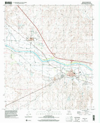 1996 Hatch2002 Print · USGSThe Rio Grande's irrigation network and the settlements of the Rincon Valley are documented here in the mid-1990s. Genealogists and local historians can trace family-named landmarks like Wardy Hedgehog Dam, Rodey Cem, and the Salem Sch.
 - 2010 Map of Hatch, 2010 Print
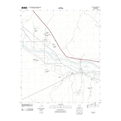 2010 Hatch2010 Print · USGSCovers Salem, including Hatch, Placitas, and other nearby areas
 - 2013 Map of Hatch, 2013 Print
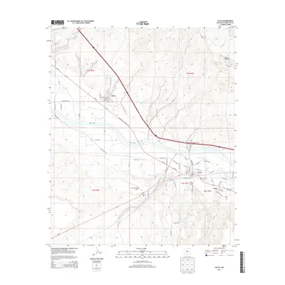 2013 Hatch2013 Print · USGSCovers Salem, including Hatch, Placitas, and other nearby areas
 - 2017 Map of Hatch, 2017 Print
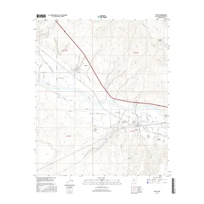 2017 Hatch2017 Print · USGSCovers Salem, including Hatch, Placitas, and other nearby areas
 - 2020 Map of Hatch, 2020 Print
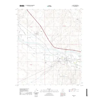 2020 Hatch2020 Print · USGSCovers Salem, including Hatch, Placitas, and other nearby areas
 - 2023 Map of Hatch, 2023 Print
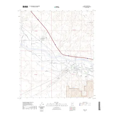 2023 Hatch2023 Print · USGSDona Ana County’s agricultural heartland along the Rio Grande is preserved here in the early twenty-first century. Genealogists and local historians can trace family locations near Salem Cem, the Placitas Hill Cem, and the extensive Hatch Canal system.
End of results
Showing maps 1-10 of 10
Top cities near Salem
Frequently asked questions
- What are the different types of historical maps available for Salem?
- What is the oldest map of Salem?
- Where can I purchase historical maps of Salem for my home or office?
- Where can I download high-res historical maps of Salem?
- Are there historical topographic maps available for Salem?
- Is there historical aerial imagery available for Salem?
- Where are historical maps of Salem sourced from?