Old Maps of Huerfano, Eastern Navajo Agency for Genealogy
Trace your family roots with 12 historic maps of Huerfano. These high-res maps reveal old neighborhoods, homesites, landmarks, and streets — helping you uncover where your ancestors lived and how the area evolved over time.
- Explore historic neighborhoods: Identify where your relatives may have lived in the 1800s or 1900s.
- Compare maps over time: Trace the changes in streets, buildings, and landmarks for multi-generational research.
- Perfect for genealogy & ancestry research: Used by family historians and researchers to map out lineage and migration.
These maps are an incredible resource for exploring your personal connection to Huerfano's past.
Huerfano, Eastern Navajo Agency maps
(12)- 1889 Map of Chaco
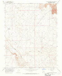
 1889 Chaco1889 Print · USGSNorthwestern New Mexico appears here in the late nineteenth century as a frontier of emerging river settlements and high-desert springs. Researchers can trace early footprints at Farmington and Aztec, or locate watering points like Sheep Spring and Seven Lakes.
 - 1892 Map of Chaco
 1892 Chaco1892 Print · USGSNorthwestern New Mexico in the late nineteenth century reveals the early river-side foundations of the Four Corners region. Genealogists and historians can trace the development of Farmington, Aztec, and Jewett along the San Juan River and the high desert outpost of Seven Lakes.5 unique versions available
 - 1954 Map of Shiprock
 1954 Shiprock1954 Print · USGSThe Four Corners region in the mid-fifties reveals a vast landscape of tribal lands and desert landmarks. Researchers can trace the mid-century footprints of the Navajo Indian Reservation, identifying remote Trading Posts, the early growth of Farmington, and the iconic spire of Ship Rock.5 unique versions available
 - 1958 Map of Shiprock
 1958 Shiprock1958 Print · USGSThe Four Corners region in the mid-fifties shows a vast network of remote outposts and river settlements. You can locate numerous historic sites like the Emmanuel Mission and several commercial hubs such as Burnham Trading Post and Bisti Trading Post.
 - 1959 Map of Shiprock
 1959 Shiprock1959 Print · USGSThe Four Corners region comes alive in the mid-fifties, showing the high desert outposts and river-valley towns of the Navajo Nation and San Juan County. Genealogists and researchers can locate remote landmarks like the Burnham Trading Post, Two Grey Hills, and the early Helium Plant.
 - 1965 Map of Gallegos Trading Post, 1969 Print
 1965 Gallegos Trading Post1969 Print · USGSSan Juan County saw a surge in energy exploration during the mid-sixties as pipelines began to crisscross the high desert. Genealogists and historians can trace local landmarks like Gallegos Trading Post and family-named features like McKay Windmill.2 unique versions available
 - 1980 Map of Farmington, 1981 Print
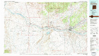 1980 Farmington1981 Print · USGSIn the San Juan Basin during the early 1980s, the energy economy was rapidly transforming the landscape around Farmington and Shiprock. Genealogists and historians can trace the growth of river towns like Kirtland or locate specific sites like the Navajo Mine and Aztec Ruins.2 unique versions available
 - 2010 Map of Gallegos Trading Post, 2010 Print
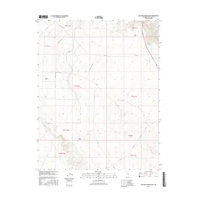
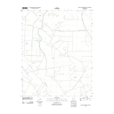 2010 Gallegos Trading Post2010 Print · USGSCovers Huerfano, including Eastern Navajo Agency, Teeł Sikaad, and other nearby areas
 - 2013 Map of Gallegos Trading Post, 2013 Print
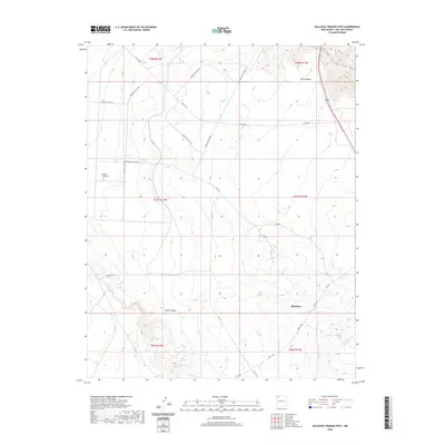
 2013 Gallegos Trading Post2013 Print · USGSCovers Huerfano, including Eastern Navajo Agency, Teeł Sikaad, and other nearby areas
 - 2017 Map of Gallegos Trading Post, 2017 Print
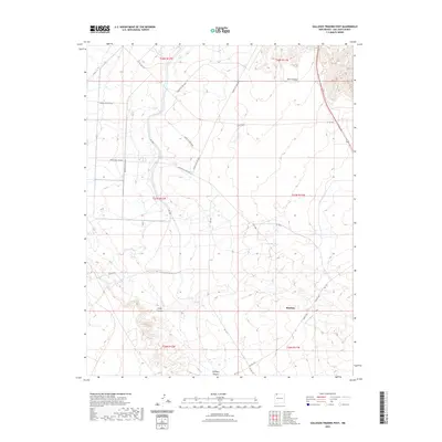
 2017 Gallegos Trading Post2017 Print · USGSCovers Huerfano, including Eastern Navajo Agency, Teeł Sikaad, and other nearby areas
 - 2020 Map of Gallegos Trading Post, 2020 Print
 2020 Gallegos Trading Post2020 Print · USGSCovers Huerfano, including Eastern Navajo Agency, Teeł Sikaad, and other nearby areas
 - 2023 Map of Gallegos Trading Post, 2023 Print
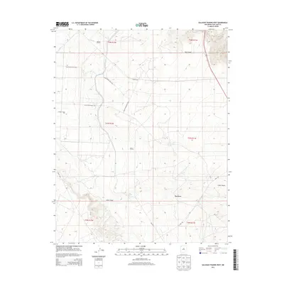
 2023 Gallegos Trading Post2023 Print · USGSSan Juan County, New Mexico, is mapped in the early 2020s, showing a high-desert landscape of deep canyons and tribal service routes. Researchers can trace land use around Huerfano and locate vital water sources like Pete Spring among the reaches of Gallegos Canyon.
End of results
Showing maps 1-12 of 12
Top cities near Huerfano
Frequently asked questions
- What are the different types of historical maps available for Huerfano?
- What is the oldest map of Huerfano?
- Where can I purchase historical maps of Huerfano for my home or office?
- Where can I download high-res historical maps of Huerfano?
- Are there historical topographic maps available for Huerfano?
- Is there historical aerial imagery available for Huerfano?
- Where are historical maps of Huerfano sourced from?