Old Maps of Sand Corner, Eastern Navajo Agency for Hiking & Exploration
Hike through history with 15 historic maps of Sand Corner. Explore old trails, ghost towns, and forgotten backroads — perfect for outdoor adventurers and local explorers.
- Rediscover forgotten places: Map out old mining camps, roads, and footpaths that no longer exist on modern maps.
- Layer with modern tools: Combine with LiDAR or satellite views to plan hikes through historical terrain.
- Made for exploration: Popular among hikers, overlanders, and local history lovers.
Use these maps to find adventure and explore the hidden past of Sand Corner.
Sand Corner, Eastern Navajo Agency maps
(15)- 1886 Map of Wingate
 1886 Wingate1886 Print · USGSThe high deserts of western New Mexico are shown during the expansion of the rail era in the mid-1880s. Genealogists and historians can trace early settlements and vital water sources like Gallup, Old Zuñi, and the historic Fort Wingate along the Atlantic and Pacific Railroad.
 - 1892 Map of Wingate
 1892 Wingate1892 Print · USGSNorthwestern New Mexico territory comes to life during the expansion of the rail era, centered on the strategic military and trade routes of the high desert. Researchers can trace the path of the Atlantic and Pacific Railroad past Fort Wingate and through early settlements like Gallup and Old Zuni.4 unique versions available
 - 1954 Map of Gallup, 1973 Print
 1954 Gallup1973 Print · USGSNative American tribal lands and the railroad corridor of the Southwest appear here at the midpoint of the century. Trace historic sites and remote settlements from Window Rock to the Fort Wingate Army Depot and Bibo.2 unique versions available
 - 1958 Map of Gallup
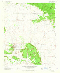
 1958 Gallup1958 Print · USGSThe high desert of Western New Mexico and Eastern Arizona is captured here in the late fifties, dominated by the Navajo and Zuni homelands. Researchers can trace the path of US 66 through Gallup or locate historic industry at the Navajo Coal Mine and Gibson Coal Mine.
 - 1959 Map of Gallup
 1959 Gallup1959 Print · USGSThe high desert corridor of northwestern New Mexico and eastern Arizona comes alive in the late fifties, following the path of Route 66 and the rail lines. Trace established landmarks like Zuni Pueblo, the Fort Wingate Military Reservation, and the Coolidge Post Office.
 - 1962 Map of Gallup
 1962 Gallup1962 Print · USGSThe high plateau and mountains surrounding Gallup in the early sixties reveal a landscape defined by tribal lands, coal mining, and the rail corridor. Researchers can locate remote trading posts, the Gibson Coal Mine, and the historic Window Rock capital.
 - 1963 Map of El Morro, 1965 Print
 1963 El Morro1965 Print · USGSNew Mexico's high desert reveals its deep archaeological and geological history in the early sixties. Researchers can trace the ancient Pueblo Ruins and Pueblito (Ruins) near the historic Inscription Rock and the elevations of Obe Worthen Mesa.3 unique versions available
 - 1967 Map of Gallup
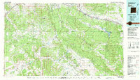
 1967 Gallup1967 Print · USGSThe high desert of New Mexico and Arizona comes into focus in the mid-1960s, centered on the railroad and ranching hub of Gallup. Genealogists and historians can trace routes through Zuni Pueblo, identify old rail stops like Houck, or locate the Aqua Fria Post Office.
 - 1981 Map of Zuni
 1981 Zuni1981 Print · USGSThe high plateau and mountains of western New Mexico are captured here in the early eighties, showcasing the intersection of tribal lands and national forests. Genealogists and researchers can trace local landmarks from Upper Nutria to the Black Rock Hospital and the historic Fort Wingate.2 unique versions available
 - 1995 Map of El Morro, 1998 Print
 1995 El Morro1998 Print · USGSThe high mesa and canyon country of western New Mexico is captured here in the late twentieth century. Genealogists and historians can locate family landmarks like El Morro and Tinaja Cemetery, along with the legendary Inscription Rock.
 - 2011 Map of El Morro, 2011 Print
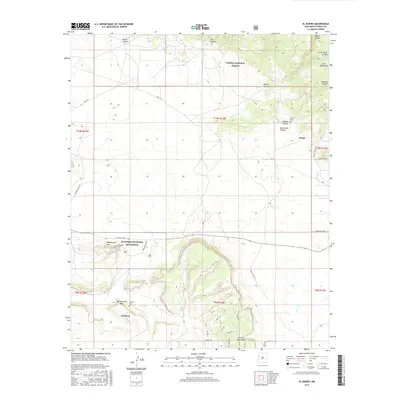
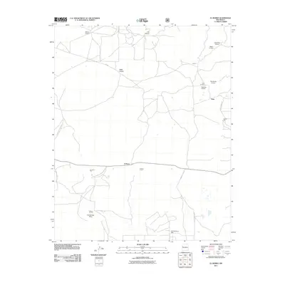 2011 El Morro2011 Print · USGSCovers Sand Corner, including Eastern Navajo Agency, Tinaja, and other nearby areas
 - 2013 Map of El Morro, 2013 Print
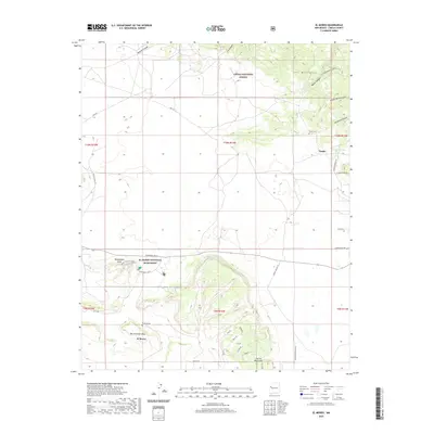
 2013 El Morro2013 Print · USGSCovers Sand Corner, including Eastern Navajo Agency, Tinaja, and other nearby areas
 - 2017 Map of El Morro, 2017 Print
 2017 El Morro2017 Print · USGSCovers Sand Corner, including Eastern Navajo Agency, Tinaja, and other nearby areas
 - 2020 Map of El Morro, 2020 Print
 2020 El Morro2020 Print · USGSCovers Sand Corner, including Eastern Navajo Agency, Tinaja, and other nearby areas
 - 2023 Map of El Morro, 2023 Print
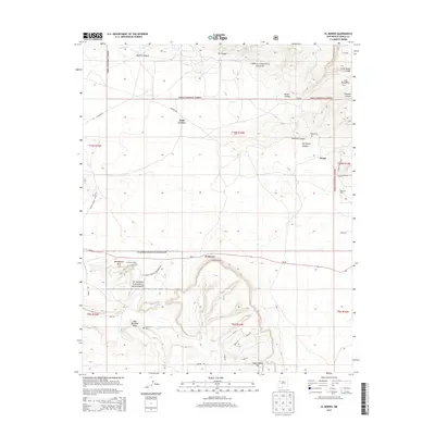
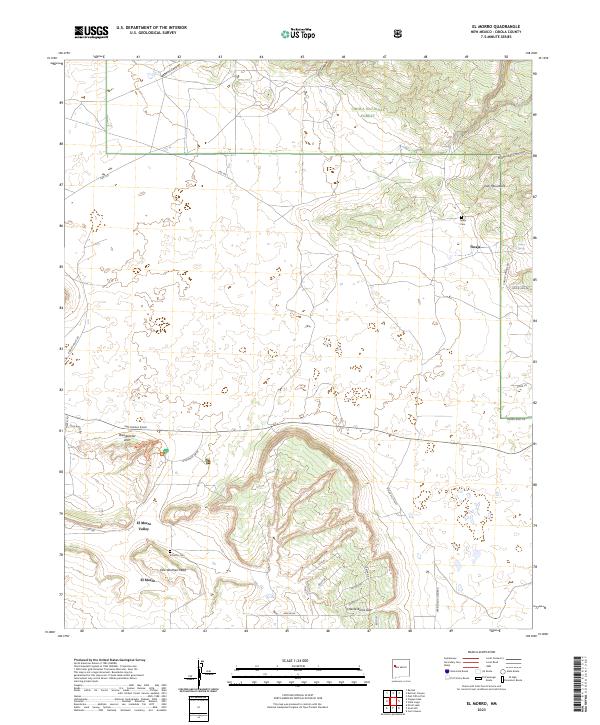 2023 El Morro2023 Print · USGSThe high desert mesas and valleys of Cibola County are documented here in the early twenty-first century. Genealogists and local historians can trace the foundations of Tinaja and El Morro Valley, locating family landmarks like Tinaja Cem and Obe Worthen Mesa.
End of results
Showing maps 1-15 of 15
Top cities near Sand Corner
Frequently asked questions
- What are the different types of historical maps available for Sand Corner?
- What is the oldest map of Sand Corner?
- Where can I purchase historical maps of Sand Corner for my home or office?
- Where can I download high-res historical maps of Sand Corner?
- Are there historical topographic maps available for Sand Corner?
- Is there historical aerial imagery available for Sand Corner?
- Where are historical maps of Sand Corner sourced from?