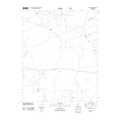
2011 Map of El Morro
USGS Topo · Published 2011About this map
Inscription Rock serves as the focal point of this New Mexico landscape, marking the historic significance of the El Morro National Monument. The settlement patterns recorded here reflect a blend of small communities and ranching outposts, including Sand Corner, Cañocico, and Tinaja. The area is defined by its dramatic topography, where Obe Worthen Mesa and Charlie Barns Gap interrupt the canyon systems of Alamosa Canyon and Muerto Canyon. High above the valley floor, the El Morro Lookout provides a strategic vantage point. For those tracing local heritage, the map identifies specific burial sites at the Tinaja Cemetery and El Morro Cemetery, alongside critical water sources in a dry climate such as Caruco Spring and Pueblito Well.
Find a feature on this map
27 named features on this map. Tap any name to fly to it.
Don’t see what you’re looking for? This feature index may not catch every label — zoom into the map to look around manually.
Map Details
Editions of this 2011 El Morro Map
This is the sole edition of this map. No revisions or reprints were ever made.
Other maps of this area
1886 · Wingate
USGS Topo · 1:250,000
1892 · Wingate
USGS Topo · 1:250,000
1952 · Valle Largo
USGS Topo · 1:24,000
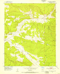
1952 · Post Office Flat
USGS Topo · 1:24,000

1954 · Saint Johns
USGS Topo · 1:250,000

1954 · Gallup
USGS Topo · 1:250,000

1957 · Saint Johns
USGS Topo · 1:250,000

1958 · Gallup
USGS Topo · 1:250,000

1958 · Saint Johns
USGS Topo · 1:250,000

1959 · Gallup
USGS Topo · 1:250,000
Featured Places
- Eastern Navajo Agency, NM
- Sand Corner, Eastern Navajo Agency
- Tinaja, Eastern Navajo Agency
- El Morro, Eastern Navajo Agency
- El Morro, Eastern Navajo Agency