
1952 Map of Valle Largo
USGS Topo · Published 1953About this map
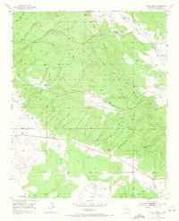
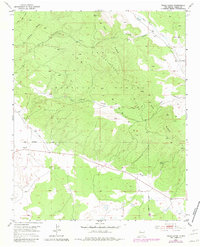
The high-altitude terrain of the Zuni Mountains defines this 1952 landscape, where the Continental Divide crests across the timbered slopes of the Cibola National Forest. This survey captures the rugged hydrology of the region, marked by the prominent north-south spine of Oso Ridge and the winding drainages of Agua Fria Creek and Little Water Canyon. The southern half of the map transitions into the broad opening of Valle Largo, providing a rare stretch of relatively level ground in an otherwise steeply contoured environment.
Find a feature on this map
18 named features on this map. Tap any name to fly to it.
Don’t see what you’re looking for? This feature index may not catch every label — zoom into the map to look around manually.
Map Details
Editions of this 1952 Valle Largo Map
3 editions found
Other maps of this area

1886 · Wingate
USGS Topo · 1:250,000

1892 · Wingate
USGS Topo · 1:250,000

1951 · Mt Sedgwick
USGS Topo · 1:24,000

1952 · Post Office Flat
USGS Topo · 1:24,000

1952 · Paxton Springs
USGS Topo · 1:24,000

1954 · Saint Johns
USGS Topo · 1:250,000

1954 · Gallup
USGS Topo · 1:250,000

1957 · Saint Johns
USGS Topo · 1:250,000

1958 · Gallup
USGS Topo · 1:250,000

1958 · Saint Johns
USGS Topo · 1:250,000