Old Maps of Hope, New Mexico
Explore 10 old maps of Hope, spanning from 1954 to today. These high-resolution historic maps reveal how streets, neighborhoods, landmarks, and natural features evolved over time — perfect for genealogy, metal detecting, research, and local history exploration.
What you can do with these maps:
- See how Hope changed over time: Compare historical maps to modern-day views to trace roads, homesites, rail lines & more.
- View detailed metadata: Each map includes creators, publishers, year, scale, and archive source.
- Overlay maps with satellite & LiDAR: Visualize the past alongside modern tools to explore terrain & human change.
- Trusted historical sources: Maps sourced from the USGS, Library of Congress, and other archives.
- Access maps your way: View online, download high-res files, or order prints for personal or research use.
Start exploring old maps of Hope to uncover forgotten places, hidden landmarks, and the deep history beneath your feet.
Hope, NM maps
(10)- 1954 Map of Carlsbad, 1963 Print
 1954 Carlsbad1963 Print · USGSSoutheastern New Mexico's desert peaks and river valleys appear in this mid-century study of the borderlands. Researchers can locate vanished sites like Sacramento City, trace the Pecos River reservoirs, and explore Carlsbad Caverns.3 unique versions available
 - 1955 Map of Hope, 1956 Print
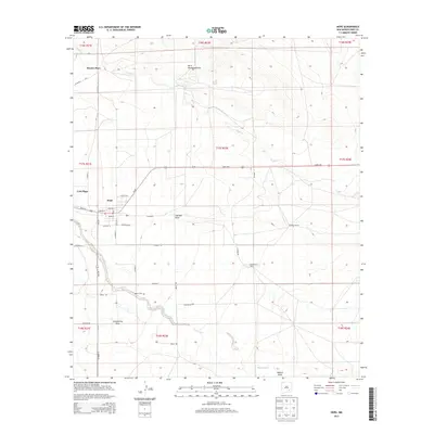
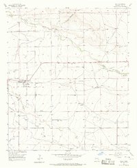 1955 Hope1956 Print · USGSIn the mid-1950s, the community of Hope was a hub for Eddy County ranching and irrigation in a landscape carved by Eagle Draw. Family history researchers can locate prominent holdings like Mc Ashan Ranch and the Hope South Cem.
 - 1956 Map of Hope, 1957 Print
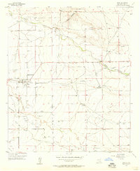 1956 Hope1957 Print · USGSHope and its surrounding ranchlands are captured here in the mid-fifties, showing the vital irrigation systems that sustained this Eddy County community. Researchers can trace family sites like the Mc Ashan Ranch and Cole Place, or locate the Hope South Cem.2 unique versions available
 - 1958 Map of Carlsbad
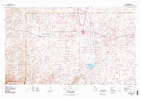
 1958 Carlsbad1958 Print · USGSSoutheastern New Mexico in the mid-1950s shows a landscape of deep desert basins and high forest ranges during a period of steady ranching and early tourism. Researchers can trace the path of the Atchison Topeka and Santa Fe railroad or find vanished locales like Sacramento City (abandoned) and Whites City.2 unique versions available
 - 1978 Map of Artesia, 1979 Print
 1978 Artesia1979 Print · USGSThe Pecos River valley in southeastern New Mexico comes alive in the late seventies, showing the intersection of rail-line agriculture and oil-field growth. Trace the path of the Atchison Topeka and Santa Fe through settlements like Dayton, Espuela, and Lakewood near Lake McMillan.
 - 2010 Map of Hope, 2010 Print
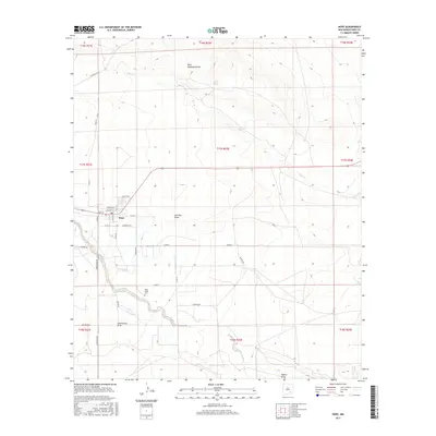
 2010 Hope2010 Print · USGSCovers Hope, including Cole Place, Hunter Place, and other nearby areas
 - 2013 Map of Hope, 2013 Print
 2013 Hope2013 Print · USGSCovers Hope, including Cole Place, Hunter Place, and other nearby areas
 - 2017 Map of Hope, 2017 Print
 2017 Hope2017 Print · USGSCovers Hope, including Cole Place, Hunter Place, and other nearby areas
 - 2020 Map of Hope, 2020 Print
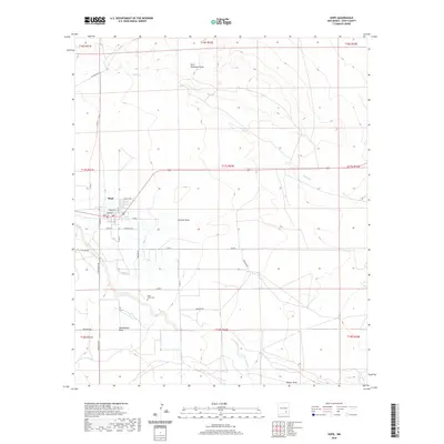 2020 Hope2020 Print · USGSCovers Hope, including Cole Place, Hunter Place, and other nearby areas
 - 2023 Map of Hope, 2023 Print
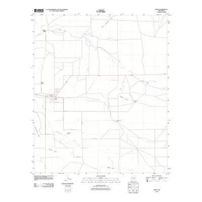
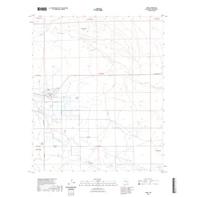 2023 Hope2023 Print · USGSThis New Mexico desert landscape near the Rio Peñasco captures the remote ranching and agricultural character of Eddy County in recent years. Genealogists and historians can trace family locations through Hope South Cem and the solitary Braddock Gravesite.
End of results
Showing maps 1-10 of 10
Frequently asked questions
- What are the different types of historical maps available for Hope?
- What is the oldest map of Hope?
- Where can I purchase historical maps of Hope for my home or office?
- Where can I download high-res historical maps of Hope?
- Are there historical topographic maps available for Hope?
- Is there historical aerial imagery available for Hope?
- Where are historical maps of Hope sourced from?