Old Maps of Bloodgood Place, New Mexico for Metal Detecting
Plan your next treasure hunt with 10 historic maps of Bloodgood Place. Find old homesites, ghost towns, trails, and gathering spots that may be lost to time — perfect for identifying promising metal detecting locations.
- Locate forgotten sites: Uncover places like long-lost settlements, abandoned rail lines, or gathering spots.
- Plan better hunts: Use map overlays combined with LiDAR or satellite views to narrow in on historically rich areas.
- Made for detectorists: Thousands of hobbyists use these maps to discover relics, coins, and hidden history.
Use these historic maps to boost your research and find new opportunities beneath the surface of Bloodgood Place.
Bloodgood Place, NM maps
(10)- 1954 Map of Tularosa, 1963 Print
 1954 Tularosa1963 Print · USGSSouth-central New Mexico in the early fifties shows a landscape of desert basins and high peaks under heavy military and water-reclamation use. Trace the path of the Atchison Topeka and Santa Fe Railway past San Marcial and into the massive White Sands Proving Ground.4 unique versions available
 - 1958 Map of Tularosa
 1958 Tularosa1958 Print · USGSSouthern New Mexico in the late fifties shows a landscape of military expansion and deep-rooted river settlements. Trace family history in Truth or Consequences or locate the ruins of San Marcial and the remote Dusty Post Office.2 unique versions available
 - 1963 Map of Hay Mesa, 1965 Print
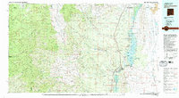
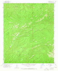 1963 Hay Mesa1965 Print · USGSThe high country of the Gila National Forest is mapped here during the early 1960s, showing the intersection of vital water sources and rugged backcountry routes. You can trace the Continental Divide Pack Trail past landmarks like Signboard Saddle and livestock watering points like Lincoln Tank or Kelly Tank.2 unique versions available
 - 1979 Map of Truth or Consequences
 1979 Truth or Consequences1979 Print · USGSSierra County in the late seventies is a landscape of massive reservoirs and remote mining districts. Researchers can trace the Rio Grande corridor from Truth or Consequences past historic outposts like Winston, Chloride, and the Republic Mine.2 unique versions available
 - 1999 Map of Hay Mesa, 2002 Print
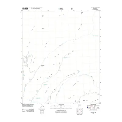
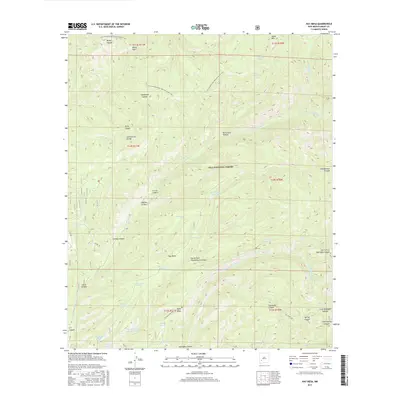
 1999 Hay Mesa2002 Print · USGSThe high mesas of Grant County are captured here in the late 1990s as the Continental Divide reaches across the Gila wilderness. Local history researchers can locate isolated ranching landmarks like Bloodgood Place, Cooley Place, and the Hay Mesa Corral along the Mimbres River.
 - 2011 Map of Hay Mesa, 2011 Print
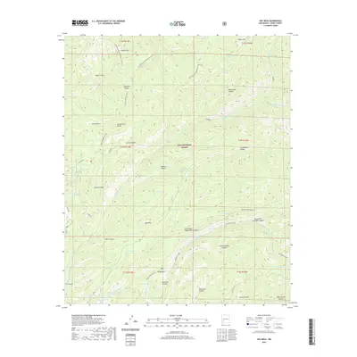
 2011 Hay Mesa2011 Print · USGSCovers Bloodgood Place, including Grant County, United States, and other nearby areas
 - 2013 Map of Hay Mesa, 2013 Print
 2013 Hay Mesa2013 Print · USGSCovers Bloodgood Place, including Grant County, United States, and other nearby areas
 - 2017 Map of Hay Mesa, 2017 Print
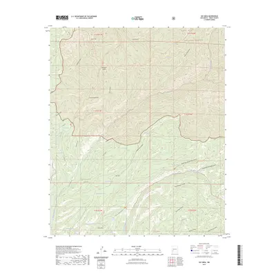
 2017 Hay Mesa2017 Print · USGSCovers Bloodgood Place, including Grant County, United States, and other nearby areas
 - 2020 Map of Hay Mesa, 2020 Print
 2020 Hay Mesa2020 Print · USGSCovers Bloodgood Place, including Grant County, United States, and other nearby areas
 - 2023 Map of Hay Mesa, 2023 Print
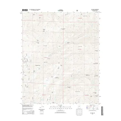
 2023 Hay Mesa2023 Print · USGSGrant County’s high forest and wilderness areas are shown here in the 2020s, dominated by the Continental Divide and the Aldo Leopold Wilderness. Hikers and researchers can trace the Continental Divide National Scenic Trl and identify local landmarks like Hay Mesa and Thompson Tank.
End of results
Showing maps 1-10 of 10
Frequently asked questions
- What are the different types of historical maps available for Bloodgood Place?
- What is the oldest map of Bloodgood Place?
- Where can I purchase historical maps of Bloodgood Place for my home or office?
- Where can I download high-res historical maps of Bloodgood Place?
- Are there historical topographic maps available for Bloodgood Place?
- Is there historical aerial imagery available for Bloodgood Place?
- Where are historical maps of Bloodgood Place sourced from?