Old Maps of Mangas Springs, New Mexico
Explore 12 old maps of Mangas Springs, spanning from 1954 to today. These high-resolution historic maps reveal how streets, neighborhoods, landmarks, and natural features evolved over time — perfect for genealogy, metal detecting, research, and local history exploration.
What you can do with these maps:
- See how Mangas Springs changed over time: Compare historical maps to modern-day views to trace roads, homesites, rail lines & more.
- View detailed metadata: Each map includes creators, publishers, year, scale, and archive source.
- Overlay maps with satellite & LiDAR: Visualize the past alongside modern tools to explore terrain & human change.
- Trusted historical sources: Maps sourced from the USGS, Library of Congress, and other archives.
- Access maps your way: View online, download high-res files, or order prints for personal or research use.
Start exploring old maps of Mangas Springs to uncover forgotten places, hidden landmarks, and the deep history beneath your feet.
Mangas Springs, NM maps
(12)- 1954 Map of Silver City, 1967 Print
 1954 Silver City1967 Print · USGSSoutheast Arizona and southwest New Mexico meet in this mid-century survey of the high desert and mountain mining districts. Local researchers can trace the rail lines through Lordsburg, the silver operations at Ash Peak Mines, and the limits of Fort Bayard Military Reservation.4 unique versions available
 - 1958 Map of Silver City
 1958 Silver City1958 Print · USGSSouthwestern New Mexico and eastern Arizona appear here in the mid-1950s, a period of intensive mining and rail activity. Trace the routes of the Southern Pacific RR through Lordsburg or locate historic operations at the Chino Mine and Santa Rita.
 - 1959 Map of Cliff, 1960 Print
 1959 Cliff1960 Print · USGSGrant County ranching and mining country are documented here in the late fifties, centered on the Gila River valley. Researchers can trace family homesteads like Robertson Ranch, locate the Stout Cem, or find the Black Eagle Mine.2 unique versions available
 - 1962 Map of Silver City
 1962 Silver City1962 Print · USGSThe high desert borderlands of New Mexico and Arizona come alive in this early sixties survey. Genealogists and historians can trace the mining economy through the Chino Mine, follow the rail routes of the Southern Pacific, or locate settlements like Virden and Bayard.
 - 1990 Map of Mangas Springs, 1991 Print
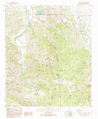 1990 Mangas Springs1991 Print · USGSThe Gila River and Big Burro Mountains define this Grant County landscape as it appeared in the late eighties. Genealogists and researchers can trace old mining claims like the Aetna Mine and Blackmoor Mine or locate early settlements at Mangas Springs.
 - 1994 Map of Silver City
 1994 Silver City1994 Print · USGSThe mining heart of Grant County is revealed in the mid-1990s as the massive industrial footprints of the copper industry shaped the landscape. Genealogists and historians can trace the rail lines of the Atchison Topeka and Santa Fe RR or locate landmarks like Fort Bayard State Medical Center and White Signal.
 - 1999 Map of Mangas Springs, 2002 Print
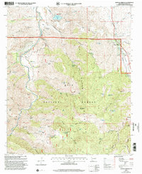 1999 Mangas Springs2002 Print · USGSThe high desert of Grant County comes into focus at the end of the millennium, centered on the historic Mangas Springs and the Gila River corridor. Researchers can locate remote ranching landmarks like the Hap McCauley Ranch and trace the operations of the Telegraph Mine.
 - 2011 Map of Mangas Springs, 2011 Print
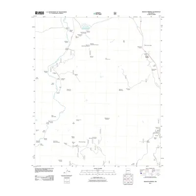 2011 Mangas Springs2011 Print · USGSThe Gila River corridor and Mangas Valley are documented here in the early twenty-first century. Researchers can locate ranching landmarks like the Hap McCauley Ranch and mining sites including the Telegraph Mine and Purple Heart Mine.
 - 2013 Map of Mangas Springs, 2013 Print
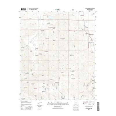 2013 Mangas Springs2013 Print · USGSMangas Springs and the Gila National Forest are captured here in the early twenty-first century, showing a landscape defined by deep canyons and high ridges. Researchers can trace historic water sources and rugged landmarks like Saint Peters Rock, Bill Evans Lake, and Mangas Valley.
 - 2017 Map of Mangas Springs, 2017 Print
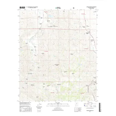 2017 Mangas Springs2017 Print · USGSMangas Springs and the high desert of Grant County are captured here in the late twenty-tens, showing the complex terrain where ranching history meets the national forest. Trace the Continental Divide National Scenic Trail past landmarks like Saddle Rock and Schoolhouse Mtn.
 - 2020 Map of Mangas Springs, 2020 Print
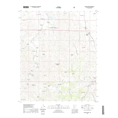 2020 Mangas Springs2020 Print · USGSMangas Springs and the high desert of Grant County are shown here in recent detail. Researchers can trace the path of the Continental Divide National Scenic Trail or locate water sources like Bill Evans Lake and Barney Kerr Tank among the Big Burro Mountains.
 - 2023 Map of Mangas Springs, 2023 Print
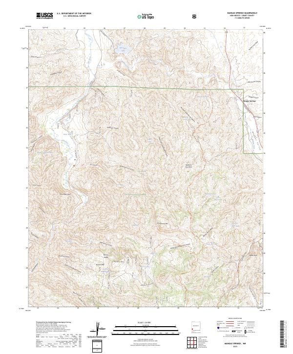 2023 Mangas Springs2023 Print · USGSGrant County’s high-desert canyons and water sources are detailed in this modern survey of the Gila National Forest. Researchers can trace old routes and landmarks from Mangas Springs to Saint Peters Rock and the Gila Middle Box.
End of results
Showing maps 1-12 of 12
Top cities near Mangas Springs
Frequently asked questions
- What are the different types of historical maps available for Mangas Springs?
- What is the oldest map of Mangas Springs?
- Where can I purchase historical maps of Mangas Springs for my home or office?
- Where can I download high-res historical maps of Mangas Springs?
- Are there historical topographic maps available for Mangas Springs?
- Is there historical aerial imagery available for Mangas Springs?
- Where are historical maps of Mangas Springs sourced from?