Old Maps of Mimbres, New Mexico for Hiking & Exploration
Hike through history with 11 historic maps of Mimbres. Explore old trails, ghost towns, and forgotten backroads — perfect for outdoor adventurers and local explorers.
- Rediscover forgotten places: Map out old mining camps, roads, and footpaths that no longer exist on modern maps.
- Layer with modern tools: Combine with LiDAR or satellite views to plan hikes through historical terrain.
- Made for exploration: Popular among hikers, overlanders, and local history lovers.
Use these maps to find adventure and explore the hidden past of Mimbres.
Mimbres, NM maps
(11)- 1955 Map of Las Cruces, 1963 Print
 1955 Las Cruces1963 Print · USGSSouthern New Mexico comes into focus during the mid-fifties, showing the growth of Las Cruces alongside major military and scientific installations. Genealogists and historians can trace the Southern Pacific tracks through small rail towns like Cambray and Afton, or locate family sites near Hatch and Deming.3 unique versions available
 - 1956 Map of San Lorenzo, 1959 Print
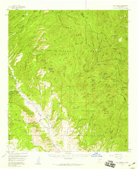 1956 San Lorenzo1959 Print · USGSThe Mimbres River valley and the high Black Range come together in this mid-century survey of Grant and Sierra counties. Researchers can trace the development of mining operations like the Royal John Mine and the Columbia Mine alongside the historic villages of San Lorenzo and San Juan.2 unique versions available
 - 1958 Map of Las Cruces
 1958 Las Cruces1958 Print · USGSSouthern New Mexico in the late fifties was a landscape of rapid scientific and military growth centered on the Rio Grande. Local historians can trace the development of Las Cruces, the campus of New Mexico A and M College, and remote rail sidings like Aden Siding.
 - 1982 Map of Hatch
 1982 Hatch1982 Print · USGSThe Rio Grande valley and the rugged Mimbres Mountains meet in this early 1980s overview of southern New Mexico. Researchers can trace the path of the Atchison Topeka and Santa Fe railroad or locate historic mining hubs like Hillsboro and Lake Valley.
 - 1985 Map of San Lorenzo
 1985 San Lorenzo1985 Print · USGSSettlements along the Mimbres River valley in the mid-1980s reflect a long history of water management and mountain ranching. Researchers can trace irrigation networks and find local landmarks like San Lorenzo, San Juan, and the secluded Willow Springs.
 - 1999 Map of San Lorenzo, 2002 Print
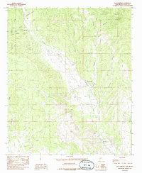
 1999 San Lorenzo2002 Print · USGSThe Mimbres River valley in the late nineties shows a landscape of small settlements and forest canyons. Genealogists and historians can trace family locations in San Lorenzo and San Juan, or locate local landmarks like the Cem and Airstrip.
 - 2011 Map of San Lorenzo, 2011 Print
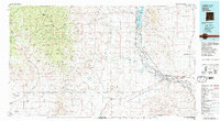
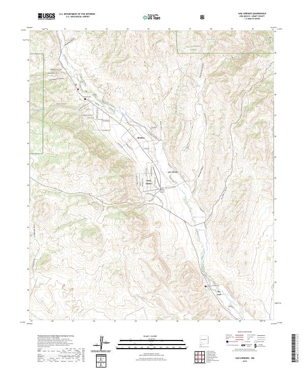
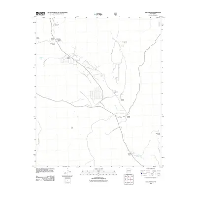 2011 San Lorenzo2011 Print · USGSCovers Mimbres, including San Juan, San Lorenzo, and other nearby areas
 - 2013 Map of San Lorenzo, 2013 Print
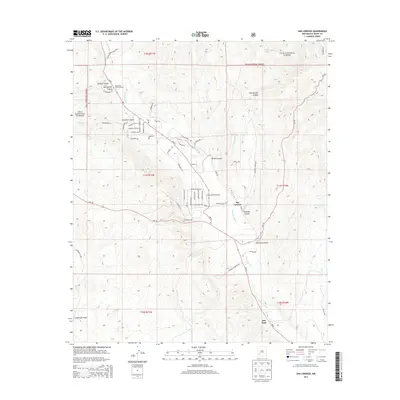 2013 San Lorenzo2013 Print · USGSCovers Mimbres, including San Juan, San Lorenzo, and other nearby areas
 - 2017 Map of San Lorenzo, 2017 Print
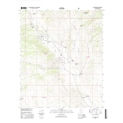 2017 San Lorenzo2017 Print · USGSCovers Mimbres, including San Juan, San Lorenzo, and other nearby areas
 - 2020 Map of San Lorenzo, 2020 Print
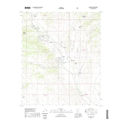 2020 San Lorenzo2020 Print · USGSCovers Mimbres, including San Juan, San Lorenzo, and other nearby areas
 - 2023 Map of San Lorenzo, 2023 Print
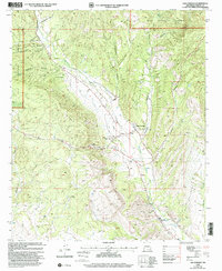
 2023 San Lorenzo2023 Print · USGSThe Mimbres River valley was a focal point of settlement and desert ranching in southwestern New Mexico during the early twenty-first century. Researchers can locate family sites and local landmarks like the San Juan Catholic Cem, Casas Adobes Airpark, and Mimbres Cem.
End of results
Showing maps 1-11 of 11
Top cities near Mimbres
Frequently asked questions
- What are the different types of historical maps available for Mimbres?
- What is the oldest map of Mimbres?
- Where can I purchase historical maps of Mimbres for my home or office?
- Where can I download high-res historical maps of Mimbres?
- Are there historical topographic maps available for Mimbres?
- Is there historical aerial imagery available for Mimbres?
- Where are historical maps of Mimbres sourced from?