Old Maps of Silver Acres, New Mexico for Genealogy
Trace your family roots with 13 historic maps of Silver Acres. These high-res maps reveal old neighborhoods, homesites, landmarks, and streets — helping you uncover where your ancestors lived and how the area evolved over time.
- Explore historic neighborhoods: Identify where your relatives may have lived in the 1800s or 1900s.
- Compare maps over time: Trace the changes in streets, buildings, and landmarks for multi-generational research.
- Perfect for genealogy & ancestry research: Used by family historians and researchers to map out lineage and migration.
These maps are an incredible resource for exploring your personal connection to Silver Acres's past.
Silver Acres, NM maps
(13)- 1909 Map of Silver City
 1909 Silver City1909 Print · USGSSilver City and the surrounding mining districts are shown at their industrial peak before the First World War. Researchers can trace early railroad spurs to camps like Santa Rita and Fierro, or locate the expansive Fort Bayard Military Reservation.2 unique versions available
 - 1950 Map of Tyrone, 1955 Print
 1950 Tyrone1955 Print · USGSMining operations in the Burro Mountains reached deep into the Grant County earth during the mid-century. Genealogists and historians can trace the industrial footprint of Tyrone and Oak Grove through numerous mines including the Klondike Tunnel and Rocket Shaft.
 - 1951 Map of Tyrone
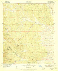 1951 Tyrone1951 Print · USGSThe Little Burro Mountains were a hive of mineral extraction in the early fifties, centering on the mining town of Tyrone. Researchers can trace historic industrial footprints like the Gettysburg Shaft, Niagara Tunnel, and the local Cem.2 unique versions available
 - 1954 Map of Silver City, 1967 Print
 1954 Silver City1967 Print · USGSSoutheast Arizona and southwest New Mexico meet in this mid-century survey of the high desert and mountain mining districts. Local researchers can trace the rail lines through Lordsburg, the silver operations at Ash Peak Mines, and the limits of Fort Bayard Military Reservation.4 unique versions available
 - 1958 Map of Silver City
 1958 Silver City1958 Print · USGSSouthwestern New Mexico and eastern Arizona appear here in the mid-1950s, a period of intensive mining and rail activity. Trace the routes of the Southern Pacific RR through Lordsburg or locate historic operations at the Chino Mine and Santa Rita.
 - 1962 Map of Silver City
 1962 Silver City1962 Print · USGSThe high desert borderlands of New Mexico and Arizona come alive in this early sixties survey. Genealogists and historians can trace the mining economy through the Chino Mine, follow the rail routes of the Southern Pacific, or locate settlements like Virden and Bayard.
 - 1992 Map of Tyrone
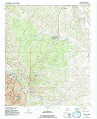 1992 Tyrone1992 Print · USGSSouthwest New Mexico in the early nineties reveals the evolving landscape of the Little Burro Mountains as mining and residential growth converged. Researchers can trace the legacy of the Tyrone Mine and find civic landmarks like Harrison A Schmitt Sch and the original Tyrone (Site).
 - 1994 Map of Silver City
 1994 Silver City1994 Print · USGSThe mining heart of Grant County is revealed in the mid-1990s as the massive industrial footprints of the copper industry shaped the landscape. Genealogists and historians can trace the rail lines of the Atchison Topeka and Santa Fe RR or locate landmarks like Fort Bayard State Medical Center and White Signal.
 - 2010 Map of Tyrone, 2010 Print
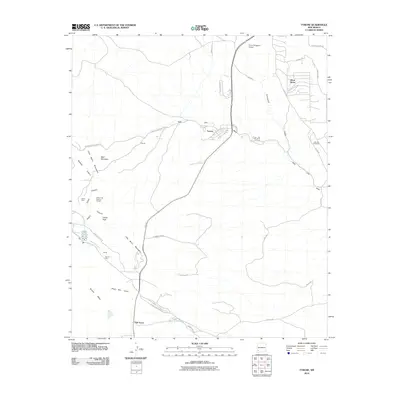 2010 Tyrone2010 Print · USGSGrant County is defined by a landscape of large-scale mining and desert settlements in the early 2000s. Local researchers can trace the footprint of the Tyrone Mine, the residential streets of Silver Acres, and legacy sites like the Virtue Mine.
 - 2013 Map of Tyrone, 2013 Print
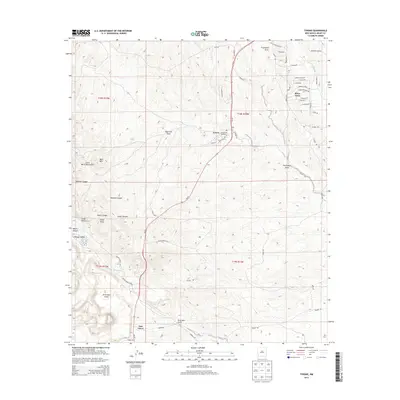 2013 Tyrone2013 Print · USGSGrant County’s mining and residential landscape is captured here in the early twenty-first century as the high desert meets industrial development. Genealogists and historians can trace the residential streets of Silver Acres and Tyrone or locate the extensive PHELPS DODGE MINE.
 - 2017 Map of Tyrone, 2017 Print
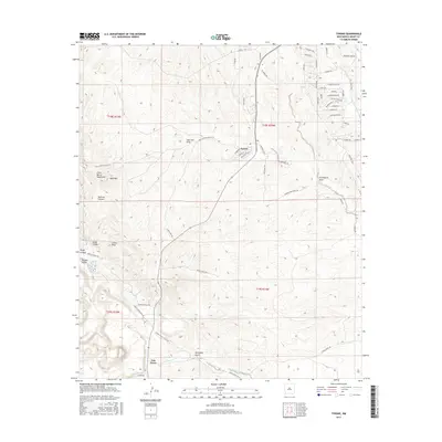 2017 Tyrone2017 Print · USGSGrant County in the late 2010s reflects a landscape of rugged high-desert transitions and modern residential expansion. Researchers can trace the layout of Tyrone and Oak Grove, or locate landmarks like the Little Burro Mountains and Graveyard Draw.
 - 2020 Map of Tyrone, 2020 Print
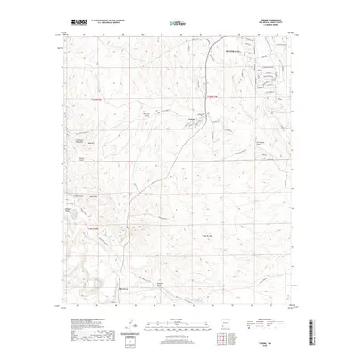 2020 Tyrone2020 Print · USGSSilver City and the mining community of Tyrone are captured here in the early twenty-first century as they interface with the Little Burro Mountains. Trace the industrial footprint of the region along Phelps Dodge Mine Rd or locate local landmarks like Graveyard Draw and Oak Grove.
 - 2023 Map of Tyrone, 2023 Print
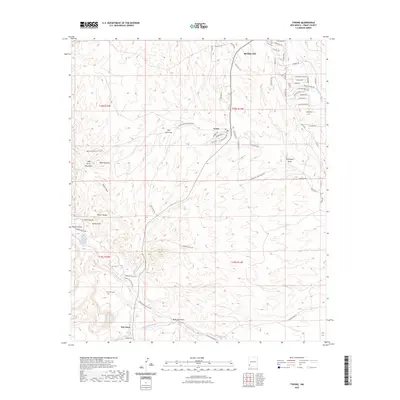 2023 Tyrone2023 Print · USGSGrant County’s high-desert terrain is captured here in the early twenty-first century, showing the intersection of mining-era settlements and modern residential growth. Genealogists can locate the Savannah Cem while tracing landmarks like Bald Mountain and Mangas Creek.
End of results
Showing maps 1-13 of 13
Top cities near Silver Acres
Frequently asked questions
- What are the different types of historical maps available for Silver Acres?
- What is the oldest map of Silver Acres?
- Where can I purchase historical maps of Silver Acres for my home or office?
- Where can I download high-res historical maps of Silver Acres?
- Are there historical topographic maps available for Silver Acres?
- Is there historical aerial imagery available for Silver Acres?
- Where are historical maps of Silver Acres sourced from?