Old Maps of Colonias, New Mexico for Academic Research
Study the evolution of Colonias with 10 high-resolution historic maps. Whether you're teaching, researching, or modeling changes in land use, these maps provide essential visual documentation of urban, environmental, and geographic change.
- Analyze long-term change: Track patterns in development, transportation, and natural features.
- Ideal for environmental or urban studies: Support academic projects with primary historical map data.
- Use in the classroom or lab: Educators and researchers rely on these maps to bring historical context to life.
These maps are a powerful tool for teaching, research, and visualizing how Colonias has changed over the decades.
Colonias, NM maps
(10)- 1892 Map of Corazon
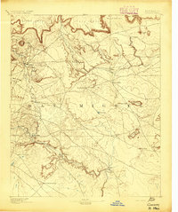
 1892 Corazon1892 Print · USGSSan Miguel County in the early 1890s reveals a territory of high mesas and vital water sources before modern development. Genealogists and researchers can locate early plazas and villages such as Chaperito, Aguila, and Las Colonias, or trace family landmarks like Cabra Spring.2 unique versions available
 - 1894 Map of Corazon
 1894 Corazon1894 Print · USGSSan Miguel county in the 1890s was a landscape of high mesas and vital river settlements. Genealogists and historians can trace early territory life through named springs and remote outposts like Chaperito, Las Colonias, and Concha Spring.5 unique versions available
 - 1954 Map of Santa Fe, 1963 Print
 1954 Santa Fe1963 Print · USGSNew Mexico's high mountains and eastern plains meet in the mid-fifties, showing a landscape defined by the Sangre de Cristo Mountains and the Pecos River. Trace family roots and local history through San Christobal Church, Sena School, and the historic Las Vegas rail corridor.4 unique versions available
 - 1958 Map of Santa Fe
 1958 Santa Fe1958 Print · USGSThe Sangre De Cristo Mountains meet the high plains in the late 1950s, showing a landscape defined by rail corridors and ranching. Genealogists can trace family-named sites like Upton Ranch or visit the Fort Union (Ruins) and Tuloso School.
 - 1963 Map of Colonias, 1965 Print
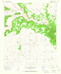 1963 Colonias1965 Print · USGSThe Pecos River valley in the early 1960s reveals a landscape of traditional land grants and family-run cattle operations. Genealogists can trace localized settlements like Colonias and El Cerrito, or locate specific family holdings such as the Manuel Ulibarri Ranch.2 unique versions available
 - 2010 Map of Colonias, 2010 Print
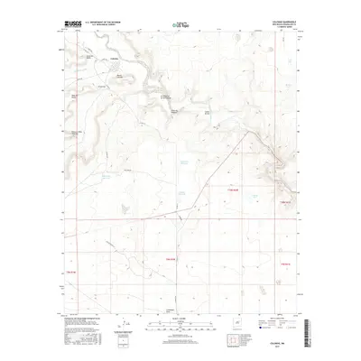
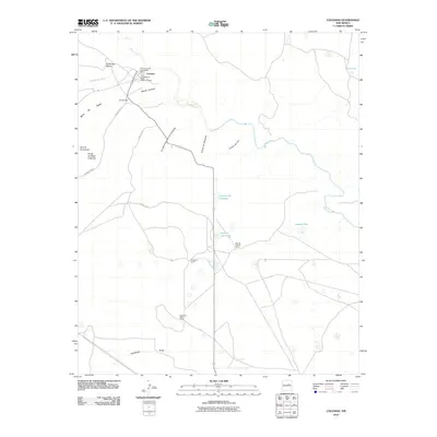 2010 Colonias2010 Print · USGSCovers Colonias, including Margarito Ulibarri Ranch, Guadalupe County, and other nearby areas
 - 2013 Map of Colonias, 2013 Print
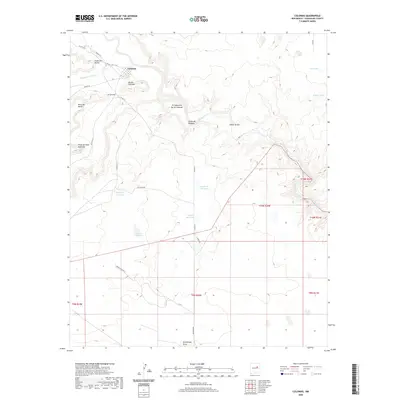
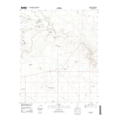 2013 Colonias2013 Print · USGSCovers Colonias, including Margarito Ulibarri Ranch, Guadalupe County, and other nearby areas
 - 2017 Map of Colonias, 2017 Print
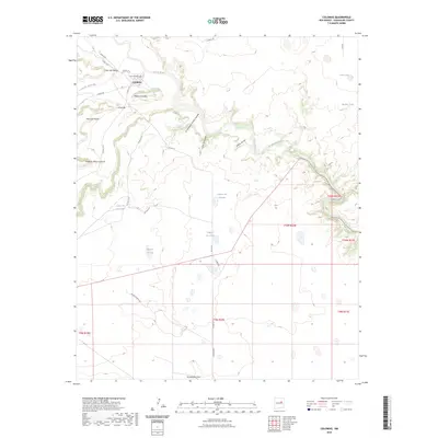
 2017 Colonias2017 Print · USGSCovers Colonias, including Margarito Ulibarri Ranch, Guadalupe County, and other nearby areas
 - 2020 Map of Colonias, 2020 Print
 2020 Colonias2020 Print · USGSCovers Colonias, including Margarito Ulibarri Ranch, Guadalupe County, and other nearby areas
 - 2023 Map of Colonias, 2023 Print
 2023 Colonias2023 Print · USGSSettlements along the Pecos River valley are shown in detail as they appeared in the early 2020s. Researchers can locate the San Jose Cem near Colonias and trace water features like Laguna del Arabe and Guadalupe Draw.
End of results
Showing maps 1-10 of 10
Top cities near Colonias
Frequently asked questions
- What are the different types of historical maps available for Colonias?
- What is the oldest map of Colonias?
- Where can I purchase historical maps of Colonias for my home or office?
- Where can I download high-res historical maps of Colonias?
- Are there historical topographic maps available for Colonias?
- Is there historical aerial imagery available for Colonias?
- Where are historical maps of Colonias sourced from?