Old Maps of Roy, New Mexico for Metal Detecting
Plan your next treasure hunt with 9 historic maps of Roy. Find old homesites, ghost towns, trails, and gathering spots that may be lost to time — perfect for identifying promising metal detecting locations.
- Locate forgotten sites: Uncover places like long-lost settlements, abandoned rail lines, or gathering spots.
- Plan better hunts: Use map overlays combined with LiDAR or satellite views to narrow in on historically rich areas.
- Made for detectorists: Thousands of hobbyists use these maps to discover relics, coins, and hidden history.
Use these historic maps to boost your research and find new opportunities beneath the surface of Roy.
Roy, NM maps
(9)- 1954 Map of Santa Fe, 1963 Print
 1954 Santa Fe1963 Print · USGSNew Mexico's high mountains and eastern plains meet in the mid-fifties, showing a landscape defined by the Sangre de Cristo Mountains and the Pecos River. Trace family roots and local history through San Christobal Church, Sena School, and the historic Las Vegas rail corridor.4 unique versions available
 - 1958 Map of Santa Fe
 1958 Santa Fe1958 Print · USGSThe Sangre De Cristo Mountains meet the high plains in the late 1950s, showing a landscape defined by rail corridors and ranching. Genealogists can trace family-named sites like Upton Ranch or visit the Fort Union (Ruins) and Tuloso School.
 - 1974 Map of Roy, 1977 Print
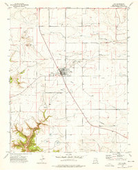 1974 Roy1977 Print · USGSHarding County life in the mid-seventies centers on the high plains town of Roy, where the community's agricultural and social infrastructure is clearly mapped. Genealogists and historians can trace local landmarks like the Cem, County Fairground, and the canyons of La Cinta Canyon to the south.
 - 1981 Map of Roy, 1982 Print
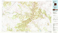 1981 Roy1982 Print · USGSNortheastern New Mexico's ranching and volcanic landscapes are documented here in the early eighties. Researchers can trace the Santa Fe Trail, locate the historic Fort Union Nat Mon, and explore the rail corridor through Roy and Solano.
 - 2010 Map of Roy, 2010 Print
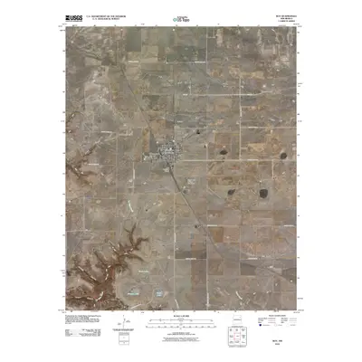 2010 Roy2010 Print · USGSThe village of Roy is documented here at the start of the 2010s, showing its enduring role as a high plains crossroads. Researchers can trace local landmarks like Roy Cemetery or follow the terrain into Cañon Blanco and Sawmill Canyon.
 - 2013 Map of Roy, 2013 Print
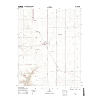 2013 Roy2013 Print · USGSHarding County ranching and town life are centered at Roy during the early twenty-first century. Researchers can trace local genealogy and land use through the Roy Cem and family-named landmarks like John Snyder Draw or the Ray Ranch Airport.
 - 2017 Map of Roy, 2017 Print
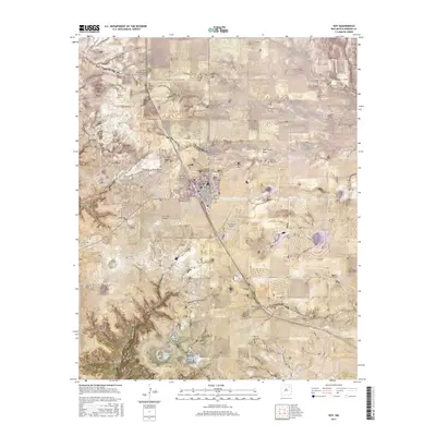 2017 Roy2017 Print · USGSHarding County ranching country is centered on the village of Roy during the early twenty-first century. Genealogists and local researchers can locate the Roy Cem and trace livestock water sources like Gunn Lake and Matilda Roy Draw.
 - 2020 Map of Roy, 2020 Print
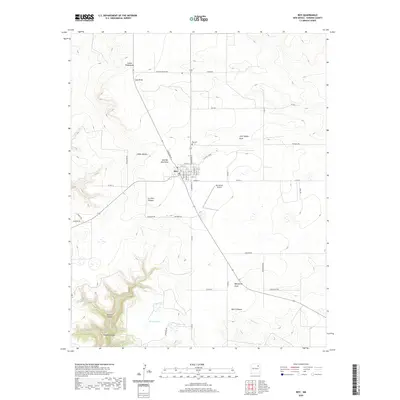 2020 Roy2020 Print · USGSHarding County’s high mesa country and the town of Roy are captured here in the early twenty-first century. Researchers can trace family-named landmarks like Matilda Roy Draw and John Snyder Draw alongside the Roy Cem.
 - 2023 Map of Roy, 2023 Print
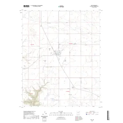 2023 Roy2023 Print · USGSThe high plains of Harding County come into focus here, centered on the community of Roy and its surrounding ranchlands. Local historians can trace the town’s layout and find outlying landmarks like Roy Cem, the Ray Ranch Airport, and the seasonal waters of Morgan Lake.
End of results
Showing maps 1-9 of 9
Frequently asked questions
- What are the different types of historical maps available for Roy?
- What is the oldest map of Roy?
- Where can I purchase historical maps of Roy for my home or office?
- Where can I download high-res historical maps of Roy?
- Are there historical topographic maps available for Roy?
- Is there historical aerial imagery available for Roy?
- Where are historical maps of Roy sourced from?