Old Maps of Cloverdale, New Mexico for Academic Research
Study the evolution of Cloverdale with 13 high-resolution historic maps. Whether you're teaching, researching, or modeling changes in land use, these maps provide essential visual documentation of urban, environmental, and geographic change.
- Analyze long-term change: Track patterns in development, transportation, and natural features.
- Ideal for environmental or urban studies: Support academic projects with primary historical map data.
- Use in the classroom or lab: Educators and researchers rely on these maps to bring historical context to life.
These maps are a powerful tool for teaching, research, and visualizing how Cloverdale has changed over the decades.
Cloverdale, NM maps
(13)- 1918 Map of Cienega Springs
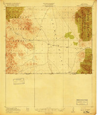 1918 Cienega Springs1918 Print · USGSThe New Mexico-Sonora borderlands at the end of the Great War were a remote frontier of high mountain passes and desert valleys. Genealogists and historians can trace early ranching outposts like Lang Ranch, Cloverdale, and the vital water source at Fitzpatricks Well.3 unique versions available
 - 1955 Map of Douglas
 1955 Douglas1955 Print · USGSThe Arizona and New Mexico borderlands come into focus in the mid-1950s, highlighting the mining and ranching hubs of the Desert Southwest. Genealogists and historians can trace the foundations of Bisbee, the operations at Hachita Mine, and rural landmarks like the Double Adobe School.2 unique versions available
 - 1959 Map of Douglas, 1968 Print
 1959 Douglas1968 Print · USGSSoutheast Arizona and southwest New Mexico meet at the border in the late fifties, showcasing a high-desert landscape defined by industrial copper mining and ranching. Genealogists and historians can trace the foundations of Bisbee, locate the Lavender Pit, and follow the Southern Pacific line through Douglas.4 unique versions available
 - 1961 Map of Douglas
 1961 Douglas1961 Print · USGSThe Arizona-Mexico borderlands come into focus at mid-century, detailing the vital mining and ranching hubs of Cochise County and southwest New Mexico. Genealogists and historians can trace the Southern Pacific Railroad through Bisbee and Douglas, or locate early sites like the Old Hachita Mine and Rucker School.
 - 1964 Map of Douglas
 1964 Douglas1964 Print · USGSThe Arizona-New Mexico borderlands in the early sixties reveal a landscape of deep-rooted copper mining and high-desert ranching. Genealogists and researchers can trace the legacy of settlements like Pirtleville, the industrial site of the Copper Smelter, and remnants of the Cochise Mines.
 - 1982 Map of Black Point
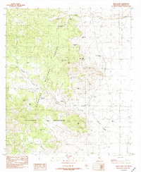 1982 Black Point1982 Print · USGSThe high desert of Hidalgo County comes into focus in the early eighties, showing the ranching infrastructure of the Guadalupe Mountains. Researchers can trace old water sources and ranch sites like Cloverdale Spring and Windy Miller Tank.
 - 1983 Map of Alamo Hueco Mountains
 1983 Alamo Hueco Mountains1983 Print · USGSThe New Mexico-Mexico borderlands in the early eighties reveal a landscape of remote ranching outposts and rugged mountain ranges. Researchers can trace the path of the Continental Divide and locate isolated settlements like Fitzpatricks, San Luis, and the Antelope Wells crossing.
 - 1998 Map of Black Point, 2003 Print
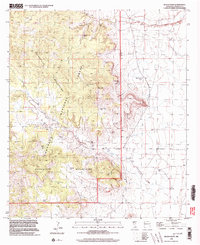 1998 Black Point2003 Print · USGSThe New Mexico Bootheel in the late twentieth century remains a landscape of cattle ranching and high-elevation peaks. Researchers can trace the ranching infrastructure around Cloverdale, including family-named landmarks like Cordy Cowan Tank and the local Cem.
 - 2012 Map of Black Point, 2012 Print
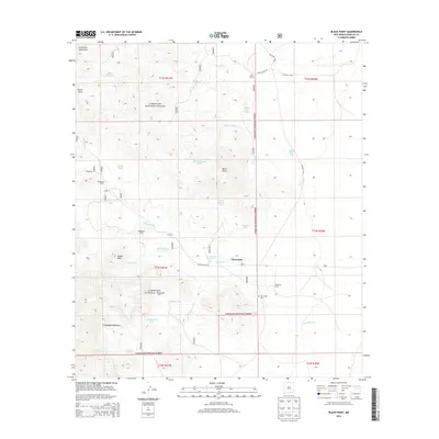
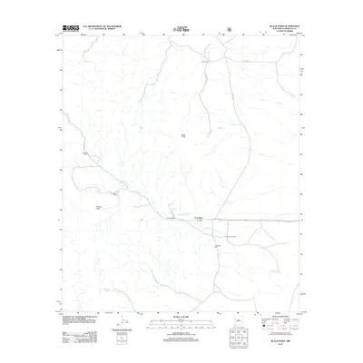 2012 Black Point2012 Print · USGSCovers Cloverdale, including Hidalgo County, United States, and other nearby areas
 - 2013 Map of Black Point, 2013 Print
 2013 Black Point2013 Print · USGSCovers Cloverdale, including Hidalgo County, United States, and other nearby areas
 - 2017 Map of Black Point, 2017 Print
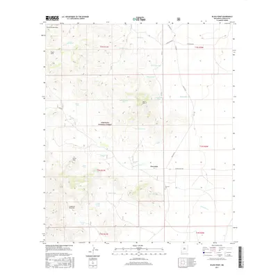 2017 Black Point2017 Print · USGSCovers Cloverdale, including Hidalgo County, United States, and other nearby areas
 - 2020 Map of Black Point, 2020 Print
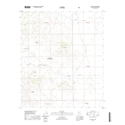 2020 Black Point2020 Print · USGSCovers Cloverdale, including Hidalgo County, United States, and other nearby areas
 - 2023 Map of Black Point, 2023 Print
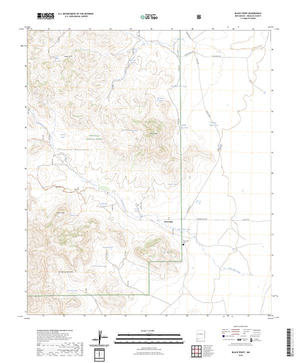 2023 Black Point2023 Print · USGSThe high desert of Hidalgo County comes into focus in this recent survey, showcasing the remote ranching country where the Peloncillo Mountains meet. Researchers can trace the legacy of early residents at the Cloverdale Cem or locate reliable water sources like Cloverdale Spring and Black CCC Tank.
End of results
Showing maps 1-13 of 13
Frequently asked questions
- What are the different types of historical maps available for Cloverdale?
- What is the oldest map of Cloverdale?
- Where can I purchase historical maps of Cloverdale for my home or office?
- Where can I download high-res historical maps of Cloverdale?
- Are there historical topographic maps available for Cloverdale?
- Is there historical aerial imagery available for Cloverdale?
- Where are historical maps of Cloverdale sourced from?