
1918 Map of Cienega Springs
USGS Topo · Published 1918About this map
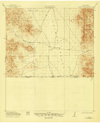
Animas Valley dominates the central landscape of this borderlands survey, serving as a wide basin between high mountain ranges. In the west, the Peloncillo Mts and Guadalupe Mts form a jagged boundary, while the Animas Mountains and San Luis Mts rise to the east. This 1917–1918 fieldwork by A. L. Ackers and other topographers details a sparsely settled ranching frontier along the international boundary between the United States and Mexico. Human presence is concentrated around water sources and small outposts like Cloverdale, Bramlett, and Lang Ranch. Critical landmarks for desert navigation are carefully noted, including Fitzpatricks Well, Birch Springs, and the namesake Cienega Springs. The map illustrates the strategic importance of mountain crossings such as San Luis Pass and Guadalupe Pass, which provided essential routes through the surrounding Coronado National Forest.
Find a feature on this map
20 named features on this map. Tap any name to fly to it.
Don’t see what you’re looking for? This feature index may not catch every label — zoom into the map to look around manually.
Map Details
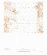
Editions of this 1918 Cienega Springs Map
3 editions found
Other maps of this area

1917 · Chiricahua
USGS Topo · 1:125,000

1917 · Antelope Wells
USGS Topo · 1:62,500

1918 · Walnut Wells
USGS Topo · 1:62,500

1918 · Animas Peak
USGS Topo · 1:62,500

1919 · Antelope Wells
USGS Topo · 1:62,500

1919 · Perilla
USGS Topo · 1:125,000

1919 · Chiricahua
USGS Topo · 1:125,000

1920 · Animas Peak
USGS Topo · 1:62,500

1922 · McDonald
USGS Topo · 1:62,500

1923 · Walnut Wells
USGS Topo · 1:62,500