Old Maps of Jal, New Mexico for Academic Research
Study the evolution of Jal with 15 high-resolution historic maps. Whether you're teaching, researching, or modeling changes in land use, these maps provide essential visual documentation of urban, environmental, and geographic change.
- Analyze long-term change: Track patterns in development, transportation, and natural features.
- Ideal for environmental or urban studies: Support academic projects with primary historical map data.
- Use in the classroom or lab: Educators and researchers rely on these maps to bring historical context to life.
These maps are a powerful tool for teaching, research, and visualizing how Jal has changed over the decades.
Jal, NM maps
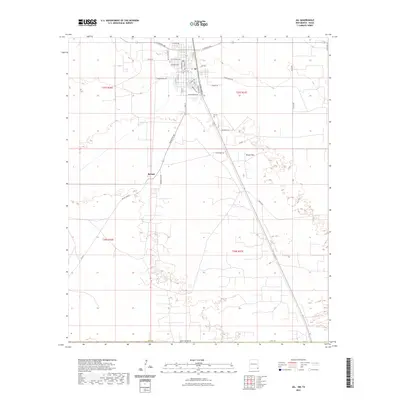
(15)- 1954 Map of Hobbs, 1963 Print
 1954 Hobbs1963 Print · USGSThe High Plains and Permian Basin transition is captured here at the height of the mid-century energy boom. Genealogists and industrial historians can trace the foundations of Humble City, locate the Potash Mine and Plant, and follow the Texas-New Mexico RR.2 unique versions available
 - 1958 Map of Hobbs
 1958 Hobbs1958 Print · USGSThe High Plains of the Texas-New Mexico border are shown here during the height of the mid-century oil boom. Genealogists and historians can trace the development of Hobbs, Lovington, and Jal, alongside ranching landmarks like James Ranch and the early Texas-New Mexico Railway.
 - 1969 Map of Jal NW, 1972 Print
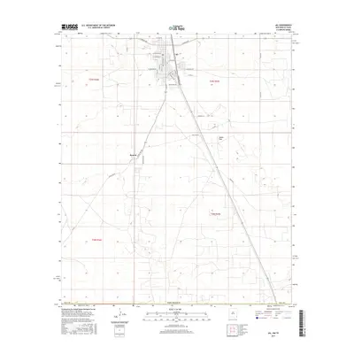
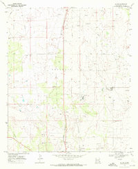 1969 Jal NW1972 Print · USGSSoutheast New Mexico in the late sixties shows a landscape defined by the petroleum industry and the growing town of Jal. Researchers can locate Jal Cooper Cem, trace the Texas New Mexico railroad, and find the Gas Plant or Winters.2 unique versions available
 - 1969 Map of Jal, 1972 Print
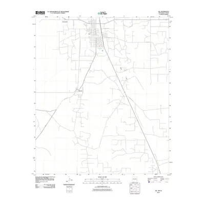
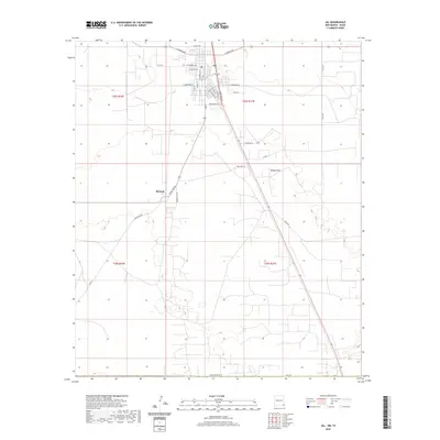
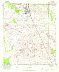 1969 Jal1972 Print · USGSSoutheast New Mexico in the late sixties is defined here by the industrial infrastructure of the oil and gas fields. Researchers can trace the town layout of Jal, find the old Drive-in Theater, and follow the Texas New Mexico rail line as it heads toward the border.2 unique versions available
 - 1978 Map of Jal, 1979 Print
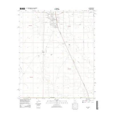
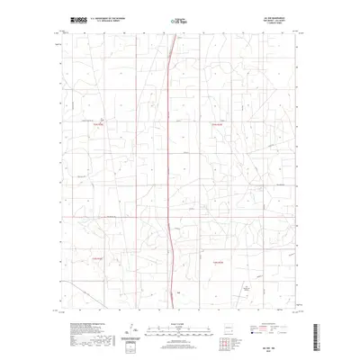
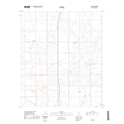
 1978 Jal1979 Print · USGSSoutheast New Mexico in the late seventies is a landscape shaped by energy production and the rugged Llano Estacado. Genealogists and industrial historians can trace the growth of Jal and Eunice along the Texas-New Mexico RR and across the Jal Oil Field.
 - 2010 Map of Jal NW, 2010 Print
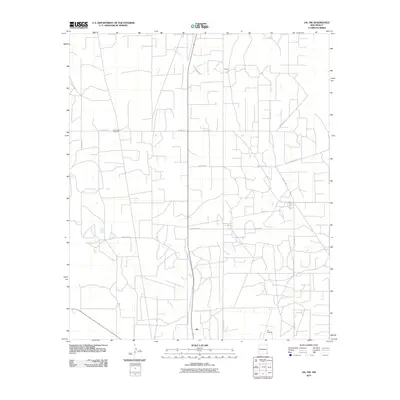 2010 Jal NW2010 Print · USGSCovers Jal, including Lea County, United States, and other nearby areas
 - 2010 Map of Jal, 2010 Print
 2010 Jal2010 Print · USGSCovers Jal, including Bennett, Lea County, and other nearby areas
 - 2013 Map of Jal NW, 2013 Print
 2013 Jal NW2013 Print · USGSCovers Jal, including Lea County, United States, and other nearby areas
 - 2013 Map of Jal, 2013 Print
 2013 Jal2013 Print · USGSCovers Jal, including Bennett, Lea County, and other nearby areas
 - 2017 Map of Jal NW, 2017 Print
 2017 Jal NW2017 Print · USGSCovers Jal, including Lea County, United States, and other nearby areas
 - 2017 Map of Jal, 2017 Print
 2017 Jal2017 Print · USGSCovers Jal, including Bennett, Lea County, and other nearby areas
 - 2020 Map of Jal, 2020 Print
 2020 Jal2020 Print · USGSCovers Jal, including Bennett, Lea County, and other nearby areas
 - 2020 Map of Jal NW, 2020 Print
 2020 Jal NW2020 Print · USGSCovers Jal, including Lea County, United States, and other nearby areas
 - 2023 Map of Jal NW, 2023 Print
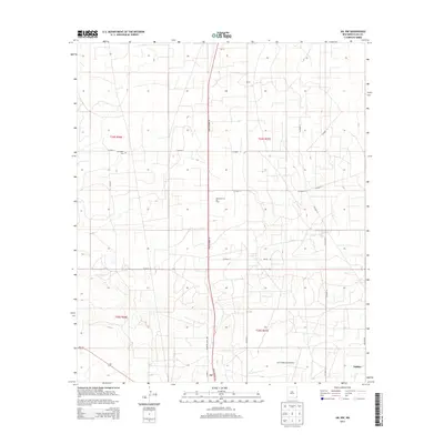
 2023 Jal NW2023 Print · USGSLea County's desert industry and the northern outskirts of the Permian Basin are captured in this contemporary survey. Researchers can trace the modern road networks supporting the energy sector, including Deep Wells Rd and Oxy Ln near Jal.
 - 2023 Map of Jal, 2023 Print
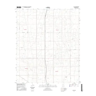
 2023 Jal2023 Print · USGSJal and the nearby settlement of Bennett appear at the edge of the New Mexico desert in this modern survey. Genealogists and researchers can trace local family landmarks and burial sites at Jal Cem or explore the transit network from Toboso Flats to Frying Pan Rd.
End of results
Showing maps 1-15 of 15
Top neighborhoods of Jal
Frequently asked questions
- What are the different types of historical maps available for Jal?
- What is the oldest map of Jal?
- Where can I purchase historical maps of Jal for my home or office?
- Where can I download high-res historical maps of Jal?
- Are there historical topographic maps available for Jal?
- Is there historical aerial imagery available for Jal?
- Where are historical maps of Jal sourced from?