Old Maps of Columbus, New Mexico for Hiking & Exploration
Hike through history with 22 historic maps of Columbus. Explore old trails, ghost towns, and forgotten backroads — perfect for outdoor adventurers and local explorers.
- Rediscover forgotten places: Map out old mining camps, roads, and footpaths that no longer exist on modern maps.
- Layer with modern tools: Combine with LiDAR or satellite views to plan hikes through historical terrain.
- Made for exploration: Popular among hikers, overlanders, and local history lovers.
Use these maps to find adventure and explore the hidden past of Columbus.
Columbus, NM maps
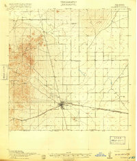
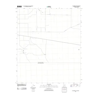
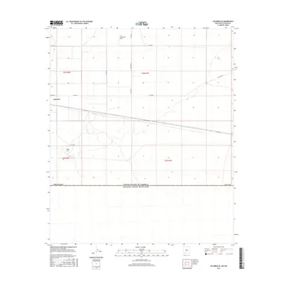
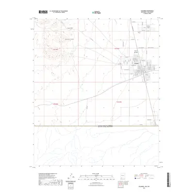
(22)- 1917 Map of Columbus, 1920 Print
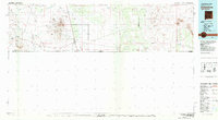
 1917 Columbus1920 Print · USGSThe high desert of southern Luna County comes alive in this late-1910s survey of the international border region near Columbus. Researchers can trace the rail corridor of the El Paso and Southwestern and locate remote landmarks like Stephenson Ranch and the Boundary Gate.3 unique versions available
 - 1918 Map of Columbus
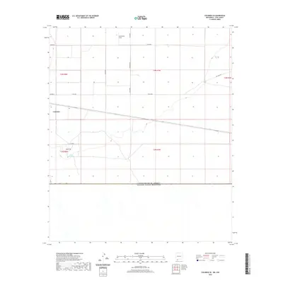
 1918 Columbus1918 Print · USGSThe New Mexico borderlands come alive in this survey of the high desert during a period of intense military and rail activity. Genealogists and historians can trace family outposts from Stephenson Ranch to Waterloo, while following the El Paso and Southwestern rail line as it nears the United States Mexico Boundary Line.2 unique versions available
 - 1920 Map of Columbus, 1931 Print
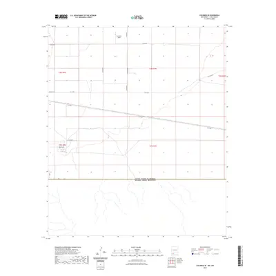
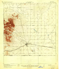 1920 Columbus1931 Print · USGSThe New Mexico borderlands come into focus in the years following the border raids, centered on the strategic railroad town of Columbus. Family historians can trace early ranching life at Stephenson Ranch or locate vanished rural outposts like Waterloo and Mayfield School.3 unique versions available
 - 1953 Map of El Paso
 1953 El Paso1953 Print · USGSEl Paso and the border region are shown here in the early fifties, documenting a landscape of shared river life and rising military presence. Genealogists and historians can trace rail-tied communities like Smeltertown, San Elizario, and the grounds of Fort Bliss.
 - 1959 Map of El Paso, 1968 Print
 1959 El Paso1968 Print · USGSEl Paso and the international borderlands come alive in this mid-century survey of the Chihuahuan Desert. Genealogists and historians can trace rail-side settlements like Columbus and Fabens, locate the sprawling Fort Bliss, and explore the geologically unique Kilbourne Hole.2 unique versions available
 - 1964 Map of El Paso
 1964 El Paso1964 Print · USGSThe El Paso and Juarez borderlands are shown in detail during the mid-sixties, from the urban center to the remote volcanic craters of the West Potrillo Mountains. Trace the rail-and-river network through Asarco Smeltertown, the Fort Bliss Military Reservation, and Columbus.
 - 1965 Map of El Paso
 1965 El Paso1965 Print · USGSEl Paso and the Mesilla Valley are shown in the mid-1960s as the region's military and transport infrastructure expanded. Researchers can trace the irrigation network along the Rio Grande, find old border stations like Columbus, and locate Hueco Tanks.
 - 1965 Map of Columbus, 1967 Print
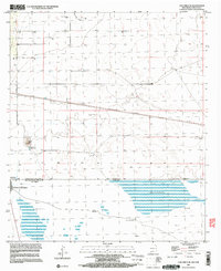
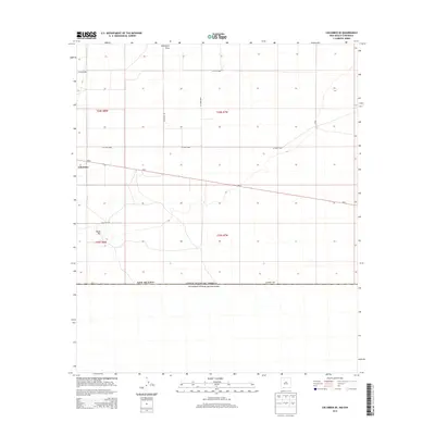
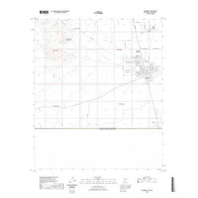
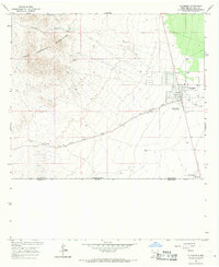 1965 Columbus1967 Print · USGSThe high desert borderlands near the New Mexico-Chihuahua line are captured here in the mid-sixties, centered on the historic town of Columbus. Researchers can trace the Old Railroad Grade, locate the village Cem, and see the footprint of Pancho Villa State Park.2 unique versions available
 - 1966 Map of Columbus SE, 1967 Print
 1966 Columbus SE1967 Print · USGSThe high desert along the New Mexico-Chihuahua border comes into focus in the mid-1960s, showing the intersection of international boundaries and ranching life. Genealogists and researchers can trace water-right landmarks like Dean Well, O'Bryan Windmill, and the OLD RAILROAD GRADE.
 - 1981 Map of Columbus
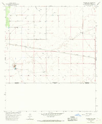
 1981 Columbus1981 Print · USGSSouthern New Mexico’s borderlands are detailed here in the early eighties, centered on the historic village of Columbus. Researchers can trace the legacy of mining and transit through the Mahoney Mines, the Old Railroad Grade, and the grounds of Pancho Villa State Park.
 - 1996 Map of Columbus SE, 2003 Print
 1996 Columbus SE2003 Print · USGSThe international boundary between New Mexico and Chihuahua defines this landscape as it appeared in the mid-nineties. Researchers can trace borderland settlements like Puerto Palomas and Nuevo Horizonte alongside landmarks like Black Hill and Stiles Reservoir.
 - 1996 Map of Columbus, 2003 Print
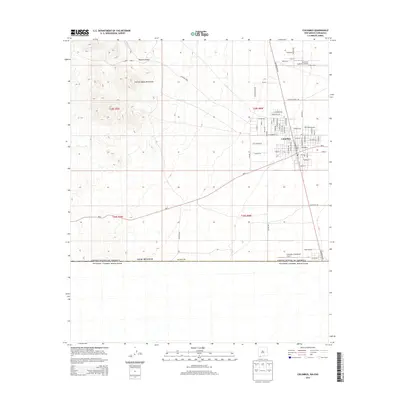
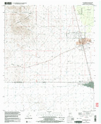 1996 Columbus2003 Print · USGSThe borderlands of New Mexico and Chihuahua are documented here in the mid-nineties, centered on the historic town of Columbus. Researchers can trace the Old Railroad Grade, locate the Port of Entry U.S. Customs, and explore the rugged Tres Hermanas Mountains.
 - 2010 Map of Columbus, 2010 Print
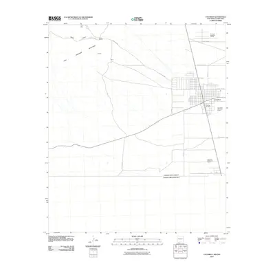 2010 Columbus2010 Print · USGSCovers Columbus, including Puerto Palomas, Luna County, and other nearby areas
 - 2010 Map of Columbus SE, 2010 Print
 2010 Columbus SE2010 Print · USGSCovers Columbus, including Luna County, Ascensión, and other nearby areas
 - 2013 Map of Columbus SE, 2013 Print
 2013 Columbus SE2013 Print · USGSCovers Columbus, including Luna County, Ascensión, and other nearby areas
 - 2013 Map of Columbus, 2013 Print
 2013 Columbus2013 Print · USGSCovers Columbus, including Puerto Palomas, Luna County, and other nearby areas
 - 2017 Map of Columbus, 2017 Print
 2017 Columbus2017 Print · USGSCovers Columbus, including Puerto Palomas, Luna County, and other nearby areas
 - 2017 Map of Columbus SE, 2017 Print
 2017 Columbus SE2017 Print · USGSCovers Columbus, including Luna County, Ascensión, and other nearby areas
 - 2020 Map of Columbus SE, 2020 Print
 2020 Columbus SE2020 Print · USGSCovers Columbus, including Luna County, Ascensión, and other nearby areas
 - 2020 Map of Columbus, 2020 Print
 2020 Columbus2020 Print · USGSCovers Columbus, including Puerto Palomas, Luna County, and other nearby areas
 - 2023 Map of Columbus SE, 2023 Print
 2023 Columbus SE2023 Print · USGSThe international border with Mexico meets the high desert of Luna County in this recent survey. Local researchers can trace rural water sources like Stiles Reservoir and the path of Seventysix Draw alongside landmarks like Black Hill.
 - 2023 Map of Columbus, 2023 Print
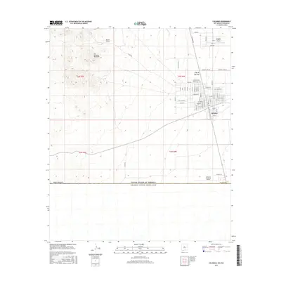
 2023 Columbus2023 Print · USGSThe high desert of Luna County meets the international border in the early 2020s, centered on the historic town of Columbus. Researchers can trace the layout of the First Aero Squadron Airpark, explore the City of the Sun, and locate the Valley Heights Cem.
End of results
Showing maps 1-22 of 22
Frequently asked questions
- What are the different types of historical maps available for Columbus?
- What is the oldest map of Columbus?
- Where can I purchase historical maps of Columbus for my home or office?
- Where can I download high-res historical maps of Columbus?
- Are there historical topographic maps available for Columbus?
- Is there historical aerial imagery available for Columbus?
- Where are historical maps of Columbus sourced from?