2000s (21st Century) Maps of Ledoux, New Mexico
Explore 6 historic maps of Ledoux from the 2000s (21st Century). These maps offer a rare glimpse into what life looked like during the 2000s — showing old roads, neighborhoods, homes, and landmarks that have changed or disappeared over time.
Whether you're researching your family's past, planning a metal detecting trip, or studying how Ledoux's landscape evolved across the 2000s, these high-resolution maps are a powerful tool for exploring the history of this region.
- Focus on a specific era: All maps on this page are from the 2000s, giving you a focused view of this time period.
- See what’s changed: Compare century-old streets, trails, and buildings to today's modern landscape using overlays and satellite layers.
- Research with precision: Use these maps for genealogy, historical research, land use analysis, or educational projects.
- View, download, or print: Maps are fully viewable online in high resolution, and can be downloaded or printed for your own records.
Start exploring Ledoux's history through authentic maps from the 2000s. This is your window into the past.
Ledoux, NM maps
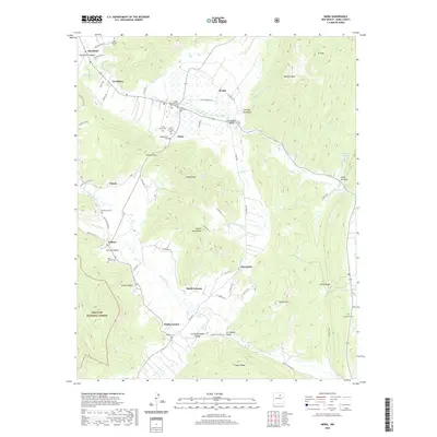
(6)- 2002 Map of Mora, 2003 Print
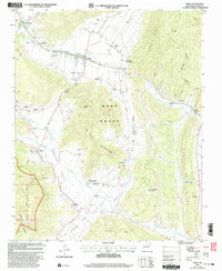 2002 Mora2003 Print · USGSThe Mora River valley at the start of the 2000s remains a landscape defined by mountain villages and deep Catholic roots. Genealogists can trace family landmarks across dozens of sites, from St Gertrude Cem and Ledoux to the Brother of Jesus Mission.
 - 2011 Map of Mora, 2011 Print
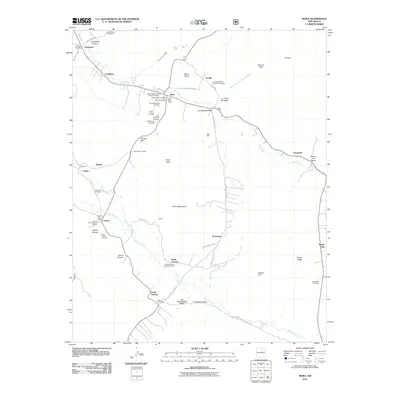 2011 Mora2011 Print · USGSCovers Ledoux, including Mora, Abuelo, and other nearby areas
 - 2013 Map of Mora, 2013 Print
 2013 Mora2013 Print · USGSCovers Ledoux, including Mora, Abuelo, and other nearby areas
 - 2017 Map of Mora, 2017 Print
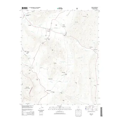
 2017 Mora2017 Print · USGSCovers Ledoux, including Mora, Abuelo, and other nearby areas
 - 2020 Map of Mora, 2020 Print
 2020 Mora2020 Print · USGSCovers Ledoux, including Mora, Abuelo, and other nearby areas
 - 2023 Map of Mora, 2023 Print
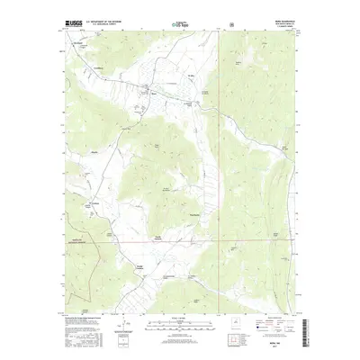
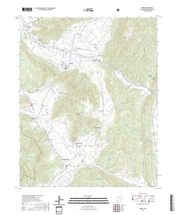 2023 Mora2023 Print · USGSThe high valleys of northern New Mexico are documented here in detail, showing a cultural landscape defined by mountain agriculture and river-fed settlements. Genealogists can trace family names and local history across several burial sites, including Saint Gertrude Cem, Bethel Cem, and Laumbachs Cem.
End of results
Showing maps 1-6 of 6
Top cities near Ledoux
Frequently asked questions
- What are the different types of historical maps available for Ledoux?
- What is the oldest map of Ledoux?
- Where can I purchase historical maps of Ledoux for my home or office?
- Where can I download high-res historical maps of Ledoux?
- Are there historical topographic maps available for Ledoux?
- Is there historical aerial imagery available for Ledoux?
- Where are historical maps of Ledoux sourced from?