Old Maps of Ocate, New Mexico for Genealogy
Trace your family roots with 10 historic maps of Ocate. These high-res maps reveal old neighborhoods, homesites, landmarks, and streets — helping you uncover where your ancestors lived and how the area evolved over time.
- Explore historic neighborhoods: Identify where your relatives may have lived in the 1800s or 1900s.
- Compare maps over time: Trace the changes in streets, buildings, and landmarks for multi-generational research.
- Perfect for genealogy & ancestry research: Used by family historians and researchers to map out lineage and migration.
These maps are an incredible resource for exploring your personal connection to Ocate's past.
Ocate, NM maps
(10)- 1954 Map of Raton, 1963 Print
 1954 Raton1963 Print · USGSNorthern New Mexico's high-country and plains are documented here in the early sixties, showing the region's ranching and mining infrastructure. Trace the legacy of the Maxwell Land Grant, locate remote rural sites like Tafoya School, and follow the Atchison Topeka and Santa Fe Railway through the heart of Raton.3 unique versions available
 - 1958 Map of Raton
 1958 Raton1958 Print · USGSNorthern New Mexico and the Colorado borderlands are mapped here in the late fifties, showcasing a landscape of high peaks and historic land grants. Genealogists and historians can trace families across Picuris Pueblo, find old schoolhouses like Piedra Lumbre School, or follow the Atchison Topeka and Santa Fe rail line.3 unique versions available
 - 1966 Map of Ocate, 1968 Print
 1966 Ocate1968 Print · USGSHigh-altitude ranching and small Spanish-American settlements define this Mora County landscape in the mid-1960s. Researchers can trace family roots through the sites of Ocate Mission, Los LeFebres, and the Strong Cem along the creek canyon.2 unique versions available
 - 1983 Map of Taos
 1983 Taos1983 Print · USGSNorthern New Mexico's high-country heritage is on full display in the early eighties, from the deep river canyons to the highest alpine peaks. Genealogists and historians can trace traditional land-grant settlements like Las Trampas, Truchas, and the historic Taos Pueblo.2 unique versions available
 - 1994 Map of Ocate, 1998 Print
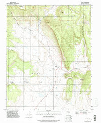 1994 Ocate1998 Print · USGSMora County ranchlands and mesa country are frozen in time during the mid-1990s as this survey documents a high-altitude landscape of isolated peaks and remote settlements. Genealogists and local historians can locate the Ocate Mission, Guadalupe Ch, and the Strong Cem while tracing the winding path of Ocate Creek.
 - 2010 Map of Ocate, 2010 Print
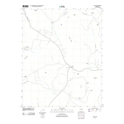 2010 Ocate2010 Print · USGSCovers Ocate, including Los LeFebres, Los Huerros, and other nearby areas
 - 2013 Map of Ocate, 2013 Print
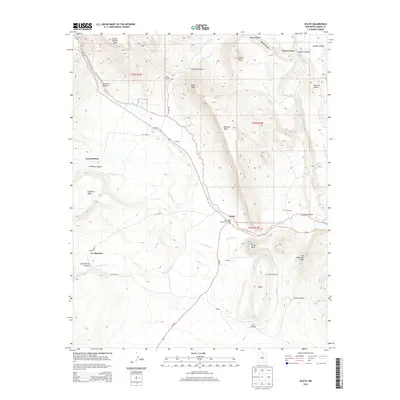 2013 Ocate2013 Print · USGSCovers Ocate, including Los LeFebres, Los Huerros, and other nearby areas
 - 2017 Map of Ocate, 2017 Print
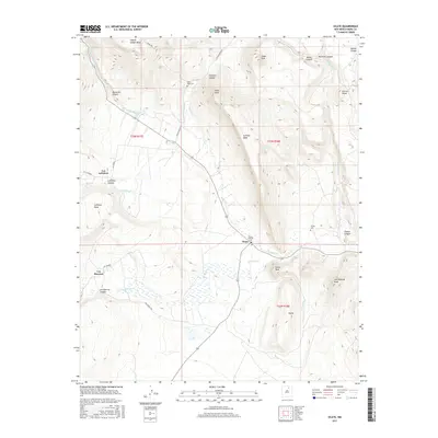 2017 Ocate2017 Print · USGSCovers Ocate, including Los LeFebres, Los Huerros, and other nearby areas
 - 2020 Map of Ocate, 2020 Print
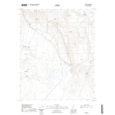 2020 Ocate2020 Print · USGSCovers Ocate, including Los LeFebres, Los Huerros, and other nearby areas
 - 2023 Map of Ocate, 2023 Print
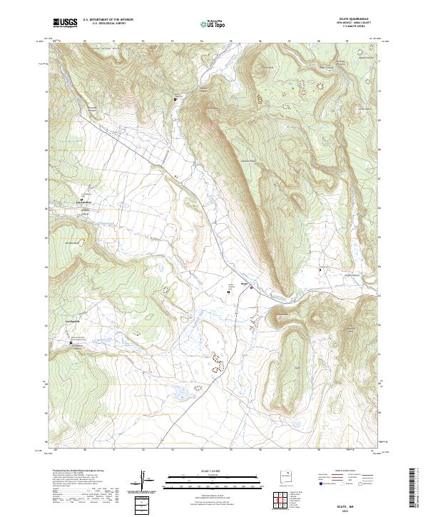 2023 Ocate2023 Print · USGSNorthern New Mexico's high-country ranching and farming traditions are visible in this recent survey of Mora County. Researchers can trace family legacies at the San Juan Bautista de los Huerros Cem and explore the historic canyon settlements of Los LeFebres and Ocate.
End of results
Showing maps 1-10 of 10
Top cities near Ocate
Frequently asked questions
- What are the different types of historical maps available for Ocate?
- What is the oldest map of Ocate?
- Where can I purchase historical maps of Ocate for my home or office?
- Where can I download high-res historical maps of Ocate?
- Are there historical topographic maps available for Ocate?
- Is there historical aerial imagery available for Ocate?
- Where are historical maps of Ocate sourced from?